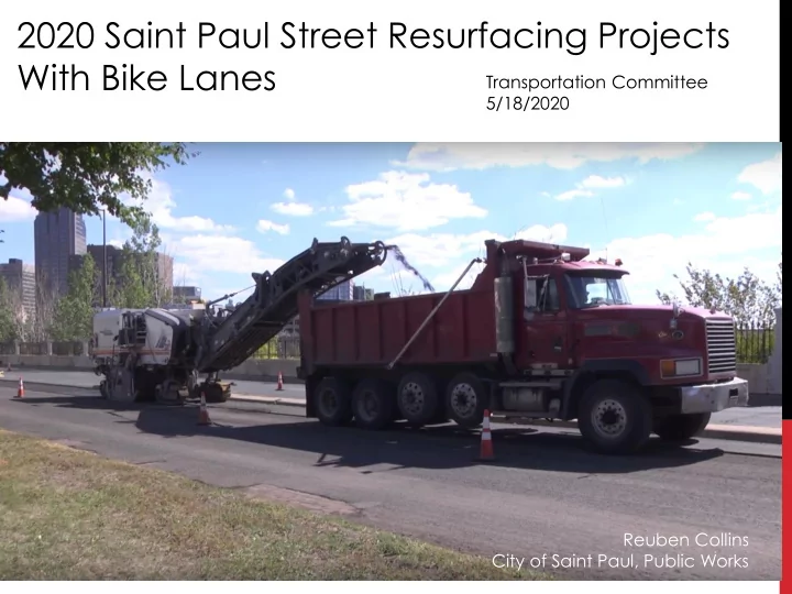

2020 Saint Paul Street Resurfacing Projects With Bike Lanes Transportation Committee 5/18/2020 Reuben Collins City of Saint Paul, Public Works
2020 MILL AND OVERLAYS Saint Paul is planning 2020 mill and overlay projects on the • following streets: Cromwell – University to Territorial • Eustis – TH280 to City Limits • Fairview – University to Minnehaha • Mississippi River Boulevard – Randolph to Marshall • Suburban – Kennard to Ruth • Territorial – Berry to Raymond • Western – Selby to Summit • Bike Lanes will be recommended for City Council approval • on Fairview and Territorial.
2020 MILL AND OVERLAYS What is being done? • Grind off the top two inches of pavement • Repave • Replace pedestrian curb ramps • Construct minor geometric improvements (bumpouts, medians) • New pavement markings (lane lines, bike lanes) Construction timeline: Fall 2020 •
TERRITORIAL/FAIRVIEW Overlap with the planned Bike • Network No Existing Bike Facilities • Bike lanes are proposed within the • project limits Objectives of Project: • • Create safer places for people to bike • Provide a dedicated place to ride predictably, improving comfort for all users • Connect to existing and future facilities nearby
TERRITORIAL ROAD Berry to Raymond •
TERRITORIAL ROAD MnDOT right-of-way across bridge •
TERRITORIAL ROAD BIKE PLAN CONTEXT EXISTING PLANNED
TERRITORIAL ROAD Existing Conditions Street is generally 44’ wide • 5, 500 – 6,000 vehicles per day • No recent speed studies (speed limit recently set • to 25 mph) Transit service (Route 63) •
TERRITORIAL ROAD Berry to Westgate: • Bike lanes in both directions • Defined travel lanes • Removal of parking on one side of the roadway (south side proposed)
TERRITORIAL ROAD Westgate to 280: • Buffered bike lanes in both directions • Defined travel lanes • Removal of parking on both sides of the roadway
TERRITORIAL ROAD At 280: • Bike lanes in both directions • Defined travel lanes
TERRITORIAL ROAD 280 to Raymond: • Bike lanes in both directions • Defined travel lanes • Removal of parking on one side of the roadway (south side proposed)
TERRITORIAL ROAD Geometric Improvements: • Larger porkchop at NE corner of Territorial/Eustis • Smaller radii at SE corner of Territorial/Cromwell
FAIRVIEW AVE University to Minnehaha •
FAIRVIEW AVE BIKE PLAN CONTEXT EXISTING PLANNED
FAIRVIEW AVE Existing Conditions Street is generally 48’ wide • 7,700 vehicles per day • 33 mph 85% speeds in 2015 (speed limit recently • set to 25 mph) Transit service (Route 67) •
FAIRVIEW AVE University to Charles: • Bike lanes in both directions • Defined travel lanes
FAIRVIEW AVE Charles to Minnehaha: • Buffered bike lanes in both directions • Defined travel lanes • Removal of parking on one side of the roadway (west side proposed)
FAIRVIEW AVE Geometric Improvements: • Bumpouts at Thomas, Lafond, Blair, and Van Buren
QUESTIONS? Reuben Collins City of Saint Paul |Department of Public Works Transportation Planning and Safety Division Reuben.collins@ci.stpaul.mn.us
Recommend
More recommend