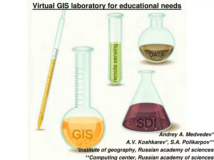

Virtual GIS laboratory for educational needs Andrey A. Medvedev* A.V. Koshkarev*, S.A. Polikarpov** *Institute of geography, Russian academy of sciences **Computing center, Russian academy of sciences
Problems : - Geoinformation software (price) - High performed processes of DEM and satellite images analysis - Data storage Aims : - Distributed spatial data access organization - Large coverage data analysis - Education
Good examples. ArcGIS OnLine
Good examples. Cloud processing of remote sensing data
“University cluster” programme based on platform «UniHUB» www.unihub.ru
Subject-oriented web-laboratories (also know as «HUB»): •access to interactive, graphical modeling tools; •providing visualization of the results of processing, including in real time; •ensuring the integration of new applications and hardware in infrastructure; •providing opportunities for joint distributed development of applications by different (administrative and geographic) groups; •organization and management of information web-resources (on-line documentation, Wiki); •the organization of virtual classrooms; •providing full technical support to users platforms etc.
Over 200 people every day use “UniHub” and it’s laboratories from the following organizations: Moscow state university, Kurchatov Institute, Baumann MSTU, RCC “Energy”, Tomsky state university, Hewlett-Packard (Russia), Permsky state university , Keldish center, Saint-Petersburg state university, University of Bergen, Latvian state university, Saint-Petersburg politechnical state university, Ural branch of RAS
GIS laboratory of Institute of geography RAS
Users (2013) : Institute of geography RAS : -department of cartography -department of geomorphology Faculty of Geography, Moscow State University: -Students of 3 year, -Master degree students (5 year) Moscow State University of Geodesy and Cartography (MSUGiK): - Students of 3 year Users in future : Open Source users and volunteers Kharkov State University Other department of Institute of geography RAS
Scheme of GIS laboratory
Software
QGIS Tasks : visualization map design map digitizing morphometric processing satellite data processing
Grass GIS Tasks : visualization map design map digitizing morphometric processing
OpenGeoDA Tasks : spatial analysis spatial autocorrelation geomodeling
SatScan Tasks : statistic analysis spatial-time analisys
Spring GIS (coming soon) Tasks : DEM and satellite images processing
Data
Data DEM Satellite images Aster GDEM, GTOPO, ETOPO, Landsat, Aster, Spot, Modis SRTM Aerial photo (IGRAS archive) Vector data (IG RAS) -Base layers -Thematic layers
Data in GIS Laboratory Data storage User session Application for data access
Data from Web (frames for access) EarthExplorer GLOVIS EOWEB EOSDIS
Results
DEM processing Remote sensing data processing
Results : 1. Mapping of dangerous relief forming processes of the Kuril islands 2. Elevation classification of the Kuril islands
Crimea mountains classification by geomorphological processes
Today's works : Krasnodar region and Krimsk city area hazards and risk mapping
Thank you for your attention!!! a.a.medvedeff@gmail.com
Recommend
More recommend