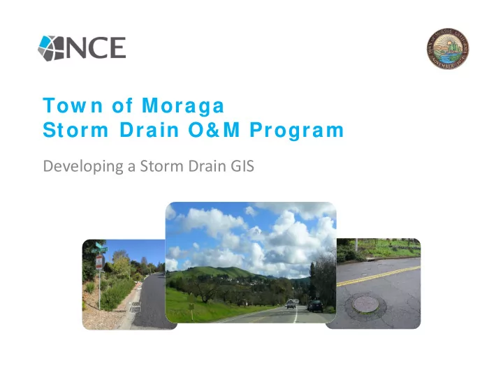
Tow n of Moraga Storm Drain O&M Program Developing a Storm Drain GIS
Outline Part I – Storm Drain Mapping – Morning • – Town of Moraga – Data collection, equipment, procedures Field – storm drain mapping – • Part II – Create Final GIS – Afternoon Demo – Download data • Data processing and analysis • • GIS web map
Case Study – Tow n of Moraga
Aging I nfrastructure
Key Questions • How do we prioritize resources (dollars and staff time) – Maintenance, repair, and capital improvement projects • Information needs – What do we have? – Where are they located? – What condition are they in? – How is the system connected?
Desired Outcom es • Evaluate existing storm drain system GIS • Develop prioritized list for maintenance, repair, and capital investment • Establish procedures for O&M Program including developing a web GIS
Existing SD System • 85% spatially complete • 50% attributes populated • Existing data had limited field verification • Need to complete an asset inventory!!!
W hat w e did: • Project Development Plan – Proposed Geodatabase to answer Key Questions – Field data collection preparation and procedures – Data Management – Quality Control Procedures – Features Guide – Health and Safety Plan
W hat w e did: • Office and Field Training: – Features Guide – Data collection procedures – General Safety Procedures – Practice day in field with all crews together
W hat w e did: • Field Data Collection: – 6 week data collection process – Three Teams of 2
Attribute Equipm ent Used
Equipm ent Used Continued • Spatial – EOS Arrow – Range Pole – iPad – ArcGIS Collector Pro Collector AGOL • Digital – ArcGIS Online – ArcGIS Pro – Microsoft Excel AGOL People
Field Data Collection • Teams – Maximum 10 People Each – 1 Spatial – 2 Attribute – Equipment • Spatial – EOS Arrow, iPad, ArcGIS Collector • Attribute – iPad, ArcGIS Collector, and tape measure
Tow n of Moraga Storm Drain O&M Program Developing a Storm Drain GIS
Outline • Afternoon Session – Create Final GIS – Demo ArcGIS Online environment (Collector, web • maps, etc.) • Download and review field data Data Summary • • Definition Queries Web maps •
Topics 1. Why ArcGIS Online 2. ArcGIS Online Walkthrough 3. Mini Demo 4. What a Finished Product Looks Like
W hat is ArcGI S Online • ArcGIS Online is ESRI’s web based GIS system • Data can be managed and edited • Can share data with the public • Can perform elementary tools and analysis that local governments need
W hy ArcGI S Online • There are many different options when it comes to GIS • ESRI is the industry standard – Students are trained in it – Very versatile – Great for data collection – Lot of resources to help
Quick w alkthrough of AGOL • http://moragatown.maps.arcgis.com/ho me/index.html
AGOL W alkthrough
AGOL W alkthrough - Map
AGOL W alkthrough - Scene
AGOL W alkthrough - Gallery
AGOL W alkthrough - Groups
AGOL W alkthrough - Content
AGOL W alkthrough - Organization
AGOL W alkthrough - Organization
User Types • Viewer • Editor • Field Worker • Creator • GIS Professional
Mini Dem o – Setting up AGOL for collector
Mini Dem o – Setting up AGOL for Collector Scroll down and select Points Click here
Mini Dem o – Setting up AGOL for Collector
Mini Dem o – Setting up AGOL for Collector Add a title, tag, summary, and a folder to put it in
Mini Dem o – Setting up AGOL for Collector The layer has been made, now its time for us to add fields
Mini Dem o – Setting up AGOL for Collector 3 1 2 Click on data then click on fields. After press add After, fill in the info for the field (Note: field name cannot have spaces, display name can and it is what people see)
Mini Dem o – Setting up AGOL for Collector Click on data then click on fields. After press add Then click on create list
Mini Dem o – Setting up AGOL for Collector
Mini Dem o – Setting up AGOL for Collector • After this do this with other fields like pipe condition and pipe depth • You are going to want to make a whole new feature layer for nodes • Now the last step is to make a new map and connect the feature layers to the map • Collector then connects to the map to start collecting field data
How Data is Brought Back From the Field • I collected my data, where is it now?
W hat a Finished W eb Map/ App Can Look Like • Finished web maps has the capabilities for – Editing data – Knowing existing data – Sharing with the public and with people in your organization
W hat a Finished W eb Map/ App Can Look Like • Pop ‐ ups – Provide data for each feature – Can be edited to show maintenance updates
Storm Drain Mapping ArcGIS Pro ArcGIS Online Collector People ArcGIS Online
Questions?
Recommend
More recommend
Unleash a World of Digital Possibilities—Browse, Share, and Explore Content Without Boundaries