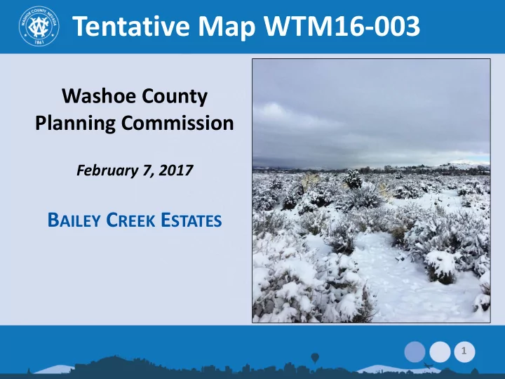

Tentative Map WTM16-003 Washoe County Planning Commission February 7, 2017 B AILEY C REEK E STATES 1
Vicinity Map Southeast Truckee Meadows Area Plan South of Geiger Grade at Shadow Hills Drive Medium Density Suburban (MDS) Previous 57-lot subdivision approved in 2004; expired 2010 2
Site Plan 3
Compatibility West: Cottonwood Creek Estates North: Shadow Hills & Sagewood Estates East: Individually developed properties ±½ ac. to ±3.75-ac. South: Comstock Estates 4
Compatibility Lot sizes comply with Area Plan requirements Single-story/multi- story requirements Other Area Plan policies to minimize potential impacts 5
Commenting Agencies Washoe County: – Planning & Development – Engineering & Capital Projects – Utility Services – Health District Washoe County School District Truckee Meadows Fire Protection District Truckee Meadows Water Authority NV Division of Environmental Protection NV Division of Water Resources Regional Transportation Commission 6
Schools Here to answer school questions: Mike Boster Washoe County School District Capacity of area schools: – Brown Elementary: 137% – Depoali Middle: 94% – Damonte Ranch High: 108% Development would generate: – 14 elementary school students – 3 middle school students – 7 high school students Students may be assigned to nearest school with capacity Brown Elementary will convert to multi-track year-round calendar for 2017-18 school year 7
Traffic Here to answer traffic questions: Dwayne Smith, County Engineering Primary access: Geiger Grade Gated emergency access off Moon Lane 56 PM peak hour trips; 42 AM peak hour trips – Under threshold to provide traffic study, but one was supplied as a courtesy – 533 ADT Deceleration lane required along southern portion of Geiger Grade 8
Water & Sewer Water Service: – Provided by Truckee Meadows Water Authority – Located within TMWA retail service area – Service from STMGID East system – TMWA: No impact to local domestic wells Sewer Service: – Provided by Washoe County Utility – Treatment at South Truckee Meadows Water Reclamation Facility 9
Grading and Drainage Here to answer drainage questions: Site is relatively level Dwayne Smith, County Engineering 50,000 c.y. cut and fill to balance on site 5 common areas proposed for drainage & detention Southern portion of site is Shaded X (500-year floodplain) Bailey Canyon Creek located on adjacent property to west (Cottonwood Creek Estates) (More on this later) 10
Public Notice Property owners of 204 parcels within 500 feet of property received notice 11
Citizen Advisory Board (CAB) CAB: January 25, 2017 Questions/concerns: – Wildlife in area – Drainage and flooding – Views & height of homes – Traffic – Construction noise – School capacity – Development schedule – Emergency access CAB recommended comments be forwarded Applicant response in report addendum 12
Public Comment Several letters received Online petition at change.org Common concerns similar to CAB meeting: – Stray horses in area – Water availability – Drainage/flooding – Traffic – Emergency access – Open Space – School capacity – View from existing homes – Noise/light 13
Most Commonly Raised Topics Horses in area – BLM indicates these are not wild mustangs under federal protection or jurisdiction – State estray regulations apply Considered stray or feral livestock Property of the State NRS deals mainly with collection, not protection – Regional Animal Services: No specific protections for estrays 14
Most Commonly Raised Topics Drainage/flooding in general area – Bailey Canyon Creek located on adjacent property to west (part of Cottonwood Creek Estates) – Southern portion of subject site is Shaded X (within 500-year floodplain) 15
16
Here to discuss drainage and flooding: Dwayne Smith Division Director, Engineering & Capital Projects 17
Recommend
More recommend