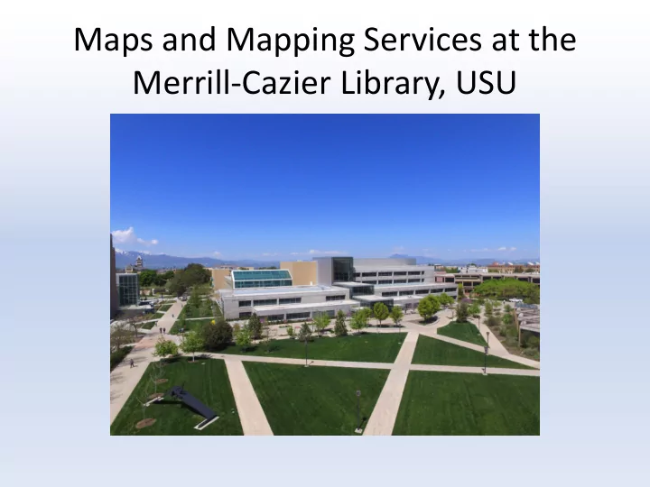

Maps and Mapping Services at the Merrill-Cazier Library, USU
Collections Government Documents Special Collections • Focus on Box Elder, Cache, • USGS Topo quad maps and Rich counties • Federal depository library • City maps program (FDLP) regional • Sanborn fire insurance level depository library maps • Atlases (major collection for • Tourist maps library found here, but • Railroad maps some in other places too) • Highway maps • Globes • National Forest maps • Travel File • USGS quads
Services • Patron-driven • Types of users that come in for maps: – Boy Scouts – maps badges, orienteering – Students who want to go hiking – Students doing research – Faculty and staff doing research – Hunters to locate hunting units – People looking up info for legal reasons e.g. right of way and roads • People want existing maps printed, maps created
Resources Used • Use different resources depending on the request • Maps A-Z and Social Explorer subscriptions • Oldmapsonline.org • Google Earth, Google Maps, Scribble Maps, EarthExplorer (USGS) • Rumsey Historical Maps in Google Earth gallery • ArcGIS (find .shp files with internet searches) • 3D printed maps(.stl files) • Data from the Utah Automated Geographic Reference Center (AGRC) https://gis.utah.gov/
Data from American Community Survey
Recommend
More recommend