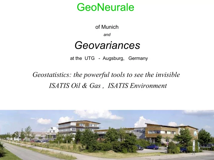

GeoNeurale of Munich and Geovariances at the UTG - Augsburg, Germany Geostatistics: the powerful tools to see the invisible ISATIS Oil & Gas , ISATIS Environment
UTG UMWELT TECHNOLOGISCHES GRÜNDERZENTRUM The first European Centre for Environmental Sciences Augsburg - Germany
Isatis Oil & Gas, Isatis Environment A Presentation of Geovariances a partner of GeoNeurale and Petrophysic-Consultants U-T-G Umwelt Technologisches Gründerzentrum Am Mittleren Moos 48 86167 Augsburg www.U-T-G.de www.GeoNeurale.com
In recent years, there has been a rapid development in geostatistics in the oil industry. The reasons for this success are to be found in the significant contributions made by geostatistics to the analysis of spatial data and, above all, an overwhelming need for data quality and risk assessment.
Beicip-Franlab, Combining the Use of Isatis and the RML By Dr J.M.Chautru, 3D reservoir modeling expert and senior geostatistician Beicip-Franlab (France), www.beicip.com In recent studies conducted in Algeria, Mexico, and Middle East, I have particularly appreciated the direct link between IFP group 3D Modeling package RML and ISATIS. It has significantly enhanced productivity by facilitating data transfer, ISATIS being now a natural extension of the RML. ISATIS has proven its efficiency and robustness when working with huge models. I often work with grids of several millions of cells, the biggest study dealing with seven stacked grids of about 30 millions of cells each. With such very big models, calculations are obviously time consuming, and the extensive use of customized journal files and batch procedures has allowed a significant gain in productivity Indeed, it was possible to automatize the calculation process , linking the work on all the grids in a unified journal file which was controlling background computations. The combined use of ISATIS and the RML is a strong benefit for Beicip-Franlab clients, as it allows consultants to get accurate models with a good level of productivity , even when models are big and complex.
Isatis for Environmental Issues Geostatistics is more and more integrated in environmental projects, whether it is for reliable mapping or risk analysis. Its added value lies in the use of auxiliary information for a better estimation of the phenomena you are interested in (air or soil pollution, soil properties, biomass resource, ...) and in specific tools for quantifying the risk of exceeding thresholds (pollution, population exposure, ...). •Fully integrate all qualitative and quantitative available data so that no information is either unused or lost.
GeoNeurale Am Nymphenbad 8 81245 Munich T +49 89 8969 1118 F +49 89 8969 1117 Info@GeoNeurale.com www.GeoNeurale.com
Recommend
More recommend