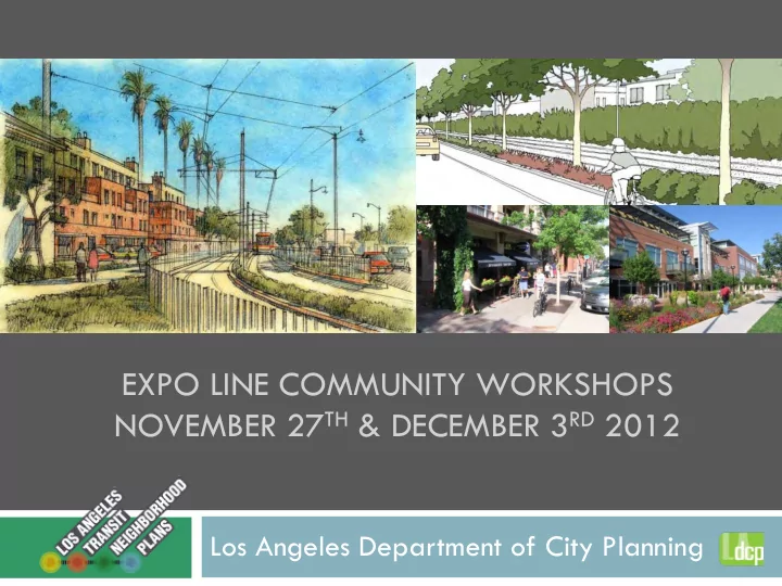

EXPO LINE COMMUNITY WORKSHOPS NOVEMBER 27 TH & DECEMBER 3 RD 2012 Los Angeles Department of City Planning
Agenda for Tonight Open House – 6:00 to 6:15pm Presentation and Questions – 6:15 to 6:50 Small Group Discussion #1 – 6:55 to 7:25 Small Group Discussion #2 – 7:30 to 8:00
About the Department of City Planning Our Mission: To create and implement plans, policies, and programs that realize a vision of Los Angeles as a collection of healthy and sustainable neighborhoods, each with a distinct sense of place, based on a foundation of mobility, economic vitality, and improved quality of life for all residents. Develop and adopt land use and zoning regulations for the City Create long-range land use and transportation plans Review certain development projects
Background Expo Line Light Rail Line Phase 2 opening in 2016 Culver City station already open (Phase 1) Public has made large investment in the construction of the Expo Line City wants to make sure that we make the best use of our investment Link between land use and Expo Phase 1 near USC transportation Success of transit line depends on complementary uses around stations
About the Project Funded by a grant from Metro Supports local efforts to enhance access to transit, reduce GHG emissions, and encourage infill development along transit corridors Transit Neighborhood Plans: Exposition Light Rail Line (“Expo Line”) – 5 stations Crenshaw/LAX Light Rail Line – 5 stations Include development, design, and streetscape regulations Project focuses on areas within ½-mile radius of the stations Roughly a 15 minute walk Project timeline: June 2012 to June 2014
Expo Line Transit Neighborhoods
Policy Framework General Plan Framework Housing and employment growth near transit Improve quality of public realm through improved urban design Preserve stable single-family Industrial Land Use Policy Published in 2008, confirmed City’s previous commitment to preserve industrially zoned land Detailed study of West LA areas Commercial is allowed in M zones West Los Angeles, Palms-Mar Vista, and West Adams Community Plan Areas Regulations must be consistent with Community Plans
Transit Neighborhood Objectives Attractive Functional Pleasant, Efficient pedestrian, attractive streets bike, vehicular High quality circulation urban design and Easy, safe station architecture access by all modes Successful Transit Neighborhood Vibrant Community places Active streets Appropriate uses and intensity
How do we support these objectives? Land use and zoning regulations Development regulations Building massing and design Site layout Urban design Transitions Parking districts and regulations Streetscape Plans Street configurations/dimensions
Project Team and Partners Department of City Planning is lead Department of Transportation and Department of Public Works will be close partners on public realm aspects of Plans Consultant support for environmental, market, transportation, and land use analysis Coordinating with Cities of Santa Monica, Culver City, and Inglewood
Project Timeline 2-year overall timeline Kicked-off June 2012 Existing stage: Research/field observations Initial meetings with Neighborhood Councils, City agencies, etc. Initial Community Workshops Adoption Process: DCP Staff recommendation City Planning Commission recommendation City Council decision
Expo Line Overview Westside is jobs rich Highest ridership projected for employees coming to Westside from other parts of City Previously a freight line Industrial zoning Development orientation not focused towards line Neighborhood character and assets vary from station to station Expo Bikeway parallels line Largely a Class I off-street bike path
Culver City Transit Neighborhood Half of station area is in Culver City Pop: 16,000; jobs 4,100 Venice Blvd is spine of station area Small industrially zoned parcels Class C office space on Venice Some multi- and single-family residential Station site being redeveloped for mixed-use Helms Bakery nearby 10 Freeway and Robertson off-ramp a physical barrier
Palms Transit Neighborhood Highest population of all station areas: 32,000 Largely multi-family residential Some commercial and a few industrially zoned parcels 7,500 jobs Motor Avenue and National Blvd is retail hub for neighborhood Vons Shopping Center Single-family north of 10 Freeway
Westwood Transit Neighborhood Largely single-family residential Small areas of multi-family Pico and Westwood Boulevards are the commercial heart of the neighborhood Pop: 22,000; 12,500 jobs Ridership projections are high due to link with UCLA and Century City Focus of planning effort will be a Streetscape Plan for Pico
Expo/Sepulveda Transit Neighborhood Strong employment center: 24,000 jobs Light manufacturing and commercial uses Retail along Pico Auto-oriented development Nearby multi- and single-family residential (Pop: 31,000) Mega-blocks 405 Freeway directly adjacent Lack of sidewalks in places Numerous billboards
Expo/Bundy Transit Neighborhood 17,000 jobs Strong media, entertainment and creative sector Office high-rises and large format retail along Olympic and Bundy Single-family directly to south Multi-family uses along periphery Mega-blocks Narrow sidewalks along Bundy Numerous billboards
Next Steps for Project Summarize community input Will be available on website Market analysis and other research Develop preliminary concepts Community meetings in Spring 2013 Environmental Impact Report Scoping meeting Visit us at www.latnp.org Community Workshops to discuss preliminary concepts
Small Group Discussions Please choose 2 stations that you’d like to discuss: Culver City Palms Expo/Westwood + Expo/Sepulveda (combined discussion) Expo/Bundy What are your ideas for the future? Each group will have a staff facilitator 25 minutes for discussion Please be courteous of others’ opinions Thank you for your participation!
Thank you Susan Robinson susan.robinson@lacity.org 213.978.1319 Patricia Diefenderfer patricia.diefenderfer@lacity.org 213.978.1170 Project Lead
Recommend
More recommend