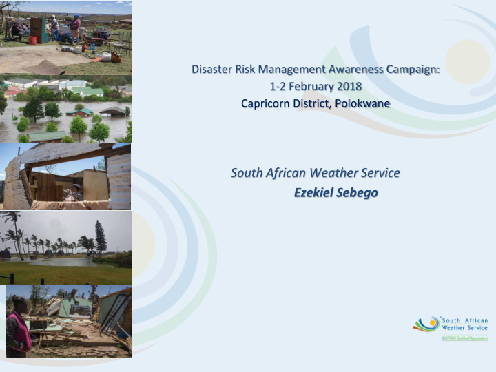


Disaster Risk Management Awareness Campaign: 1-2 February 2018 Capricorn District, Polokwane South African Weather Service Ezekiel Sebego
Topics to be covered • SAWS services to DM • Limpopo weather hazards and records • Future Climate projections • Severe Weather Warning System • How to access SAWS information
SAWS Services available to DM • Climate Information (historical data and statistics) • Analysis of Climate trends • Short term forecasts, warnings and now- casts (very short range forecasts) • Medium term weather forecasts and warnings • Seasonal forecasts • Future Climate Scenarios Templ ref: PPT-ISO-colour.001 Doc Ref no:
Limpopo Weather Hazards and seasonality • Main weather hazards in the district (and province) are heavy rains, mostly summer, and severe thunderstorms (hail, downpours and damaging wind), mostly Spring and Summer • Drought (any time of year) • Extreme temperatures (mostly summer)
Limpopo Climate Rainfall records POLOKWANE LIMPOPO Record highest: 1996 Record lowest: 2002, Temperature Extremes for Temp Date followed closely by 2015 Polokwane Lowest Minimum Temperature -3.2 °C 18/07/1954 Lowest Maximum Temperature 8.4 °C 13/06/2016 Highest Minimum Temperature 23.4 °C 09/12/2003 Highest Maximum Temperature 38.4 °C 26/02/1992
Future Climate projections • Seasonal rainfall onset is projected to delay over South Africa, major shift is simulated over Limpopo and southern Cape region. Expected to become worse towards end of century. Will impact of the length of the growing season. • Rainfall withdrawal is also expected to be delayed in Limpopo, but with a less magnitude compared to the onset. • Yields may suffer significantly with delayed rainfall onset.
Current Severe Weather Warning System Special Weather No Alert Weather Weather Watch Based on Warning Advisory weather Be Aware! Be Prepared! Take Action! threshold No Early warning Weather Hazard is already hazardous of potential conditions are occurring or is weather hazardous likely to become imminent expected weather hazardous 2 to 6 days 1 to 3 days Next 24 hours Intense large Heavy rain Heavy rain weather Disruptive snow Disruptive snow systems Gales Gales Extreme heat High waves High waves Heat Waves Severe T/S Severe T/S Strong winds Flooding Flooding High Veldfire Veldfire conditions discomfort conditions
Future Severe Weather Warning System: Impact-based Moving To: from: What the weather will do : What the weather will be : (Impact Warnings) (Meteorological thresholds) - Roads flooded - 50mm in 24 hours -tress blown over - 35 knot winds - Communities cut off
Access to weather forecasts and Warnings • Forecasts are available at www.wweathersa.co.za • On request at National Forecasting Centre (DM only) • Cell phone App to be launched 23 March 2018 (World Meteorological Day) • Media • Warnings directly to DM’s on sms, email and CAP. DM only
END
Additional Notes
Recommend
More recommend