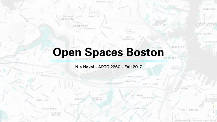

Open Spaces Boston Nia Naval — ARTG 2260 — Fall 2017
Open Spaces Boston An interactive map and guide of the various open spaces—parks, fjelds, reservations, gardens, plazas, and even cemeteries—in Boston, MA. The website features fjlters for the different types of spaces a Bostonian may be looking for, as well as details on any space that is clicked. Visit Open Spaces Boston here!
Inspiration • Interest in managing and displaying large amount of data • Inspiration from mta.me, a display of subway data in New York City • Wondered what kinds of data there might be on Boston • Discovered the data set for open spaces of conservation and recreation interest, which also included geoJSON data
Motivation • Awareness of all these parks, fjelds, reservations, etc., that may otherwise go unnoticed by Bostonians • Inspiring Bostonians to utilize these wonderful open spaces, and have new experiences
Process • Brainstorm desired features • Create wireframes • Learn Google Maps Javascript API • Code!
Novelty • Data set — geoJSON polygons — features • Filtering
Challenges • Learning Google Maps API, and applying that to the skills I had at the time • JSON • Data Visualization in general
Next Steps • Landing page with instructions • Locati on tracking • View list of filtered results • Directions
Thank You Nia Naval — ARTG 2260 — Fall 2017
Recommend
More recommend