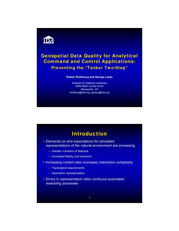

Geospatial Data Quality for Analytical Command and Control Applications: Preventing the “Tanker Tw o-Step” Robert Richbourg and George Lukes Institute for Defense Analyses 4850 Mark Center Drive Alexandria, VA rrichbou@ida.org, glukes@ida.org Introduction • Demands on and expectations for simulated representations of the natural environment are increasing – Greater numbers of features – Increased fidelity and precision • Increasing content also increases interaction complexity – Topological requirements – Geometric representation • Errors in representation often confound automated reasoning processes 2
Geometric Representation Errors in capturing the coordinates that define a feature often impact simulation entity behavior Area of Interest 2.0 km Roads – Black Rivers – Blue Vegetation – Green 2.4 km “Kink” in a Road Line Feature These errors are introduced by operator mistakes during the manual data capture process 2.2 meter Kink (off other road segments by 0.13 and 0.4 meters) 3.7 m Roads – Black Vegetation – Green 4.2 m
JSAF Tank Entity Behavior JSAF operator commands a tank entity to follow the road feature across the “Kink” construction … Topology Topology requirements define the expectations for how geospatial features should be connected – Breaks in road connectivity impact route planners – Surface polygon adjacency failures impact mobility 6
Topology Along a Road Netw ork Area of Interest 4.5 km Roads – Black Rivers – Blue Vegetation – Green 5.0 km Topology Along a Road Netw ork 1 meter Gap between Road feature vertices 35 m Roads – Black Rivers – Blue Vegetation – Green 40 m
JSAF Routing Solution JSAF on-road route from here … to here … Joint Semi-Automated Forces (JSAF) routing solution for on-road travel (shown as dark black line) JSAF takes a scenic tour that avoids the gap Situation Is Improving • Multinational Geospatial Co-Production Program (MGCP) – MGCP includes 28 member nations committed to mapping much of the world landmass at scales of 1:50,000 or 1:100,000 – Member nations contribute and withdraw data from the International Geospatial Warehouse • Quality Assurance is an integral component of the MGCP program – “All Road Transportation Feature segments that are connected in reality shall be geometrically connected in the data.” – “Line features must not have kinks or kickbacks (collapsed loops)”
The Nature of Connections • Interpreting the word “connected” – alternate views – Features appear connected in printed products or graphical display systems – Connected features share common vertex coordinates • Precision of representation • Poor network connectivity is one example of the impact • Coordinate transformation can amplify the associated problems – Network gaps are magnified – Features move A Popular (but flaw ed) Remediation: Snap Coordinates to a Predefined Grid Snapping to the grid makes the Decimeter Grid (in red) and two gap much larger disconnected Road features (in black) before snapping 12
Resolving the “Almost Equal” Coordinate Problem • The popular strategy of snapping to a predefined grid is a flawed approach to correcting the problem – Can work in some cases – Only guarantee is minimization of maximum gap errors • Decreasing the grid spacing does not changes things, except to present more opportunities for snapping apart • Only solution we have found is to snap ‘nearby’ coordinates together – The problem is defining ‘nearby’ A Geometric Representation Problem: Line Kink Line feature Kinks can result from inadvertently adding a point during manual data capture Vertex 21 Distance from Vertex 19 vertex 19 to vertex 20 in the Road feature is ~ 25 meters Vertex 20 Vertex 18 Z-Shaped Kink in a Road feature
Detecting Line Kink Errors True False Threshold Cumulative Thresholds Positives (TP) Positives (FP) TP Rate TP Rate 0° < α ≤ 5° 701 236 74.8% 74.8% 5° < α ≤ 10° 676 1033 39.6% 52.0% 10° < α ≤ 15° 628 1929 24.6% 38.5% 15° < α ≤ 20° 744 3018 19.8% 30.7% • Angle-only line Kink detector applied to 14 data sets – 1,399,785 line features – 51,625,949 line feature vertices • Manual evaluation of the 8,965 reports of potential errors results in 2,749 TP and 6,216 FP – Not Good Enough! These Geometric Problems Come in Multiple Varieties – Some are not Errors Shallow angle (Kink) where two Shallow angle (Kink) where two Road features connect Rail features connect Error very unlikely Error highly probable
Observations That Help to Develop New Detection Strategies • The angle-only line Kink detector is very good at detecting problems, but very poor at avoiding false positive reports – False positives increase very quickly as the measured angle increases • Z-shaped Kinks feature two consecutive shallow angles • Most false positives occur at the vertex where different features connect to each other – shallow angles rarely occur interior to a single feature • True positives at a location where two features connect are often preceded by a ‘heading change’ along one of the features New (Combined) Strategy Performance True False TP Report Procedure Thresholds Positives (TP) Positives (FP) Rate Angle-only 0° < α ≤ 2° 350 18 95.1% Z-Shaped 20° < α ≤ 45° 293 174 62.7% Single Feature 2° < α ≤ 15° 701 320 68.7% Heading Change 2° < α ≤ 20° 667 249 72.8% Cumulative Performance – 14 Data Sets Procedure Best TP Rate Worst TP Rate Angle-only 100% 80% Z-Shaped 100% 12% Single Feature 100% 26% Heading Change 96% 50% Performance by Individual Data Set
Summary • The emergence of detailed quality specifications is unprecedented and will benefit all analytical users of geospatial data • Imprecision in the specification is problematic • The requirement to critically examine both specifications and data remains • Structured experimentation can be applied to refine specifications • There are solid grounds for optimism …
Recommend
More recommend