GOES-R Rapid Refresh Imagery Capabilities for Nowcasting High Impact - PowerPoint PPT Presentation
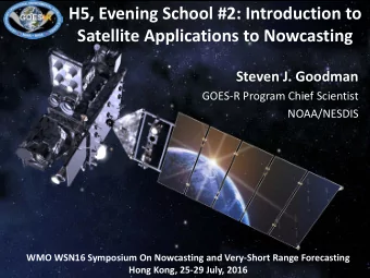
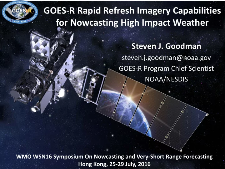
GOES-R Rapid Refresh Imagery Capabilities for Nowcasting High Impact Weather Steven J. Goodman steven.j.goodman@noaa.gov GOES-R Program Chief Scientist NOAA/NESDIS WMO WSN16 Symposium On Nowcasting and Very-Short Range Forecasting 1 Hong
GOES-R Rapid Refresh Imagery Capabilities for Nowcasting High Impact Weather Steven J. Goodman steven.j.goodman@noaa.gov GOES-R Program Chief Scientist NOAA/NESDIS WMO WSN16 Symposium On Nowcasting and Very-Short Range Forecasting 1 Hong Kong, 25-29 July, 2016
Outline New GOES-R Capabilities Nowcasting Applications Forecaster Feedback Summary
Three times greater spectral information Four times greater spatial resolution Five times faster coverage of high impact weather phenomena Real-time mapping of total lightning activity Real-time monitoring of space weather … Resulting in more timely, accurate, and actionable information leading to … Increased thunderstorm and tornado warning lead time Improved hurricane track and intensity forecasts More accurate detection of wildfires and volcanic eruptions Improved monitoring of solar flares and coronal mass ejections Improved geomagnetic storm forecasting
The Global Satellite Observing System 4
GOES-R ABI Rapid-Scan Service #(Himawari 8/9, GEO-KOMPSAT-2A AMI, MTG FCI, CMA AGRI) Offer New GEO Imager Capabilities ABI Mode 4 - provides 5 min Full Disk ABI Mode 3 - provides 15 min Full Disk, 5 min CONUS, 30 sec Meso # (H8/9, AMI, FCI provide 10 min Full Disk, 2.5 min mesoscale) 5 5
TEMPORAL ABI vs GOES NOP: 5X Faster Coverage Full Disk CONUS MESO Forecasters can monitor the interactions between air masses, outflow boundaries and storms leading to increased situational awareness and - Scan Mode 4- Full disk every 5 minutes confidence - Scan Mode 3- Full disk images every 15 minutes + 5 min CONUS images + 30 sec mesoscale. 6
GOES-14, 1 min rapid-scan SRSOR GOES-14 SRSOR Vis and IR incorporated into SPC operational NAWIPS 2016 SRSOR 1-25 February 18 April – 15 May 9 – 25 August “The 1-min data gives a more continuous depiction of how meteorological features are evolving, versus the ‘snapshot’ approach of coarser temporal resolution T. Schmit, D. Lindsey images.”
Forecaster Use of Super Rapid Scan Imagery for Situational Awareness “The 1 min satellite data was vital to my knowledge of the environment and subsequent warnings” (SPC Forecaster) 93% of days in 2015, forecasters found that the 1-min data provided them with significant information not captured in the routine satellite imagery. “I would love to have a Super Rapid Scan Satellite loop with reflectivity and lightning as a way to stay grounded with what is happening in real time during severe weather operations” (SPC Forecaster) 8 Storm Prediction Center forecaster evaluations at the NOAA Hazardous Weather Testbed
GOES-R: Helps provide advanced weather Information to enable collaborative planning and efficient utilization of airspace routes through entire trajectory Cloud Cloud Classification, Cloud Fog and Low Classification Jet Stream, Classification Stratus Convective Volcanic Ash, Lightning Nowcasting Turbulence, Initiation Convective Convective Cloud & Moisture Icing, Winds, Initiation Initiation Imagery Convective Initiation Low Ceiling & Cloud-Top Cooling Low Ceiling & Mountain Waves Visibility NWP Forecasts Visibility Imagery Overshooting Top Solar Storms Overshooting Top Cloud Top Information Icing Precipitation SO2 Detection Pre-flight Post-flight Precipitation Snow Radiances Snow Post-flight observed weather product archives Initial Slide from T. Carty
SRSOR 1-minute imagery and turbulence • GOES-E visible imagery at RSO latency (left) It’s all in the detail… this particular day • 1-minute imagery from saw widespread the GOES-14 SRSOR turbulence across experiment (below) the central part of the country GOES-E RSO imagery over IL and IN showed some indication of multiple cloud layers One minute imagery clearly showed a lower layer of gravity wave type clouds causing many turbulence reports AWT Summer Experiment 2015 - Satellite 10 Proving Ground
Lightning Jumps and Severe Storms Improved forecaster situational awareness and confidence results in more accurate severe storm warnings (i.e., improved lead times and reduced false alarms) Current national average for tornado warning lead-time is ~13 minutes Total lightning (Upper) from the North Alabama Lightning flash rate increase can be a Lightning Mapping Array (LMA) coincident with predictor of tornado formation NEXRAD radar-derived storm relative velocity (Lower) at 1236 (Left) and 1246 (Right) UTC on 6 May 2003. Image courtesy of Geoffrey Stano and SPoRT. 11
GOES-14 Super Rapid Scan 1-min Imagery to Prepare for GOES-R Convective tendency – satellite, radar, lightning GOES-14 IR brightness temperature, GOES-R overshooting cloud top (OT) detection algorithm output, cloud-top height derived from the length of shadow produced by OT penetration above the surrounding anvil, WSR-88D derived vertically-integrated liquid (VIL) and precipitation echo top height, and total lightning from the Northern Alabama Lightning Mapping Array (NALMA) and Earth Networks Total Lightning Network (ENTLN). 12
Observed GOES IR features • Enhanced-V Cold Area (CA) • • Close-in Warm Area (CWA) • Warm-cold couplet • Distant Warm Area (DWA) McCann (1983): Storms with enhanced-V have about 70% probability of producing severe weather. Median lead time from the onset of the V to the first severe weather is about 30 minutes. Adler et al. (1985): 75% of storms with the-V feature have severe weather, but 45% of severe storms don’t have this feature
Combined VIS-IR Combined visible and infrared sandwich product from at 1300 UTC 26 Aug 2013 (animation available at http://dx.doi.org/10.1175/BAMS-D-13- 00210.2). This product shows both the visible imagery as well as the infrared window band. The image is centered on the state of Wisconsin. 14
Use of higher temporal 1- Courtesy Jason Apke min resolution allows for mAMV collection in highly transient target regions Kinematics
Courtesy Jason Apke Now vorticity, same contouring scheme, cyclonic is red, anticyclonic is blue. We call this signature a Dynamics Cloud Top Vorticity “Couplet” (Apke et al. 2015, accepted )
NWS Vision to Integrate ABI and GLM Products with Other Data and Models A Potential Operational Example: Convective Initiation/Severe Wx How can we integrate the information in future tools? Why NWS needs this? Next Generation Warning System CI Situational Awareness Warning confidence Decision Support (venues) Over- shooting tops Situational Awareness: User comment: ‘Cloud Top Cooling product is an excellent source of Lightning enhancing the situational awareness for Jumps future convective initiation, particularly in rapid scan mode’. AWC Testbed forecaster (June 2012) 17 17 17
GOES-R Fusion of 1-min Imagery With Total Lightning Derecho/Lightning/Tornado (June 13, 2013) Courtesy of Scott 18 18 Rudlosky, CICS-MD 18
June 12-13, 2013 “Derechoes” GOES-14 SRSOR 5-min Visible overlaid with (Vaisala) GLD-360 Lightning Density
June 13, 2013 “Derecho” Ocean Perspective
Forecaster Feedback SRSOR visible imagery 11 May 2014 utilized at SPC outlook desk prior to issuing 2000 UTC Day 1 convective outlook update GOES-14 SRSOR (~1-min): 2316 – 0055 UTC From Convective Outlook: “THE LATEST 1 [Min] VISIBLE SATELLITE IMAGERY SUGGESTS STORM INITIATION IS TAKING PLACE NEAR THE SFC TRIPLE POINT IN WEBSTER COUNTY NEB.” “The greatest advantage to the 1-minute imagery is in detecting deep, moist convective initiation, with 15-30 minutes of lead-time advantage compared to current GOES.” “Post-storm initiation, the high-resolution data allowed for careful analysis of overshooting and collapsing thunderstorm tops, the character of the storm anvils (i.e. health of the storm) and the identification of convectively generated outflows.”
Proving Ground Blogs Demonstrations and Forecaster Feedback http://cimss.ssec.wisc.edu/goes/bl og/ http://rammb.cira.colostate.edu/r esearch/goes- r/proving_ground/blog/ https://satelliteliaisonblog.wordpr ess.com/ http://fusedfog.ssec.wisc.edu/ http://goesrawt.blogspot.com/ http://goesrhwt.blogspot.com/ https://nasasport.wordpress.com/ 22
Summary • GOES-R Ushers in a New Era for Satellites in Nowcasting • Emphasizes Data Fusion- satellite+radar+lightning+ NWP • November 4, 2016, 5:40pm ET • Launching from: Cape Canaveral Air Force Station, Florida 23
Thank You! For more info, visit: www.goes-r.gov Connect with us: www.facebook.com/GOESRsatellite www.youtube.com/user/NOAASatellites twitter.com/NOAASatellites www.flickr.com/photos/noaasatellites The views, opinions, and findings contained in this presentation are those of the authors and should not be construed 24 as an official National Oceanic and Atmospheric Administration or U.S. Government position, policy, or decision.
Recommend
More recommend
Explore More Topics
Stay informed with curated content and fresh updates.
