
Background • September 12, 2013 – 100 to 500 Year Flood Event • 18,000 cfs above Left Hand Creek • 27,000 cfs below confluence with Left Hand Creek
Background • Significant damage to public and private property and infrastructure
Background • Damage to City’s St. Vrain Greenway
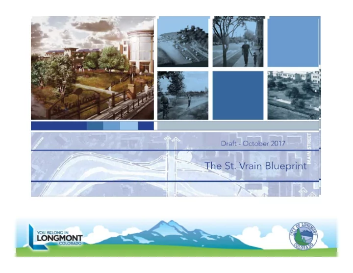
Background • Prior to 2013 Flood – Updated St. Vrain Floodplain – Anderson Study – Looked at options to improve channel to carry 100 year flows – Enhance corridor (recreation/aesthetics) and development/redevelopment options – St. Vrain Blueprint
St. Vrain Blueprint Study Area Downtown 3rd Avenue Hover Road Martin Street Main Street Boston Avenue Nelson Road Ken Pratt Boulevard St. Vrain Blueprint Study Area
St. Vrain Blueprint Goals 1. Significantly reduce property, infrastructure, and life safety hazards due to 100‐year flood events. 2. Restore and enhance the St. Vrain Greenway to natural conditions and improve user amenities and experience within the greenway environment. 3. Leverage safety improvements and a beautiful greenway to encourage quality investment and economic development on properties in the St. Vrain Blueprint Plan Area.
Regulatory, Existing Conditions, Post Project
Work Predicated on and Coordinated with Existing Plans • 2001 The St. Vrain Greenway Master Plan East Corridor Update • 2002 Open Space and Trails Master Plan (volume II) • 2005 The Wildlife Management Plan • 2006 Southeast Longmont Urban Renewal Plan • 2006 Focus on Longmont Strategic Plan
…Existing Plans continued • 2010 St. Vrain Greenway Riparian Corridor Protection Plan • 2012 The 1st & Main Station Transit & Revitalization Plan • 2014 Parks, Recreation & Trails Master Plan • 2014 Dickens Farm Park Master Plan (August draft)
…Existing Plans continued • 2014 Saint Vrain Creek through Longmont: 100‐Year Analysis and Conceptual Design • 2014 St. Vrain Creek Watershed Master Plan • Longmont Land Development Code • 2016 Envision Longmont • Longmont Sustainability Plan
Stakeholder and Community Input • Property owner meetings • Booth tent at Rhythm on the River and community downtown events • Public charrette, citizen meetings • Open houses
The Evolving Blueprint Scope • Originally commissioned to be a redevelopment study • Study commenced in June 2013, flood occurred in September 2013, • Scope of study changed to recovery and resiliency
Alternative Scenarios—Greenway Corridor & Focus Areas
…Greenway Alternative Scenarios continued HOVER ROAD
…Greenway Alternative Scenarios continued
Izaak Walton Section View
…Greenway Alternative Scenarios continued
South of Boston Court View
Focus Area: Main Street to BNSF Bridge
St Vrain Blueprint and Resilient St Vrain Working in Tandem • Concepts of natural stream design and environmentally friendly natural stream riparian corridor communicated to RSVP. • Vision of creek greenway restoration being implemented by RSVP
Example of Channel Cross Section
Example of Channel Cross Section
Example of Channel Cross Section
Example of Channel Cross Section
Design Themed Infrastructure • Use of sandstone as a locally referenced resource, • Acknowledge previous bridge designs on KPB, • Main Street and Sunset Bridges • Art on Main Street bridge part of greenway vision
Bridges & Materials
Bridges & Materials
Wildlife Considerations • Public input on greenway character was natural conditions native to Colorado high plains riparian system. • Goal to restore flood damaged greenway to wildlife habitat areas, • Design of RSVP has wildlife corridor on south sided of creek corridor.
Wildlife Considerations • Existing 150’ wildlife setback applies over existing developed properties, • SVBP recommends leaving 150’ setback in place until a post project condition better defines what the creek corridor will look like, • Wildlife management plan update can evaluate.
Redevelopment • SVBP plan includes imagery of potential redevelopment vision, • Redevelopment will result in positive economic impact, • Redevelopment/reinvestment will occur over time, not immediately • Reflected in Envison Longmont and compatible with 1 st and Main transit area
Alternative Scenarios—Concept Images Reserve slides for 3D images and photo simulations of concepts
Land Use Concepts: Boston/Bowen
Land Use Concepts: Greenway Neighborhood
Land Use Concepts: Boston Avenue BEFORE AFTER
St. Vrain Blueprint LAND USE CONCEPTS: BOSTON / BOWEN NEIGHBORHOOD
St. Vrain Blueprint LAND USE CONCEPTS: FIRST & MAIN NEIGHBORHOOD
Resiliency • SVBP is fundamentally about resiliency • SVBP plan reviewed using the Sustainability Evaluation System – some insights gained • Use of materials that are manufactured with minimal energy, carbon, and water use • Use of materials to reduce energy, carbon, and water use in application & are weather resistant
Resiliency • Use of recycled materials • Reuse of existing structures and materials to reduce demolition waste • Use of locally sourced materials to reduce transportation needs and related carbon emissions • Use of building materials that can be recycled or reused at the end of their lifespans
Resiliency • Use of materials that are responsibly harvested or extracted • Avoiding use of toxic materials • Design of site to maximize solar access • Optimization and adaption of existing infrastructure • Use of natural water quality systems on site.
Questions • Council direction
Recommend
More recommend