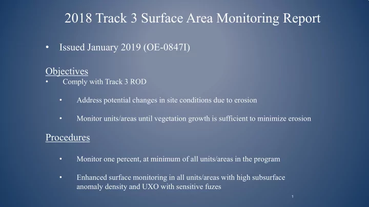

2018 Track 3 Surface Area Monitoring Report • Issued January 2019 (OE-0847I) Objectives • Comply with Track 3 ROD • Address potential changes in site conditions due to erosion • Monitor units/areas until vegetation growth is sufficient to minimize erosion Procedures • Monitor one percent, at minimum of all units/areas in the program • Enhanced surface monitoring in all units/areas with high subsurface anomaly density and UXO with sensitive fuzes 1
V U 183 CITY OF MARINA SALINAS U V Monterey Bay 68 Former Fort Ord MRS Ranges V U 43-48 South 68 32 18 34 WGBA CITY OF 22 21 SEASIDE 28 WGBA 19 14 WGBA 15 WGBA 14A HA34 Impact 12 CITY OF Area V U 3 10 11 MONTEREY MRA 218 25 2 U V 23 7 68 9 V U 5A 2018 Surface Monitoring Unit 1 1 33 4 " Units Previously Monitored ! O 6 Eucalyptus Fire Area Previously Monitored V U Impact Area MRA Boundary 68 1.5 0 1.5 Former Fort Ord Boundary Miles Figure 1 Munitions and Explosives of Concern 2018 Track 3 Surface Area Monitoring Reports Regional Location Map Former Fort Ord, California Annual Site Surface Monitoring G:\ArcGIS\USACE\Fort_Ord\PROJECTS\Surface_Monitoring\2018_Report\Map_docs\Fig1_Overview.mxd 12/11/2018 [14:42 PM] kcholak, Gilbane
Surface Monitoring Program Summary 2018 Additions • Unit 25 • Unit 28 2019 Additions • None Recommended continue monitoring in all units/areas except Units 6 and 33 2019 Surface Monitoring scheduled for Spring 2
Recommend
More recommend