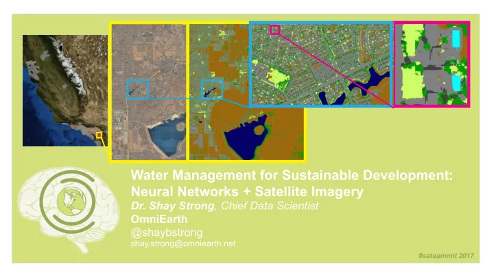

Water Management for Sustainable Development: Neural Networks + Satellite Imagery Dr. Shay Strong , Chief Data Scientist OmniEarth @shaybstrong shay.strong@omniearth.net #satsummit 2017
OmniEarth works with water municipalities to conserve water & reduce associated costs Governer mandated restrictions in CA Parcel-Level evaluation High accuracy needed for identifying overuse & guiding management Multispectral imagery + LiDAR + SAR + Parcel attributes Robust classification: Neural Networks Largest areas of water use (& potential savings) = outdoor consumption > 1/2 home’s water use 1 sq ft irrigated lawn + pool = 40 gallons/day in CA AWS cloud infrastructure facilities 40x efficiency > 120 Terabytes imagery to physically verify each parcel in CA multi-spectral imagery: physically verifiable Sustainable Development Goals: Water Conservation net training + classification caffe (evaluated accuracy e.g. IBM Watson, TensorFlow, Torch) forecasting/ prescriptive solutions based on urban/suburban growth change detection/monitoring evaluate impact of populations’ needs multiple seasons socio-econimc responses climate broad region Considerations: prediction Regionally-specific classifications and use application statewide & Cultural needs/restrictions nationwide Political/legislative requirements Livestock Water Rights #satsummit 2017
End User UI/UX Imagery Providers API Parcels AWS Apache Open Source Training Data BVLC Caffe Framework QA/QC GDAL+python [Accuracy Checks] AWS Data Persistance S3, DB #satsummit 2017
#satsummit 2017
Recommend
More recommend