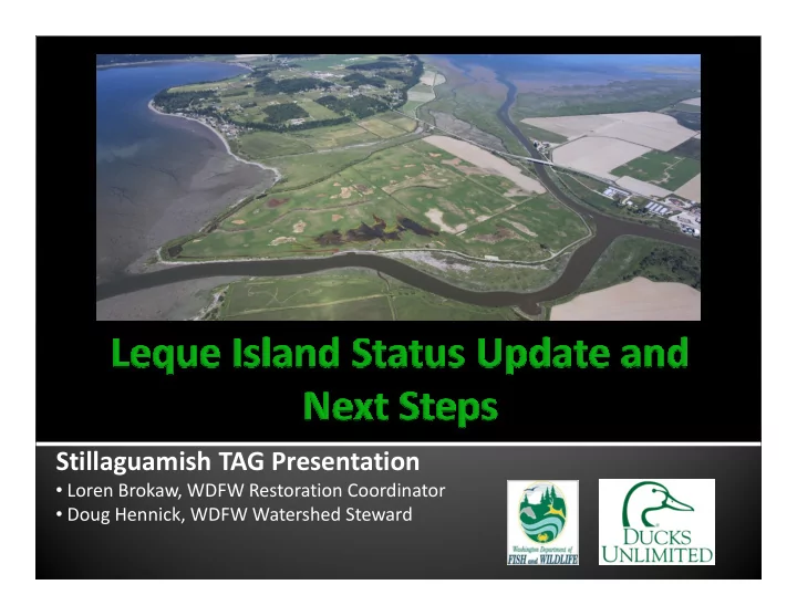

Stillaguamish TAG Presentation • Loren Brokaw, WDFW Restoration Coordinator • Doug Hennick, WDFW Watershed Steward
� I. Project Background / Summary � II. Groundwater Report � III. Moving Forward
• 2004 - SRFB funded DU (project proponent) to design, permit, and construction of levee setback project. ($569k) • 2007 - SRFB cost increase to account for construction 2007 - SRFB cost increase to account for construction of final design. ($98k) • Proposed Construction to commence 2008. • Restore approximately 115 acres of estuarine intertidal vegetated wetlands, 72 acres of freshwater wetland habitat on the Leque Island Wildlife Area.
• Project Delays and Amendments: • 2008 – DU submits streamlined HPA • 2009 Farm Bureau contests use of streamlined 2009 Farm Bureau contests use of streamlined process • 2010 DU submits full permit package and fees to Sno. Co. • Groundwater contamination concerns led to EPA requiring approved groundwater study
2011 SRFB amends DU award to include 12 • month EPA approved study completed by PGG Nov 2011 – Sept 2012: Study implemented, Nov 2011 – Sept 2012: Study implemented, • data collected Final report: Submitted to EPA and technical • review team in December 2012
• EPA is reviewing Groundwater Report to determine if it satisfies requirements • Groundwater Report disseminated to • Groundwater Report disseminated to stakeholder group in December • Determination expected by January 31
• Study, modeling, and report completed by Pacific Groundwater Group • Probes collected data in 8 drilled wells and 3 • Probes collected data in 8 drilled wells and 3 existing private wells in study area between Leque and Camano. • Monitored groundwater flow direction and water quality
• Groundwater flow currently is from Camano towards Leque. • Groundwater and surface water in study area • Groundwater and surface water in study area are currently brackish -- similar salinity range to Port Susan and Skagit Bays. • Seawater recharge during inundation • Evapotranspiration of shallow groundwater • Deposition of salt spray
• Post-inundation salinity will be the same. • With inundation, two changes: • Increased recharge of groundwater with • Increased recharge of groundwater with average 5 hours inundation/day • Increased surface water drainage efficiency as channels are developed. • Big Question: Will those two factors cause reversal of groundwater flow direction?
• Ran 2-D model to determine potential rise in groundwater level • Level could rise as much as 1 foot • Ran 3-D model to determine if 1 foot rise could cause reversal of flow direction • 4 iterations run, all showed no potential for reversal.
New Developments present opportunity to address Constraints: Constraint #1: Concern over impacting sole source aquifer New Development: Groundwater Study Constraint #2: Concern over conversion of farmland New Development: Draft Sustainable Lands Strategy
Constraint #3: Need to build setback dike to protect SR532 New Development: WSDOT on schedule to raise and widen highway this Summer.
Constraint #4: Opposition from stakeholders results in delays. New Development: WDFW is beginning round of initial outreach in February, prior to drafting design alternatives. Constraint #5: Existing funding expires this Spring. New Development: Drafting of alternatives, outreach, selection of preferred alternative, and 60% design of preferred alternative included in ESRP proposal.
Long Term Timeline
QUESTIONS ?
Recommend
More recommend