
Can Satellite Image Analysis Replace Manual Digitization? GeoDATA London 30 th Nov 2017 LUCY KENNEDY – Spottitt CEO Lucy.Kennedy@spottitt.com +44 772 594 4643
Agenda • Why develop processes and services based on satellite imagery? • Traditional barriers to using satellite imagery and what is changing. • What is possible in-terms of creating GIS data from satellite imagery?
Context For every 100MWatt of installed onshore wind power somebody has spent over 500,000 Euro and 6 months of manual effort just searching for sites with suitable geography using out of data maps and information. Could automation and satellite imagery be used to reduce cost and time to market of onshore wind developments? Thus in 2014 the concept of Automated and On Demand remote sensing analysis was born and 3 Spottitt co-founders started their journey. Thanks to European Space Agency co-funding July 2017 pre-commercial trails of the Spottitt service started with 8 customers.
Why consider satellite imagery? Lots has changed and is going to keep changing: Satellites becoming smaller and therefore cheaper to build and launch Single satellite to constellations To constellations Global coverage with high revisit frequency (Video) From single satellites Competition driving pricing and product spec. Open source and inter commercial providers Sputnik >1000 satellites >2000 satellites >3000 satellites launched 4 Oct 1957
Why consider satellite imagery? Global coverage and resolution of data Earth-i IKONOS 3*per day revisit 3-4 days <1 meter 4 meters Colour video 1999 2019 SPOT 1 revisit 1-4 days Geoeye-1 20 meters 1.5 meters 1986 2008 Landsat 1&2 Sentinel 2 Landsat 8 18 days 5-8 days 15 days 80 meters 10 meters 30 meters 1972 2015 2013
Why consider satellite imagery? Similar picture for radar (SAR) satellite imagery
Traditional barriers? The buying process is complex and often very manual • Online portals for search/purchase/download of imagery • Growing number of image providers have APIs so you can seamlessly search, purchase and download imagery straight into your systems • Still only a few services where you can search, purchase and download imagery from multiple commercial and non-commercial providers.
Traditional barriers? Commercial license agreements Competition and technical advancements forcing change • Relaxing of many areas • Creative business models
Traditional barriers? Just an expensive picture? • Cloud computing • Advanced image analysis techniques • Automation
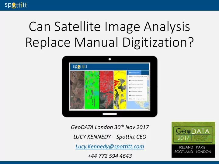
Spottitt Service Fully automated, cloud based, remote sensing analysis service, which allows customers to: • select their desired automated analysis – ranging from Land Cover Analysis through to Turbine Positioning analysis • define their area of interest any where in the world • purchase the most recent satellite imagery and data from multiple sources • input their analysis parameters of choice e.g. minimum distance from buildings, roads etc. and get results in a matter of minutes/hours. “Quick, efficient, affordable. No earth observation knowledge or software required”.
Satellite versus aerial photography ? 10s of centimetres Centimetres 4-13 spectral bands Typically 4 bands Pre-processing required Analysis ready £0 – £14 per km 2 (40cm achieve imagery) £0 - £35 per km 2 (12.5 cm achieve imagery) Global coverage Regional/national coverage High revisit frequency = low prob. tasking Low revisit frequency = high prob. tasking required required
What is possible? Land Cover Analysis (Spottitt) Complex rule based algorithms tailored to renewables sector which provide 6m resolution LCA’s anywhere in the world
What is possible? Feature match – Wind turbines, storage tanks, (GeoVisual Search by Descartes Labs) AI used to find similar features all across America
What is possible? Feature extraction - Building recognition analysis(Spottitt) Neural network trained on broad catalogue of global building types
What is possible? Forestry and agricultural insights (Global Surface Intelligence) Machine learning combined with high performance processing
What is possible? Site selection (Spottitt) Multi input analysis of exclusion zones and buffers to determine suitable sites.
What is possible? Monitoring and change detection - Deforestation Time-lapse based on satellite imagery
What is possible? Monitoring and change detection – Water depth (Proteus Geo) Satellite derived bathymetry
To answer the question? Can Satellite Image Analysis Replace Manual Digitization? But………….it has an important role to play in the generation of valuable GIS products and services.
Spottitt – Engage • Follow our new LinkedIN page • Goto https://geoportal.spottitt.com and sign in as a demo user to have a play. • Come and say hello at stand 36 • Spottitt automation of complex EO and GIS analyses has numerous applications. Get in touch. • Need automation and/or online delivery of a service you have developed: Maybe we can support you?
Spottitt - Contact Lucy Kennedy Lucy.Kennedy@spottitt.com +44 7725 944 643 Spottitt Ltd. Electron Building Fermi Avenue Harwell OX11 0QR UK info@spottitt.com www.spottitt.com Login to our geoportal as a demo user at https://geoportal.spottitt.com View our European Space Agency project page - https://artes-apps.esa.int/projects/spottitt
Recommend
More recommend