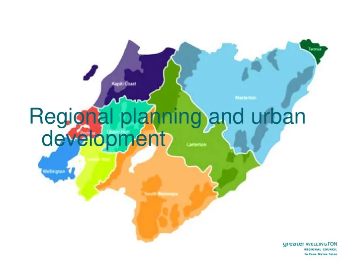

Regional planning and urban development
Wellington Regional Strategy • Earlier version included ‘focus areas’ – SH58/TG intersection • Reviewed a couple of years ago, focus areas were removed – focus instead on economic growth.
A future regional Spatial Plan? • Support – but not immediate priority – so currently ‘on hold’ • Would provide more specific direction on regional urban form/growth beyond
Regional Land Transport Plan 2015 High level policy framework – more PT, walk, cycle use, a • reliable and resilient strategic road network, providing for efficient movement of freight, improved road safety, etc Corridor strategies – high level principles; major transport • infrastructure projects identified at a concept level (e.g. TG, P2G); future growth areas broadly identified on corridor map sourced from TA advice/plans/strategies • Projects are included in a programme of activities for funding from the national land transport fund
Western corridor
New roading projects TG - included in RLTP as a ‘committed’ project • – Due to be completed in 2020 – Note - lower traffic volumes predicted to use Grey’s Rd and SH58 West of TG along the inlet. Petone to Grenada Road - Included in RLTP as • ‘priority 3’ among the ‘large new improvement projects’ list – NZTA Board to decide on preferred alignment option by end Oct, then AEE prep and consent to be lodged mid-2016. – Will involve significant earthworks. Impacts on Porirua Stream catchment and Porirua Harbour are part of the options assessment process and future AEE process. – Construction start indicative 2019, complete 2024
Regional Policy Statement • Policy direction to city and district councils at the time of district plan changes and resource consents • Compact, well-designed and sustainable regional form Managing development in rural areas • Integrating land use and • transportation
Recommend
More recommend