Notes: Introduction of the tools used in GIS for Emergency - PDF document
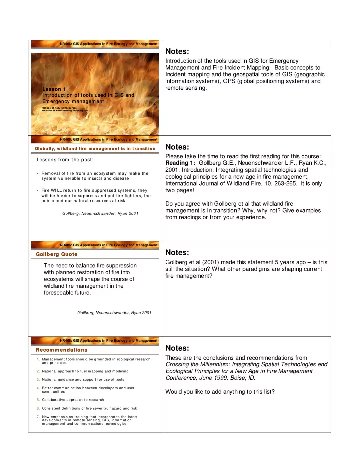
NR406: GIS Applications in Fire Ecology and Management Notes: Introduction of the tools used in GIS for Emergency Management and Fire Incident Mapping. Basic concepts to Incident mapping and the geospatial tools of GIS (geographic information
NR406: GIS Applications in Fire Ecology and Management Notes: Introduction of the tools used in GIS for Emergency Management and Fire Incident Mapping. Basic concepts to Incident mapping and the geospatial tools of GIS (geographic information systems), GPS (global positioning systems) and remote sensing. Lesson 1 Lesson 1 Introduction of tools used in GIS and Introduction of tools used in GIS and Em ergency managem ent Em ergency managem ent College of Natu ral Resou rces College of Natu ral Resou rces GI S and Rem ot e Sensing Teaching Lab GI S and Rem ot e Sensing Teaching Lab NR406: GIS Applications in Fire Ecology and Management Notes: Globally, w ildland fire m an agem ent is in t ransit ion Globally, w ildland fire m an agem ent is in t ransit ion Please take the time to read the first reading for this course: Lessons from the past: Reading 1: Gollberg G.E., Neuenschwander L.F., Ryan K.C., 2001. Introduction: Integrating spatial technologies and • Removal of fire from an ecosystem may make the ecological principles for a new age in fire management, system vulner able to insects and disease International Journal of Wildland Fire, 10, 263-265. It is only two pages! • Fir e WI LL return to fire suppressed systems, they will be har der to suppr ess and put fire fighters, the public and our natural r esources at risk Do you agree with Gollberg et al that wildland fire management is in transition? Why, why not? Give examples Gollberg, Neuenschwander, Ryan 2001 from readings or from your experience. NR406: GIS Applications in Fire Ecology and Management Notes: Gollberg Quote Gollberg Quote Gollberg et al (2001) made this statement 5 years ago – is this The need to balance fire suppression still the situation? What other paradigms are shaping current with planned restoration of fire into fire management? ecosystems will shape the course of wildland fire management in the foreseeable future. Gollberg, Neuenschwander, Ryan 2001 NR406: GIS Applications in Fire Ecology and Management Notes: Recom m endations Recom m endations These are the conclusions and recommendations from 1. Management tools should be grounded in ecological research and principles Crossing the Millennium: Integrating Spatial Technologies end Ecological Principles for a New Age in Fire Management 2. National approach to fuel m apping and m odeling Conference, June 1999, Boise, ID. 3. National guidance and support for use of tools 4. Better comm unication between developers and user Would you like to add anything to this list? com m unities 5. Collaborative approach to research 6. Consistent definitions of fire severity, hazard and risk 7. New em phasis on training that incorporates the latest developm ents in remote sensing, GIS, inform ation m anagem ent and comm unications technologies
NR406: GIS Applications in Fire Ecology and Management Notes: GI S & RS in Fire Applica tions GI S & RS in Fire Applica tions Throughout this course we will address most of the above • Field mapping – Incident mapping topics in readings, demonstrations, discussions, and hands-on • Fuels mapping exercises. • Analysis – Fire ecology & Mgt. • Fire history – fire atlas • Fire risk/ probability assessm ents • Fire sim ulation (FARSITE etc.) • Prescribed burn planning • Post-fire assessm ent NR406: GIS Applications in Fire Ecology and Management Notes: I ncident Mapping Outline I ncident Mapping Outline The next few slides will talk about fire incident mapping I. I ncident Comm and Systems (ICS) The incident mapping outline incorporates the following steps II. Geographic Information System s from the beginning of the incident to the daily products that Technician (GIST) are produced for the morning and afternoon briefing at a fire III. GIS Tools incident. IV. GIS Data Managem ent V. Standard Mapping Products NR406 Notes: GIS Applications in Fire Ecology & Management The Incident Command System provides for the single jurisdiction/single agency command structure with multi- agency involvement. This structured system expands in a I ncident Comm and System logical manner from an initial response situation into a major ( I CS) incident. ICS has common elements in organization, A Structure to help organize terminology and procedures nationwide. resources during a emergency m anagement situation or incident. NR406: GIS Applications in Fire Ecology and Management I ncident Com m and System I ncident Com m and System Notes: ( I CS) ( I CS) Based on Em ergency Based on Em ergency Response t o life or Response t o life or r esource th reat en in g resour ce t hreatening situ at ions. sit uation s.
NR406: GIS Applications in Fire Ecology and Management Notes: Cha racteristics of I CS Cha racteristics of I CS The ICS organizational structure develops in a modular • ICS provides and adapts it’s organizational fashion based upon the kind and size of the incident. The structure to any emergency or incident to organization staff builds from a top down hierarchy which emergency response agencies would maintaining responsibility and performance placed initially with be expected to respond the Incident Commander. • ICS Expands in a logical manner from an initial response situation into a m ajor incident. • ICS Designates a clear chain of command training M anual * Information provided by 2001 911GIS/ICS NR406: GIS Applications in Fire Ecology and Management Notes: I CS levels of Organization I CS levels of Organization For ease of reference and understanding of the role of GIS in Incident Comm ander the ICS system, the following incident Command list describes Comm and Staff: GI ST personal assigned to manage at each level of the ICS Section supervisor organization. The Geographic Information Systems Branch supervisor Technician (GIST) personnel falls under Incident Command Division Supervisor staff. This position is linked to the communications and aerial Unit leaders support crews and is constantly called upon by the Incident Commander and the situation unit leaders. NR406: GIS Applications in Fire Ecology and Management Notes: Fire I ncident Pla ns Cycle Many of you are familiar with this chart (may be already Data plotted on a nearby wall). This depicts a typical 24-hour Fire Transfer Incident Planning Cycle. Although this cycle varies considerably among size of fires and how they change over time, it still can be used to depict how GPS Field Work fits into GPS the general design. Field GIS Work Used by mostly field observers and others, Data collection occurs in the daylight hours and are fed into a GIS after some sort of Data Transfer (digital or handwritten) and then passed into the GIS for IAP’s (Incident Action Plans). Depending on size of fires, this cycle may occur twice (IAP in afternoon and morning). GPS in this graphic is depicted as the first part of this cycle. Different kinds of GPS receivers are available. The yare selected based on the ease of use, field durability and reliability, ability to connect to a computer, cost, spatial accuracy, and the type of data that needs to be recorded.
NR406: GIS Applications in Fire Ecology and Management Notes: Definition of GI S • A definition of GIS. • a GIS is a computer system capable of assembling, storing, manipulating, and displaying geographically r eferenced infor mation, i.e. data identified according to their locations NR406: GIS Applications in Fire Ecology and Management Notes: The role of GI S in I CS The role of GI S in I CS GIS Applications to emergency response situations and disaster relief has advanced to a level that major software tools have been developed to better facilitate incident mapping. GIS technicians are now able to produce detailed maps that can aide the Incident Commander in making split second decisions. NR406: GIS Applications in Fire Ecology and Management Notes: GI S Technician ( GI ST) GI S Technician ( GI ST) The GIST is responsible for spatial information collection, • GIST work from the Incident Com mand display, analysis, and dissemination. The GIST will provide Center during m ajor incidents. Global Positioning System (GPS) support, integrate infrared • GIST’s are usual point contact to Situation data, and incorporate all relevant incident command data to Unit Leaders and Incident Comm anders. produce chronological mapping products. • Provides Cartographic Mapping Illustrations of the major incident for Information Officers and Incident Comm anders. http://www.osha.gov/SLTC/etools/ics/tech_special.html NR406: GIS Applications in Fire Ecology and Management Notes: Definition of GI S • Folks also regard the total GIS as including operating • Also includes operating personnel and the personnel and the data that go into the system data that go into the system Hardware Software Data People Methods
Recommend


More recommend
Explore More Topics
Stay informed with curated content and fresh updates.