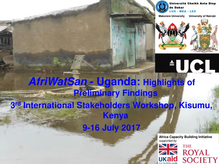

Makerere University University of Nairobi AfriWatSan - Uganda: Highlights of Preliminary Findings 3 rd International Stakeholders Workshop, Kisumu, Kenya 9-16 July 2017 Africa Capacity Building Initiative supported by
Network of Urban Observatories : smallest scale of town - Lukaya TC
Lukaya TC: 38 km 2 ; population: 24,335 (UBOS, 2014), largely groundwater-fed, limited piped water source, dominated by latrines
Key research methods • Construction of hydrometrical network ( e.g. piezometers, rainfall gauges) - for water level monitoring and event sampling; • Field mapping of on-site sanitation facilities and water points as well as evidence from public health monitoring ; • Laboratory analyses to include an assay of standard indicators of microbiological , chemical ( e.g. nitrates ) and stable-isotope tracers ;
Completed Activities - 1 • Mapping of water sources – n = 62 (94% functional) sources; 18% o Deep - 18% o Shallow (<30m) - 82% 82% Deep Shallow • Identification of water source users: o Individual - 23% o Institutional - 37% 23% 40% o Communal - 40% 37% Individual Institutional Communal
Completed Activities - 2 • WHO (1985) sanitary survey of water sources ( n = 58) – ranked as presence or absence of risk for overall vulnerability to contamination; 15.50% o 0-2 Low 31% o 3-4 Medium 24.10% o 5-7 High o 8-10 Very high 29.30% Low Medium High Very high • WHO (1985) sanitary survey of latrines ( n = 13); o 1-3 Low 7.70% o 4-5 Medium 7.70% o 6-8 High 30.80% o 9-10 Very high 53.80% 6 Low Medium High Very high
Ongoing Activities: Construct and instrument urban observatories • Site location factors depend on geology, population density, aquifer depth; • Characterisation of aquifer depths and types using lithological logs and geophysical surveys (e.g. VES and resistivity profiling); • To be followed by test pumping, and • Install water level data loggers and rain gauges; • Event sampling for chemical and microbiological analyses;
Ongoing Activities: Public health surveys • Public health survey questionnaires have been tested; • Subsequently, administer questionnaires for targeted public health parameters; 8
Ongoing Activities: Identify Capacity strengthening needs • Identification and review of thematic research literature; • Thematic field methods; • Thematic laboratory methods; • Data analysis and interpretation; • Publishing and communication of research outcomes;
Recommend
More recommend