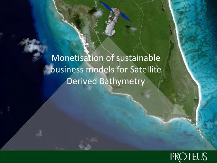

Monetisation of sustainable business models for Satellite Derived Bathymetry
Who are we? We are a UK & UAE based company specialising in satellite derived seabed & environmental mapping products We aim to bring new, cost effective coastal & environmental mapping solutions to the market We have delivered over 20 projects worldwide to prestigious customers such as EAD, UKHO, NOAA, British Navy, GSI etc.
History of bathymetry - boats
History of bathymetry – aircraft
History of bathymetry - satellite
Multi sensor acquisition Resolution WorldView-2 Rapid Eye Large area, Medium area Landsat Super high course surveys high resolution resolution at medium surveys at good surveys with accuracy accuracy excellent accuracy Accuracy
Preferred satellite data – WorldView-2 QB Pan MS WV1 Pan WV2 Pan MS 400 500 600 700 800 900 1000 1100 Wavelength (nm) 8 multispectral bands, with a coastal blue band.
What have we done so far? Special case studies All projects have been completed without any mobilisations of any kind
Wexford Harbour, Ireland Item Conclusion Client Geological Survey Ireland Date July 2012 Purpose Comparison with MBES, SBES & LiDAR Depths reached 20 m Accuracy Various – see difference sheet Achievements Relatively good results in Irish waters Issues Turbidity at river mouth gave poor accuracies • SDB can be successfully used in northern Atlantic Conclusions waters • GSI went on to issue RFP for SDB for 12 bays which Proteus won with work currently underway
Wexford
Wexford - Detail
Wexford Quality Map Unreliable results due to turbidity at river mouth Green & yellow indicate reliable data in clearer waters
Wexford validation by client using MBES Poor accuracies at Very good accuracies river mouth between 0m and 0.75m from MBES Accuracies start to taper off in deeper waters but still consistent with 10% of depth
Saipan, Northern Mariana Islands Item Conclusion Client NOAA Date January 2013 Purpose Remote island survey Depths reached > 25 m Accuracy Estimated at 10% of water depth – see overlay of data on chart Achievements Rapid survey in extremely remote area Issues None to report • Survey aligned well with NOAA charts Conclusions • No challenges to survey very remote area • Great example of how huge savings can be made negating the need for mobilisations of boats or aircraft
Bathymetry data overlaid onto NOAA chart Data lines up with dredged channel Shoals match 100% bottom cover achieved for survey area
Saipan channel X-Section
Saipan World War II wreck Bathymetry of boat below surface evident
Question – what if we could change the current sales & business models of seabed mapping and make the products even more affordable?
Bathymetry data capture cost comparisons Activity Echo sounding LiDAR Satellite Costs/sq km > $2,000 - $5,000 > $1,000 - $2,000 < $200 Data capture in field 5 – 10 sq km/hour 10 – 20 sq km/hour Unlimited Processing rate/ month 500 sq km 500 sq km 5,000 sq km Permits required? Yes Yes No Although this price is much lower than current prices – Mobilisation? Yes Yes No can this be lowered further? Border issues? Yes Yes No Health & safety issues? Yes Yes No Danger to ecosystem? Yes No No Pollution issues Yes Yes No Seabed classification? No No Yes
SUPPLY
Create “off the shelf” data products from archive Work with respected charting offices to validate data Re-sell multiple times thus reducing sq km rate even further
Create more than just xyz data
Conclusions • SDB is an affordable & fast alternative survey method compared to traditional methods • Accuracies more than adequate for most applications and are improving all the time • Remotely sensed surveys of seabed alleviate many issues associated with traditional methods such as permits, borders and H&S issues • Price point can be lowered further if new sustainable business models can be introduced and funded in short term
David Critchley www.proteusgeo.com dc@proteusgeo.com
Recommend
More recommend