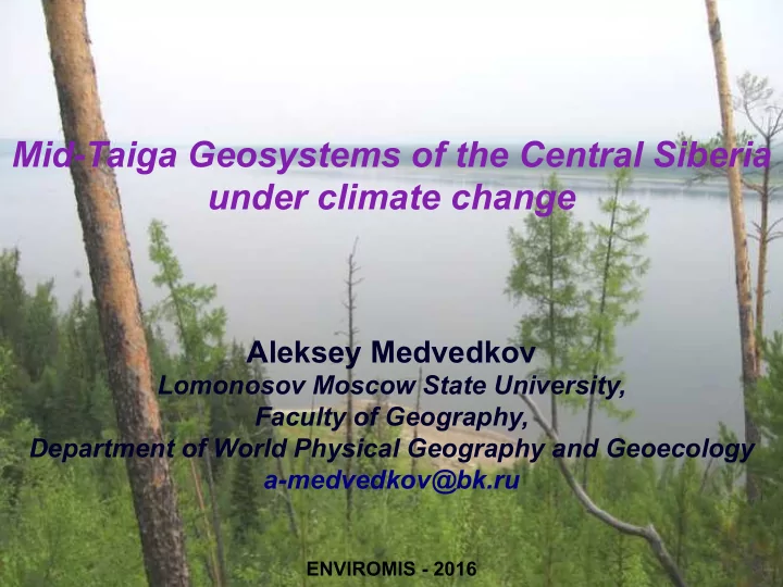

Mid-Taiga Geosystems of the Central Siberia under climate change Aleksey Medvedkov Lomonosov Moscow State University, Faculty of Geography, Department of World Physical Geography and Geoecology a-medvedkov@bk.ru ENVIROMIS - 2016
Maps of key study areas
Climate changes
Identification of permafrost landscapes: vegetation character
Identification of permafrost landscapes: relief microforms the composition of surface deposits n n the state of surface deposits n specific soils n
Schematic landscape-indication profile
Remote sensing of the permafrost landscapes Permafrost landscapes visually are significant not only on the terrain, but easily distinguished by thermal characteristics on surface temperature maps, obtained by processing data from Landsat TM and Terra ASTER. The possibility of using thermal images data for such aim relies on the work of M.I.Budyko about the structure of earth’s surface heat balance. This method is also confirmed by field studies.
Response of permafrost landscapes n At the depth of zero annual temperature variations, the cryogenic soil is cooled to 1°C and even to fractions of degree below zero. The active layer in loams and clays is the layer of seasonal freezing and thawing, which is 0.8–1.0 m in thickness. n Since the mid 1990s until now, the top of permafrost shifted 1.5–2 m and more down, demonstrating the process of permafrost degradation because of the warming of its strata.
Response of permafrost landscapes: corroms Within the corroms, even on badly heated slopes, goletz ice has thawed through, with formation of small depressions and disappearance of cold streamlets. They are overgrowing with lichens, low shrubs and individual trees. Piping hare, which plays an important role in sable diet, is leaving the corroms. This is facilitated by late spring frosts and the loss of underground water resources in base of the corroms.
Response of permafrost landscapes Not everywhere the permafrost and permafrost landscapes are so sensitive to observed climatic changes. The permafrost stows of glacis-floodplain and floodplain situated in large river valleys are the most stable. The stability of the stows of cold steep slopes covered by the frozen peat is a little bit less. 38 37 36 35 34 33 32 31 Температура , С 30 29 28 27 26 25 24 23 22 21 20 19 18 17 16 15 0 0.01 0.02 0.03 0.04 0.05 Расстояние (градусы)
Life Support Systems in a Changing Climate
Conclusions: The most significant response processes to climate warming in the boreal n landscapes of the Middle Yenisei area include an increase in the thickness of the active permafrost layer (10–15 cm/year within n lowstability stows) and the intensification of solifluction; cases of local replacement of solifluction by land slide motion of soils in the n zones of active river erosion; anomalously frequent fall of trees that have spread ingtype root systems in areas n where clay soils are waterlogged, have viscoplastic consistency, and are 1.5 or more meters in thickness; higher mobility of large boulders on kurums (NTCs that are most vulnerable to n climate warming) because of melting of baldpeak ice, as well as the number and area of overgrowth spots of mosses and lichens; depletion of subsurface streams under kurum boulder cover; n the intensification of thermokarst processes within swampy areas; n changes in the habitats and northward displace ment of some representatives of n the animal kingdom (ixodids, adder, etc.). Acknowledgement. The study was supported by Russian Foundation for Basic n Research (project 16-35-00327-mol_а) and supported by the Council for Grants under President of Russia (project MK - 7614.2015.5).
Thank you for your attention!
Recommend
More recommend