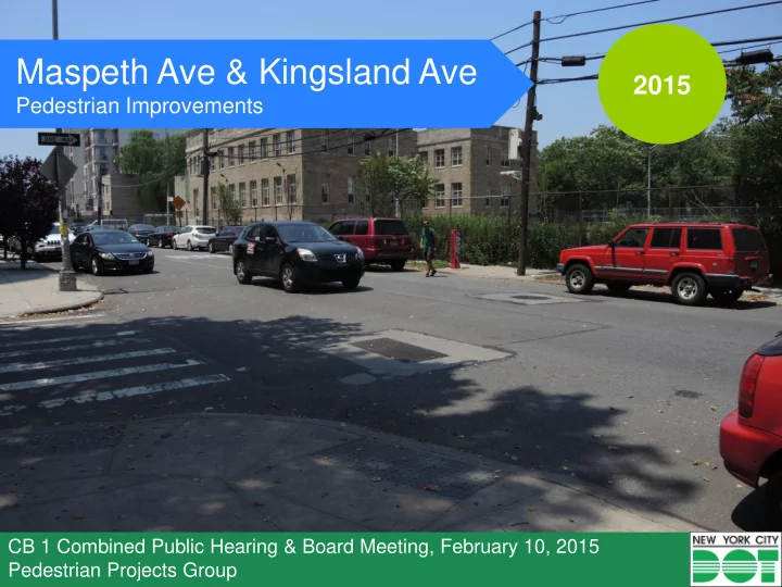

Maspeth Ave & Kingsland Ave 2015 Pedestrian Improvements CB 1 Combined Public Hearing & Board Meeting, February 10, 2015 Pedestrian Projects Group
Project Area • Community District 1 COOPER • High-density PARK HOUSES residential with some retail shops • Significant pedestrian traffic from Cooper Park Houses, Cooper Park, Montessori school, community GREENPOINT garden and RENAISSANCE community center CENTER RED SHED • B24 bus stops on GARDEN Kingsland Ave and Maspeth Ave; COOPER PARK Graham Ave L station west of project area CARRIG MONTESSORI
Background • Numerous community complaints of speeding on Maspeth Avenue • During January 2014 speed study, 47% of vehicles were speeding along Maspeth Ave • 2 speed humps installed on Maspeth Ave between Olive St and Kingsland Ave and Olive St and Debevoise Ave in June 2014 3
Existing Conditions • High pedestrian volumes • Limited access to Cooper Park • Wide travel lanes • Poor visibility • High speeds Existing speed humps
Proposed Plan • New marked crosswalks • Increased visibility • Traffic calming through narrowed travel lanes • Stop controls to prevent vehicle and pedestrian conflicts • Net increase in parking spots
Proposed Plan Uncontrolled Marked Crossings • Increases pedestrian access and visibility Example uncontrolled marked crossing with warning sign in the Bronx
Proposed Plan No Standing Anytime • Improves visibility
Proposed Plan KINGSLAND AVE EXISTING PROPOSED Traffic Calming • Channelized median and parking buffer narrow travel lanes • Reduces vehicle speeds Example parking buffer in Manhattan
Proposed Plan High-Visibility Crosswalk • Improves pedestrian access to Cooper Park Houses Remove No Parking Anytime Zone • Adds parking to area Stop Controls Parking Buffer • Prevents pedestrian and • Narrows travel lanes vehicle conflicts • Reduces vehicle speeds • Reduces vehicle speeds
Proposed Plan Angled Parking • Net increase in parking for the area • Calms street by narrowing travel lane Intersection Upgrades • High-visibility crosswalks improve drivers’ awareness of presence of Marked Crosswalk with pedestrian crossing Channelized Buffer • Peg-a-tracking guides vehicles • Improves pedestrian network through intersection and visibility • Channelization slows turns
Plan Summary 1. Install uncontrolled marked crossings at Maspeth Ave and Kingsland Ave, Maspeth Ave and Olive St and Maspeth Ave and Debevoise Ave 2. Add uncontrolled marked crossings across Kingsland Ave at Jackson St 3. Add 3 channelized No Standing Anytime zones on Maspeth Ave at top of T locations between Woodpoint Rd and Morgan Ave 4. Add high-visibility crosswalk at corner of Debevoise Ave and Jackson St 5. Install stop signs in both directions at corner of Debevoise Ave and Jackson St 6. Add parking buffer on north side of Jackson St 7. Remove No Parking Anytime zone on north west corner of Jackson St at Kingsland Ave 8. Add channelized median and parking buffer on Kingsland Ave between Jackson St and Frost St 9. Upgrade crosswalks and add peg-a-tracking at intersection of Frost St and Kingsland Ave 10. Expand channelized triangle at Woodpoint Rd and Kingsland Ave 11. Mark channelization and crosswalk at corner of Woodpoint Rd and Frost St 12. Add 60 degree angled parking to north and south sides of Frost St between Kingsland Ave and Morgan Ave 11 11
www.nyc.gov/dot Thank You
Recommend
More recommend