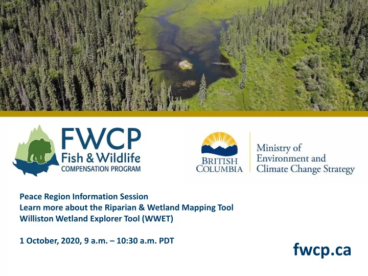

Peace Region Information Session Learn more about the Riparian & Wetland Mapping Tool Williston Wetland Explorer Tool (WWET) 1 October, 2020, 9 a.m. – 10:30 a.m. PDT fwcp.ca
Technology 2
Welcome and Introductions Chelsea Coady , FWCP Peace Region Manager Deepa Spaeth-Filatow , Provincial Bioterrain Specialist BC Ministry of Environment and Climate Change Strategy Gillian Harvey , Spatial Information Analyst, BC Ministry of Environment and Climate Change Strategy Roundtable introductions 3
Today’s purpose Increase awareness about the predictive riparian and wetland mapping tool - Williston Wetland Explorer Tool (WWET) - and how it can be used to support scoping and delivering FWCP-funded projects in the FWCP’s Peace Region 4
Agenda 1. FWCP overview 2. Why FWCP funded a riparian and wetland mapping tool 3. How riparian and wetlands were predicted 4. Demo of Williston Wetland Explorer Tool 5. Other resources & information 5
Introduction to FWCP The FWCP is a partnership between BC Hydro, the Province of B.C., Fisheries and Oceans Canada, First Nations and Public Stakeholders, to conserve and enhance fish and wildlife in watersheds impacted by BC Hydro dams. BC Hydro fulfills water licence and voluntary commitments through the FWCP. The FWCP is funded by BC Hydro. 6
~$8.7 million and 99 projects 7
FWCP’s Peace Region 8
How We Work All priority actions are eligible for funding Projects with an “Open” delivery approach are eligible for annual grants 9
Action plans define priorities & guide our work 10
Updated FWCP priority actions • Our new Riparian and Wetland action plan includes actions that identify using this new mapping tool. https://fwcp.ca/region/peace-region/#action-plans 11
Updated FWCP priority actions Use this predictive mapping tool and resources to: Assess connectivity, current function and threats to wetlands and riparian areas (including cumulative effects)…. To identify priority areas for conservation and enhancement actions 12
Updated FWCP priority actions Use this predictive mapping tool and resources to: Implement restoration of natural hydrology of wetlands 13
Why a mapping tool? Riparian and Wetland Action Plan 2 Priority actions in our 2014 riparian and wetlands action plan • Improve understanding of abundance, distribution, trend and connectivity of “Inventory the distribution, abundance, current function and connectivity of remaining wetland [and riparian] ecosystems” Riparian and Wetland Ecosystems Rationale: Before feasible targets for riparian or wetland ecosystem restoration or • enhancement , an inventory of existing habitats within the Peace Basin is required to identify potential sites and their current status 14
Why a mapping tool? The FWCP Peace Region is ~70,000 km 2 . Traditional TEM was not feasible due to size 15
How were areas predicted? Random Forest Model (Machine Learning) • – 3 category prediction Upland • Water • Wetland • – 10 category prediction Upland • Water • 3 riparian classes - includes low, mid and high bench flood units • 5 wetland classes - includes bog, fen, marsh, swamp and shallow water wetlands • 25x25 m cell size • Training points (Expert interpreted data points from satellite imagery) • Model Validation (Field data points: 2017, 2018 & 2019) • 16
How were areas predicted? 17
How were areas predicted? Model Accuracy 3 category prediction 92.6% internal model accuracy (7.4% error) 86.7% field validated accuracy 10 category prediction 88.2% internal model accuracy (11.8% error) 52.8% field validated accuracy • 25x25 m cell size – Important to consider wetland size and configuration 18
Live demonstration of the predictive riparian and wetland mapping tool Williston Wetland Explorer Tool (WWET) 19
Welcome tab 20
About tab 21
User Guide Tab 22
Wetland Explorer tab 23
Time Lapse tab 24
References & Acknowledgments tab 25
Other resources • The 2020 Final Report has more information – Guidance on appropriate use of the WWET (e.g. context, scale, establishing disturbance thresholds to support decision making etc.) – Details on disturbance analysis case study for the FWCP Peace Region 2020 Final Report and Data: http://a100.gov.bc.ca/pub/acat/public/viewReport.do?reportId=58802 WWET Application: https://governmentofbc.maps.arcgis.com/apps/MapSeries/index.html? appid=5a59fc13b9064cf7b19398f29ceaac9e 26
Contacts If you have questions about using this tool to support your proposed FWCP project Chelsea Coady Chelsea.Coady@bchydro.com 250-561-4884 If you have more technical questions about the WWET and predictive mapping. General Inquiries TEI_Mail@gov.bc.ca Deepa Spaeth Filatow Gillian Harvey Deepa.Filatow@gov.bc.ca Gillian.Harvey@gov.bc.ca 250-861-7675 250-419-8661 fwcp.ca 27
Grant Info Kit and Regional Guidance fwcp.ca/apply-for-funding/ fwcp.ca/info-kit-for-grant-applicants/ fwcp.ca/grant-requirements-guidance/ 28 Photo: Mandy Kellner
Stay Connected Connect with us on LinkedIn Fish & Wildlife Compensation Program Subscribe at Follow us on Instagram fishandwildlifecompprogram fwcp.ca/subscribe 29
Questions? 30
Recommend
More recommend