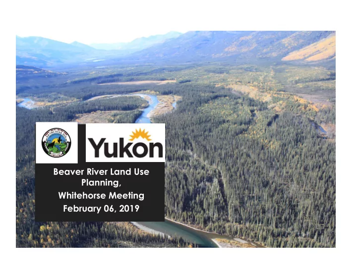

Beaver River Land Use Planning, Whitehorse Meeting February 06, 2019
Agenda for the Evening 1. Citizens of FNNND 2. Public Session 3. Presentation 4. Questions – All
Project Origin • In July 2016 ATAC Resources submitted an application for the construction of an all season road to the Yukon Environmental and Socio Economic Assessment Board (YESAB) for review (UFA Chapter 12). • The proposal is for construction and upgrade of 65 kilometers of road with 46 creek and river crossings including 8 bridges one of which is a multi span bridge across the Beaver River. • In May 2017 YESAB recommended the project proceed with terms and conditions. • The decision bodies (Yukon government and First Nation of Na-Cho Nyäk Dun) negotiated an agreement and jointly signed the decision document. • A condition of the decision document is that a land use plan for the Beaver River Watershed and a Road Access Management Plan for the tote road be submitted to the parties for approval before construction is authorized.
Planning Region
North Yukon Plan Gwich’in Plan Beaver River Plan Dawson Plan
Planning Region
Government to Government Planning Process
Planning Committee • FNNND – Steven Buyck and Lesley Cabott • Yukon Government – George Stetkiewicz and Karen Clyde • We operate on consensus, must achieve the objectives outlined in the agreement and submit a land use and road access management plan before March 2020.
Planning Objectives (come from the agreement) • Promote collaboration with respect to the use and management of land, water and resources including fish and wildlife and their habitat • Recommend measures to minimize actual and potential land use conflicts throughout the Planning Area • Use the traditional knowledge and experience of NND citizens, scientific information and local knowledge of other residents in NND’s traditional territory • Promote the well being of NND citizens and other residents in NND’s traditional territory, including residents of Mayo, Stewart Crossing and Keno • Take into account traditional land use by NND citizens and their traditional land management practices • Promote integrated management of land, water and resources including fish and wildlife and their habitats • Promote development that does not undermine the ecological and social systems upon which NND citizens and their culture are dependent
Planning Objectives (cont’d) Road access management plan. Y G will work with NND and ATAC to develop a road access management plan (the Road Access Management Plan) to be finalized before the commencement of construction of the Tote Road.
Road Access Management Plan
The Road • 65 km road:12 existing, 53 km new • 46 creek and river crossings including: 8 bridges, a multi- span bridge over the Beaver River, seven clear span bridges, and 38 culverts. • Private Road • 3 Gates
Road Access Management Plan
Planning Process – 4 Phases We are here 1. Information Gathering 2. Compile and Analyze the Information 3. Draft Plan 4. Final Plan
PHASE 1 • Toured portion of the region • Met with ATAC Resources
PHASE 1 • Met with Elders • Met with Renewable Resource Council • Presented at General Meeting in December
Meetings in Keno City and Mayo
Phase 1 – Key Wildlife Areas
Moose Observations
Key Moose Winter Areas
Mining Interests
Heritage and Archeological Sites
Information Gathering/New Research to Inform the Plan • Fish and Wildlife • Wetlands and Riparian • Geological Information • Heritage • Economic Development • Tourism • Traditional Knowledge The Planning Committee’s operating guidelines state: “ Traditional knowledge will be given equal weight as scientific knowledge to inform the planning process” .
Workplan Plan Development Phases July to Oct to Jan to April to July to Oct to Jan to Sept Dec March June Sept Dec March 2018 2019 2020 Start up Terms of Reference Workplan Gathering Info and Consultation Background Report Analyze Information Draft Plan Consultation Final Plan submit to Parties Tote Road Access Management Plan
1. GIS Mapping Questions? Questions? FNNND: Lesley Cabott Information on NND and YG websites lesley.cabott@stantec.com www. nndfn.com YG: George Stetkiewicz www.yukon .ca george.stetkiewicz@gov.yk.ca
Recommend
More recommend