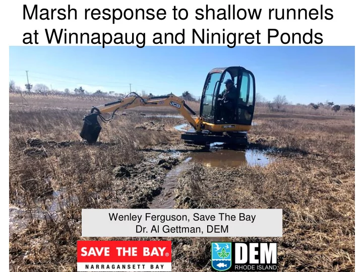

Marsh response to shallow runnels at Winnapaug and Ninigret Ponds Wenley Ferguson, Save The Bay Dr. Al Gettman, DEM
Region-wide assessment of Narragansett Bay and South Shore salt marshes: 2012-2014 Monitored vegetation every 10 meters and width of plant communities Measured bearing capacity Additional data: salinity, mosquito density, fish presence
Barren peat Shallow impounded water Defined pool in foreground versus Mosquito breeding habitat shallow standing water
Marsh Adaptation Strategies In Marsh Drainage enhancement of expanding impounded water areas through excavation of shallow creeks or runnels Sediment placement Marsh Migration Remove of physical barriers to marsh migration i.e. walls/dams/roads Land conservation
Runnel projects Proposed runnel projects Marsh migration facilitation projects
Runnel range of profiles small runnels 6- 8” 10” large runnels 12 - 16” 12”
Winnapaug Marsh: Westerly 1 st runnel project in collaboration with RIDEM • Mosquito Abatement Program in 2013 2011 Runnels dug through ditch spoils: 2013 2013
Winnapaug Marsh
Winnapaug Marsh Vegetation Percent Cover 80.00% 70.00% 60.00% 50.00% % Cover 40.00% 30.00% 20.00% 10.00% 0.00% Open Water Bare Salicornia depressa Spartina alterniflora Spartina patens 2011 2013 2014 2015 2017 2019 Runnels installed spring 2013
Winnapaug Pond DEM Land
Winnapaug Pond Audubon Society and Westerly Land Trust
Ninigret Pond East: DEM Land
2 nd phase of runnel excavation
Recommend
More recommend