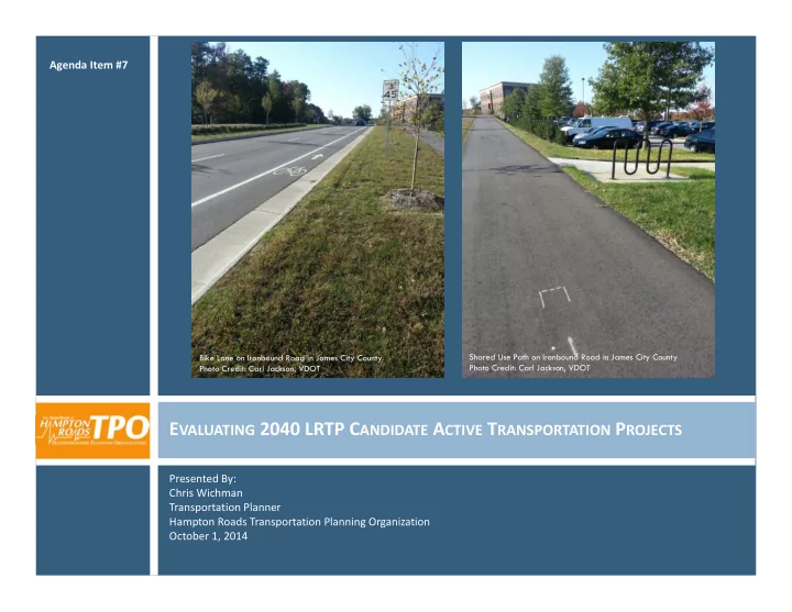

Agenda Item #7 Shared Use Path on Ironbound Road in James City County Bike Lane on Ironbound Road in James City County Photo Credit: Carl Jackson, VDOT Photo Credit: Carl Jackson, VDOT E VALUATING 2040 LRTP C ANDIDATE A CTIVE T RANSPORTATION P ROJECTS Presented By: Chris Wichman Transportation Planner Hampton Roads Transportation Planning Organization October 1, 2014
2 LRTP S UBCOMMITTEE J ULY 2, 2014 2 Regional Active Transportation Map (Draft) presented to LRTP Subcommittee: Purpose of the map? Recommendation: Use the regional existing facilities map as staff tool in prioritization of 2040 LRTP candidate active transportation projects, rather than as a public map. What qualifies as an existing “shared roadway”? Recommendation: Must be designated in an adopted locality transportation plan or bicycle master plan/map. 2
R EVISED A CTIVE T RANSPORTATION E XISTING F ACILITIES M AP B ASED ON LRTP S UBCOMMITTEE R ECOMMENDATION 3 2 Criteria for inclusion in ‘Existing’ dataset: In locality submitted GIS files as ‘Existing’ 1. For shared roadways: designated in approved 2. locality transportation plan or bicycle master plan/map Confirmed by inspection of Google maps 3. i.e. Does it exist? Is it signed? Note: If Google data appeared outdated, relied on communication with locality staff for confirmation of existing status. 3
F ACILITY T YPES USED ON M AP 4 2 Facility Type Description Shared Use Path Asphalt or concrete paths physically separated from motorized vehicular traffic by an open space (buffer) or barrier; designated for use by both pedestrians and bicycles. Bike Lane A portion of the roadway designed by striping, signing, and/or placement markings for preferential or exclusive use of bicycles. Paved Shoulder A paved portion of the roadway to the right of the edge stripe on which bicyclists may ride, that are not marked or signed as ‘bike lanes’. Wide Sidewalk A portion of public right-of-way between the curb line of a roadway and the adjacent property line which includes approximately 8’ or wider sidewalk designated for use by both pedestrians and bicycles. Signed Shared Roadway Roadways designated as preferred bicycle routes by bike route signage. Shared Roadway (unsigned) Roadways designated as preferred bicycle routes in an adopted locality transportation plan or bicycle master plan/map. 4
5
P RIORITIZATION T OOL 6 2 Active Transportation Criteria and Sub ‐ criteria Weighting PROJECT UTILITY 30.00 System Continuity and Connectivity Access to Transit, Local, or Regional Destinations 11.00 Connections to Existing Bicycle/Pedestrian Facilities 8.00 Elimination of Barriers to Major Destinations 7.00 Regional Significance 4.00 30.00 Safety Crash History 15.00 Safety Improvement 15.00 Cost Effectiveness (Cost/Population Served in 1.5 Mile Radius) 20.00 10.00 Enhances Other Categories 10.00 Land Use/Future Development Compatibility PROJECT UTILITY TOTAL 100.00 PROJECT VIABILITY Percent of Additional Funding (sliding scale 0 ‐ 50) 50.00 10.00 Prior Commitment (project included in the currently adopted LRTP?) 10.00 Percentage of Project Design Complete (sliding scale 1 ‐ 10) Environmental Documents Complete 15.00 5.00 Environmental Decisions Obtained 5.00 ROW Obtained/Utilities Coordinated Additional Environmental Permits Obtained 5.00 PROJECT VIABILITY TOTAL 100.00 Source: HRTPO Project Prioritization Tool 6
R ECOMMENDED A CTION 7 2 Approve the map for HRTPO staff usage in project prioritization. 7
Recommend
More recommend