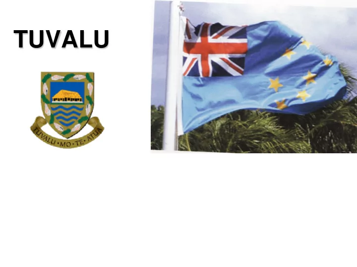

TUVALU
Map of Tuvalu Source: Te Kakeega, Government of Tuvalu
HISTORY in brief First sightings - 1568 (Spaniard Explorer) Traders – 1860’s Missionaries – 1861 (Elekana) Colonisation – 1892 (by the British, became Gilbert and Ellice Islands) World War II - 1945 (US soldiers set up camps on 3 islands) Independence - 1978 October 1 st (separate from the Gilbert Islands 1976) Became UN member – 1999-2000
GOVERNMENT • Democratic government. • Rely on international donors • Receives 4 million/year in royalties for internet domain name .tv. Maritime school trains sailors to work on overseas boats
Fast Facts • Population 11,000 people • Polynesian Heritage • 98% of population are Christians • Land Area of 26km2 • Highest Peak: Less than 5m • 40% of Population resides on Funafuti (urban centre) • large portion of population are Migrating to New Zealand. through NZ migration schemes.
CLIMATE CHANGE IMPACT
CRISIS SEA LEVEL RISE
Higher tides
Unusual flooding
Ground opens up on Niutao Island
Soil Erosion The sea is eating into the already Limited land area. The extracting of sand and beach pebbles for construction purposes may contribute to the problem.
Salt water encroaching root crops, affecting stable diet.
Traditional TUVALU
Changing the thatch
Modern TUVALU
Funafuti - Capital
Urban centre overpopulated depleting resources exceeds carrying capacity
MY PROJECT • ETHICAL HIGH-GROUND : ECOLOGICALLY SUSTAINABLE SETTLEMENT FOR CLIMATE CHANGE INDUCED MIGRATION - TUVALU
Recommend
More recommend