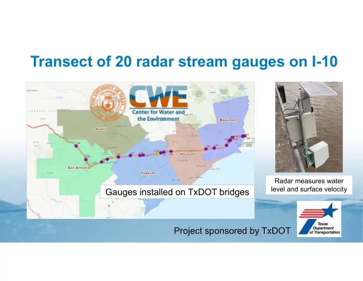

Transect of 20 radar stream gauges on I-10 Radar measures water level and surface velocity Gauges installed on TxDOT bridges Project sponsored by TxDOT
Site 105: Hillebrandt Bayou in Beaumont Gauge is in the coastal zone Normally measures standing water at sea level I-10 Beaumont I-10 Coastal zone Gulf of Mexico
Sensor, LIDAR DEM, and LIDAR Point Cloud on Bridge Used to characterize elevation profiles at site LIDAR DEM Bridge Point Cloud Sensor
Stream Cross-Section and Road Profile Developed from LIDAR and sonar measurement Normal Conditions at Site 105: Hillebrandt Bayou at TX‐124 20 Elevation Above Geodetic Datum (ft) 15 Sensor 10 Road Low Chord 5 Stream Bed Standing water at sea level Sea Level 0 0 50 100 150 200 250 300 350 ‐5 ‐10 Distance (ft)
Radar Streamflow Measurement during TS Imelda Gauge simultaneously measures water level and surface velocity, then computes discharge 25 6000 Water Level (ft), Velocity (ft/s) 5000 20 Discharge (cfs) 4000 15 3000 10 2000 5 1000 0 0 18-Sep-19 19-Sep-19 20-Sep-19 21-Sep-19 22-Sep-19 Water Level Velocity Discharge
EarthViews 360 ° Imagery at Hillebrandt Bayou https://arcgis.earthviews.com/public/105-hillerbrandt-bayou#22 Radar Sensor Virtual Staff Gauge
Water Level on Virtual Staff Gauge Tropical Storm Imelda at Hillebrandt Bayou 20 15 Water Level (ft) Peak water level 19.7 feet above stream bed 10 5 0 18-Sep-19 19-Sep-19 20-Sep-19 21-Sep-19 22-Sep-19
Recommend
More recommend