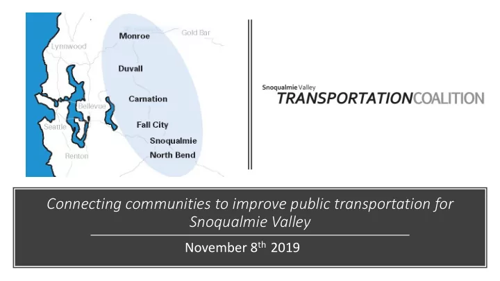

Connecting communities to improve public transportation for Snoqualmie Valley November 8 th 2019
Welcome! • Introductions • Announcements
SVTC’s Website Launch www.GetAroundTheValley.org
Agenda • Review updated project list • Draft Performance Metrics for projects • Review Feedback data log
Committee Guidelines: • Be present • Confidentiality • Learn from each other • Practice “both/and” thinking • Speak your discomfort and your truth • Listen for understanding • Intent is different than impact • Share from your own experience • Monitor your airtime
Transportation Plan’s Purpose: To create a coordinated transportation plan uniting all cities in Snoqualmie Valley and the surrounding region.
Guiding Principles: 1. Design transportation innovations that are safe, affordable, convenient, and accessible for Snoqualmie Valley. 2. Plan for financially sustainable transportation programs and services while keeping it affordable for all users. 3. Create a coordinated transportation system that satisfies the Valley’s needs and gets the Valley where they need to go.
Drafting Performance Metrics - Community Van
Metro – Setting target service Le Levels • Corridor productivity indicators demonstrate the potential demand for transit in a corridor using land-use factors: the number of households, jobs, enrolled students1 , and park-and-ride stalls2 located within a quartermile walk to a bus stop. These factors are used because areas where many people live, work, or go to school have high potential transit use. The quarter-mile calculation considers how well streets are connected; only those areas that have an actual path to a bus stop are considered to have access to transit. This is an important distinction in areas that have a limited street grid or barriers to direct access, such as lakes or freeways. Park-andrides are included because many people who access the transit system live outside of the quarter-mile draw area. • Social equity indicators show how well a corridor serves any areas where there are concentrations of minority and low-income populations along the corridor. This is done by comparing boardings in these areas against the systemwide average of all corridor boardings within minority and low-income census tracts.3 Metro assigns the highest value to corridors with concentrations of boardings in low-income or minority census tracts that are higher than the system average. Those close to the system average, but just below, are also awarded value in this process. • Geographic value indicators establish how well a corridor supports connections and service to transit activity centers, regional growth centers, and manufacturing/industrial centers4 throughout King County . All connections between centers are important and are given value in this process. Corridors that are the primary connections between centers, based on ridership and travel time, receive higher value in this process. King County centers are described on p. 15 of the strategic plan and are listed in Appendix 1 of this document.
Social equity and Geographic Valu lue in indicators:
5-Year Transportation Plan Timeline • Finalize Community Engagement • Draft Plan Components Sept • Finalize Priority Projects • Draft Plan Components Oct • Performance Measures • Finalize Draft Plan and Seek Task Force’s Feedback Nov • Finalize Plan Dec • Begin Disseminating Plan and Identify Next Steps Jan
Upcoming Meetings: General Coalition Meeting: Friday, December 13 th at 10:30AM Sno-Valley Hopelink • We will be discussing draft report and meeting plans for 2020 Task Force Celebration Meeting : Friday, January 10th at 10:30 AM Sno-Valley Hopelink • Celebrating SVTC and the 5 Year Transportation Plan and discussing 2020 plans.
Thank You! M’Liss Moon Staci Haber Mobility Coordinator Director Mobility Management Snoqualmie Valley (425) 943-6769 (425) 943-6753 shaber@hopelink.org mlmoon@hopelink.org
Recommend
More recommend