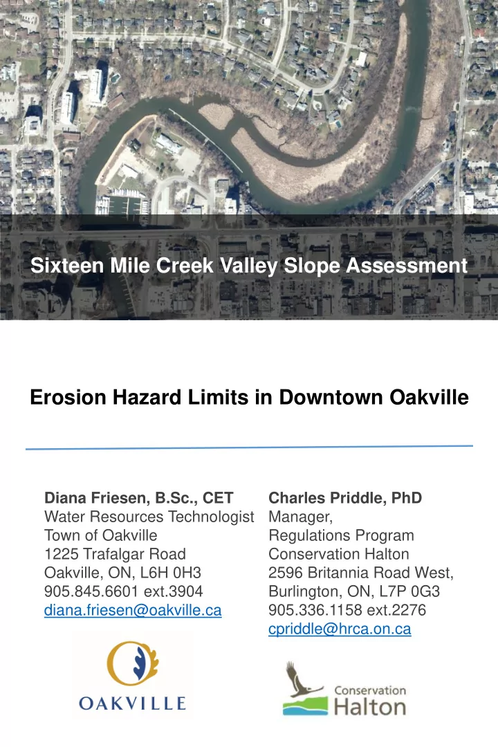

Town of Oakville | Name of public meeting/open house etc. Sixteen Mile Creek Valley Slope Assessment Erosion Hazard Limits in Downtown Oakville Diana Friesen, B.Sc., CET Charles Priddle, PhD Water Resources Technologist Manager, Town of Oakville Regulations Program 1225 Trafalgar Road Conservation Halton Oakville, ON, L6H 0H3 2596 Britannia Road West, 905.845.6601 ext.3904 Burlington, ON, L7P 0G3 diana.friesen@oakville.ca 905.336.1158 ext.2276 cpriddle@hrca.on.ca
Town of Oakville | Sixteen Mile Creek Valley Slope Assessment Town of Oakville | Name of public meeting/open house etc. Slope Stability Study • Study area includes Sixteen Mile Creek Valley and the lands along Navy Street, Randall Street and Dunn Street. • The components of the study included: • Review of Background Information, (previous mapping and reports). • Site inspections and detailed topographic survey. • Geotechnical investigation Title line 1 to assess subsurface soil/bedrock and Title line 2 groundwater conditions. • Slope stability analysis to determine stable slope. • Fluvial geomorphological study to estimate creek bank erosion over a 100- year plan horizon.
Town of Oakville | Sixteen Mile Creek Valley Slope Assessment Town of Oakville | Name of public meeting/open house etc. Slope Stability Study • Information from the study was used to confirm the extent of the “top of stable slope” or “erosion hazard limit” which are used to define the “Regulated limits” at this location. • For “major valley systems” such as Sixteen Mile Creek, Conservation Halton (CH) regulates the Title line 1 erosion hazards, as well as an allowance of 15m from the limit of the hazard or stable top of bank. Title line 2 • Detailed technical studies can be undertaken to confirm CH’s regulated limit mapping.
Town of Oakville | Sixteen Mile Creek Valley Slope Assessment Town of Oakville | Name of public meeting/open house etc. CH Regulated Limits Title line 1 Title line 2
Town of Oakville | Sixteen Mile Creek Valley Slope Assessment Town of Oakville | Name of public meeting/open house etc. Ontario Regulation 162/06 • Section 28 (1) of the Conservation Authorities Act allows conservation authorities to make regulations in areas that are within their jurisdiction to prohibit development in hazardous lands. CH’s regulation is Ontario Regulation 162/06. The purpose of the regulation is to protect life and property from natural hazards such as flooding and erosion. • Under Ontario Regulation 162/06, CH regulates: • all development in or adjacent to river or stream valleys, wetlands, shorelines or hazardous lands; • alterations to a river, creek, stream or watercourse; and • interference with wetlands. Title line 1 Title line 2
Town of Oakville | Sixteen Mile Creek Valley Slope Assessment Town of Oakville | Name of public meeting/open house etc. Ontario Regulation 162/06 • Permission is required from CH for undertaking any works in or adjacent to watercourses, river or stream valleys, lands adjacent or close to the shoreline for Lake Ontario, other natural hazards such as karst, and wetlands and surrounding lands where development could interfere with the hydrologic function of a wetland. • CH can issue a permit if the proposed works meet CH’s Policies and Guidelines for the Administration of Ontario Regulation 162/06 (last revised February 2016). • For more information on CH’s regulation and policies, please visit CH’s website conservationhalton.ca
Recommend
More recommend