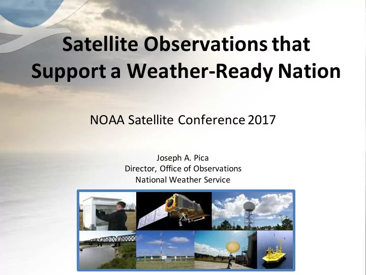

Satellite Observations that Support a Weather-Ready Nation NOAA Satellite Conference 2017 Joseph A. Pica Director, Office of Observations National Weather Service
Increasing Societal Vulnerability to Environmental Hazards Loss Events in the US (1980-2015) Average Year 26,000 650 Deaths and $15B in Losses 6 Atlantic Severe Hurricanes Storms 1,300 5,000 Tornadoes Floods Factors contributing to increased vulnerabilities ✓ Increasing population in vulnerable areas 4 out of 5 Americans live in counties that have ✓ More infrastructure at risk to extreme events been declared weather-related disaster areas ✓ Signs of a changing climate in the past six years* • Sea-Level Rise Meanwhile we are now predicting extreme events out to a week in advance! 2 *Source: Environment America
Realizing the Full Value of Forecasts: Connecting Forecasts to Critical Decisions Realizing Intrinsic Generating Connecting those forecasts & = forecasts Value and warnings with impacts (IDSS) and warnings Mission Success “Impact-based Decision Support Services” Develop relationships and Embed know partner when needs needed Provide the best Support partner hydrological and decision making meteorological Build trust before, during, and forecasting in the after events world Explain uncertainty 3
NWS Strategic Outcome: A Weather- and Water-Ready Nation “Ready, Responsive, Resilient” Better forecasts and warnings… Actionable environmental intelligence… Consistent products and services Connecting forecasts to decisions Involves the entire US Weather, Water and Climate Enterprise WORKING TOGETHER 4 We have 5700+ WRN Ambassadors 4 4
Today’s Weather Forecast Everything you read, see or hear about weather, climate and ocean forecasts is based on numerical prediction models Four Essential Components of the Prediction Enterprise • Global Observations • ~2B/day • 99.9% remotely sensed • Satellites, radars, aircraft, buoys, radiosondes • Data Assimilation & Modeling/Science • Earth System Model (Atmosphere, Ocean, Land, Ice) • Supercomputers • Computing: Primary/Backup each @ 2.8PF runs with 99.9% reliability • Forecaster Skill 5
How We Do It: The Forecast Process Satellites Science & Technology Integration Observations Dissemination Analyze, Forecast, & Central Support Processing Central Local Guidance Forecasts 6
Satellite User Readiness is Critical! • We (Team NOAA) are ensuring satellite readiness from an end-to-end perspective. – Begins years prior to launch: GOES-R leading the way – Ensures earliest data delivery right to our forecasters’ fingertips and to numerical models – Leads to impact-based decision support for emergency management community, etc. • Before launch and then during the engineering checkout phase – Test and evaluation with simulated data, review during calibration activities, etc. to ensure Day 1 readiness – Very different from 20 years ago when a lot of the readiness work took place 1-2 years after the launch. 7
Early Use of GOES-16 • GOES-R Series is a “game changer” with exciting new capabilities that are being used in “operational” mode and saving lives – Revolutionary capability will "redefine Mesoscale Meteorology“ – Unprecedented and unforeseen use for fire weather support – New GOES Lightning Mapper showing great promise – Space Weather continues as a key mission • This is excellent example of the benefit of end to end user readiness enabling quick adoption of new capabilities 8
9 Courtesy of Dan Lindsey, NESDIS/RAMMB
Dr. Uccellini Testimonial “GOES 16 is allowing us to routinely visualize the wonders of the mesoscale structure and evolution within the various circulation regimes for the first time. Will likely revolutionize our basic understanding of mesoscale circulation systems, especially as the theoretical members start sinking their teeth into what we are seeing. And to think we have been amazed … yet we are still in the engineering checkout phase.” June 20, 2017 Note to SUNY-Albany MAP listserv on Slide 9 Imagery Loop 10
Aviation Weather “Game Changer” 1631Z SFO 1741Z Preliminary, non-operational data. Original Ground Delay Program affected 48 flights, reduced to 16 with GOES-16. 11 NWS Aviation Weather Center / National Aviation Meteorologist – 3/3/2017
Fire Weather “Game Changer” Red Visible Blue Visible 0.5 km res 1.0 km res Intense Fires Fire Hot Spots 2.0 km res 2.0 km res Afternoon Evolution of Front and Fires (~1:30-6:00pm) Excerpt from GOES 16 training film from Operations Proving Ground related to fire weather -- this is unprecedented. Full video is here: https://youtu.be/P1oVl9nL9LQ Credit – Kim Runk, NWS Operations Proving Ground 12
More Capability on the Way • JPSS – Day-Night Band applications – AMTS and CrIS radiances in models • GOES-S – Revolutionary capability for Western U.S. and Pacific • COSMIC 2A – 1800 soundings a day in the tropics is eagerly anticipated 13
Summary • We're building a Weather-Ready Nation to mitigate our growing vulnerability to high- impact weather • Satellite data remains critically important to the forecast and warning mission of the NWS and to the global weather enterprise • End-to-end user readiness is critical to optimal use of new satellite capabilities • There is tremendous enthusiasm with respect to the new satellite capabilities becoming operational!!! 14
Thank You! 15
Recommend
More recommend