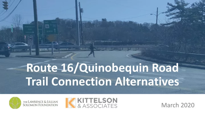

Route 16/Quinobequin Road Trail Connection Alternatives March 2020
Alternative A: Quinobequin At-Grade Crossing
Alternative A: Quinobequin At-Grade Crossing
Alternative A: Quinobequin At-Grade Crossing
Alternative B: I-95 Ramp Underpass
Alternative B: I-95 Ramp Underpass
Alternative C: I-95 Underpass Along Charles River
Alternative C: I-95 Underpass Along Charles River OPTION 1 I-95 Connection from Quinobequin Road At the end of the utility access road, the trail Existing utility access road would parallel the I-95 highway embankment from ramp to I-95 ends after 300’ toward the Cochituate Aqueduct stone bridge.
Alternative C: I-95 Underpass Along Charles River Existing Stone Bridge ALL OPTIONS (Cochituate Aqueduct) ends at I-95 OPTION 1 I-95 Bridge To I-95 Connection from utility underpass access road under stone bridge View from opposite side of Charles River 2 N O I T P O Trail would continue under the I-95 bridge Connection Connection from that passes over the Charles River. from existing existing Charles River Cochituate Trail Link Trail OPTION 3
Alternative C: Stone Bridge to I-95 Underpass I-95 Bridge View from stone View from opposite side of bridge Charles River Bringing trail under I-95 bridge would require a cantilevered boardwalk. Challenges: vertical clearance, permitting, lighting, comfort Example (right): Paul Dudley White Bike Path under the BU Bridge Source: Google Streetview 2015
Alternative D: Route 16/Quinobequin Reconstruction Option 1: Remove I-95 S on- and off-ramps from Quinobequin Road ¼ mile between interchanges Note: Ramp removal requires Interchange Modification Report (IMR) to be submitted to FHWA.
Alternative D: Route 16/Quinobequin Reconstruction Option 2: Reconstruct intersection without removing ramps + Alternative A OR + Alternative B Recommendation: Conduct Intersection Control Evaluation (ICE) to screen geometric and traffic control options for Route 16/Quinobequin/Walnut intersection
Alternatives Matrix (Preliminary) Undesirable Desirable Alignment Ease of Safety Route Navigability Quality of Experience Cost Ease of Permitting Option Construction Alternative A Moderate Moderate Moderate Low Moderate Easy At-Grade Crossing • Exposure to conflicts • 90 degree turn for • Potential • Requires seeking gap in with vehicles bikes environmental traffic to cross • Multiple crossings permitting needs along Charles River Alternative B High Easy High Moderate Moderate Difficult Ramp Underpass • Limited exposure to • Continuous facility on • If lighting provided for • Potential • Potential challenge to conflicts with same side of the road security environmental maintain sufficient vehicles • Potential to open access to permitting needs along vertical clearance, recreational land along the Charles River drainage, and ADA- river compliant grades Alternative C High Moderate High High Difficult Difficult I-95 Underpass • Limited exposure to • Circuitous connection • If lighting provided for • Potential • Potential challenge to conflicts with • Unpaved trail security environmental maintain ADA-compliant vehicles connection in Options • Potential to open access to permitting challenges grades and sufficient 2 and 3 deter biking recreational land along for construction over vertical clearance Charles River Charles River Alternative D More Easy High High Difficult More information Intersection • Potential to improve • More complex information needed • Potential to create more Reconstruction ped and bike permitting process comfortable connection needed (Not including connectivity from Route 16 (High potential if ramp removal) throughout ramps removed) intersection area
Recommend
More recommend