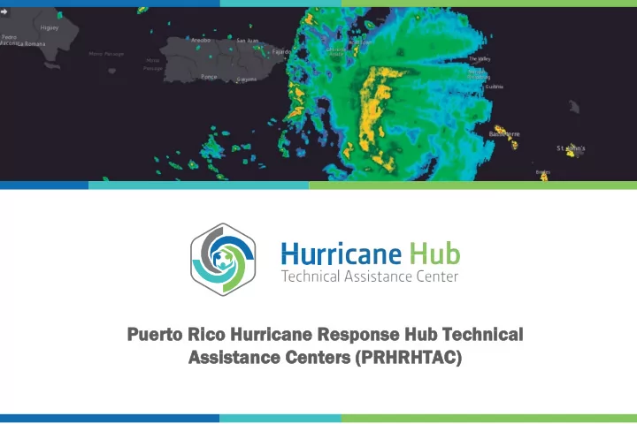

Puerto R o Rico H o Hurricane R e Response H e Hub Te b Techn hnical Assista tance C Cente ters ( (PRHR RHRHT HTAC)
Hurricane ne D Dorian An O Oppo portunity f for a a D DRILL Hurricane Dorian served Puerto Rico as one Even the best predictions of a storm’s of the best opportunities for an “island-wide trajectory can change rapidly. The best data drill”. Citizens are still recovering from sources indicated that Dorian would hit Hurricanes Irma and Maria that devastated Puerto Rico, but this did not happen. Instead, the island in September 2017. The near a week later we saw Dorian devastate the miss of Dorian’s impact took a psychologic Bahamas and make its way north impacting toll on Puerto Rico’s communities. The the east coast of the US and Canada. Our experience highlighted gaps in families, communities and first responders preparedness for families and communities. need to regularly integrate disaster response The PR Hurricane Response Hub and our training and preparedness into our routines. partners better understand the importance of practicing a solid emergency response plan.
Risk Co Communications Efficient communications of reliable, key evidence-based and consistent risk communication messages by government and humanitarian response organizations targeted towards families, community leaders and the public was identified as a high priority training need . Co Como A Ayudar PRHRHTAC and Public Health Trust has been receiving and disseminating advisories on the Bahamas response effort. The “Como Ayudar” campaign series encourages the public to donate cash to reliable aid organizations rather than doing large collections of supplies.
NASA a and P Puer erto R o Rico S o Scien ence, T Technol olog ogy and R Research T Trust’s C Collaboration P Portal Immediately prior to Hurricane Dorian’s approach, NASA and the Puerto Rico Science, Technology and Research Trust’s (PRSTRT) formalized a collaboration via a portal to portal connection using ARC GIS Servers. NASA can share the GIS Web Services Group called the “NASA Disaster Program”. This is a series of large data sets, maps, imagery and other tools that the Puerto Rico Hurricane Response Hub can access directly. Including flood maps, precipitation imagery, day/night imagery that indicates access to electricity, and a landslide probability tool for the world. These sources of information are updated every three hours, so the information approaches real time.
To introduce the role of the PRHRHTAC in the Caribbean, when the initial predictions on Hurricane Dorian put the Dominican Republic (DR) on an imminent path a of destruction, we contacted the disaster management authorities in Dominican Republic Government. At that point, the PRHRHTAC made the NASA tools available for them to follow the path of the storm, predict flooding and the zones at risk of landslides. In this way they could forecast evacuations based on reliable data. Our agreement with NASA allows us to make these tools available to other Caribbean countries. The PRSTRT GIS Team and the PRHRHTAC are working together to identify web mapping applications to incorporate overlays of physical, social and economic information that can help first responders predict communities facing the greatest inequities. Our role will be to analyze, digest and present the NASA information in useful ways for the emergency response network and the public.
The PRHRH’s partner, Puerto Rico Emergency Management Agency (PREMA) will also install a NASA Collaboration portal to be able to receive this same NASA information in real time to better direct response efforts to areas at greater risk based upon predicted storm trajectory, wind speed, expected rainfall and projected storm surge. The PRSTRT GIS Staff will assist with creating ways to help make data more visible and user friendly for agencies like PREMA and our international non-governmental organization network. Information can also be provided to our PRHRHTAC partner jurisdictions and regional collaborators in the Caribbean. Portal can be accessed at: https://gis.prsciencetrust.org/NASA Satellite Image of Dorian on Sept. 5, 2019 presenting flood risk overlay.
Image of Dorian Sept. 6, 2019 with flood zone map for U.S. and landslide risks seen in the Carolinas (yellow dots) after recent passing of Dorian.
This image captures the lingering remains of tropical storm Fernand and shows moderate risk areas for landslides in Mexico and Texas border.
Dorian passing next to Puerto Rico using the NASA tools
Hurricane Jerry trajectory using the Pacific Disaster Center Tool
For or m mor ore i infor nformation v on visi sit ou our w websi site : http://prsciencetrust.org/prhrh/ Other er H Hel elpful R Res esources es: National Hurricane Center Advisories: https://www.nhc.noaa.gov/?epac Coastal Inundation Dashboard: https://tidesandcurrents.noaa.gov/inundationdb/# Pacific Disaster Center: www.pdc.org NOAA wind models: https://www.nhc.noaa.gov/tafb_latest/USA_latest.pdf PR water and stream gauge data: https://waterdata.usgs.gov/pr/nwis/rt FEMA and DHS interactive storm map: https://hvx.hurrevac.com/hvx/ Static Map NOAA and Department of Commerce: https://www.cpc.ncep.noaa.gov/products/precip/CWlink/ghazards/images/gth_full.png Listing for Remote Automated weather stations (RAWS): https://raws.dri.edu/ The Puerto Rico Hurricane Response Hub (PR-HRH) is a collaborative effort between the National Coordinating Center for Public Health Training at NNPHI, The Puerto Rico Public Health Trust, and other organizations. PR-HRH is funded by the Centers for Disease Control and Prevention under cooperative agreement 1 NU1ROT000004-01-00.
Recommend
More recommend