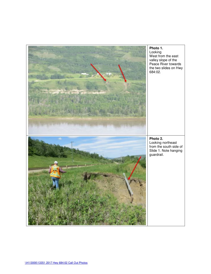

Photo 1. Looking West from the east valley slope of the Peace River towards the two slides on Hwy 684:02. Photo 2. Looking northeast from the south side of Slide 1. Note hanging guardrail. \\H\13000\13351 2017 Hwy 684:02 Call Out Photos
Photo 3. Looking northeast from the south side of Slide 1 down into the slide bowl. Some slow seepage and recent mud flow can be observed in the base of the bowl. Photo 4. Looking northeast from the south side of Slide 1. Some fresh slide debris and seepage can be seen below the till ledge is the base of the upper slide bowl. \\H\13000\13351 2017 Hwy 684:02 Call Out Photos
Photo 5. Looking southwest from the north side of Slide 1. The upper layer above the till surface is actively retrogressing. Photo 6. Looking southwest from the north side of Slide 1. The upper layer above the till surface is actively retrogressing towards Hwy 684:02. \\H\13000\13351 2017 Hwy 684:02 Call Out Photos
Photo 7. Looking northeast from the center of Slide 2. \\H\13000\13351 2017 Hwy 684:02 Call Out Photos
Photo 8. Looking southwest from the north side of Slide 2. The backscarp is currently at 7.5 m from the guardrail along Hwy 684:02. Photo 9. Looking southeast from the center of Slide 2. The south flank of the backscarp has been recently active with fresh debris accumulating below. \\H\13000\13351 2017 Hwy 684:02 Call Out Photos
Photo 10. Looking east along the center of the backscarp of Slide 2. The backscarp is about 14 m wide along the crest of valley the slope. \\H\13000\13351 2017 Hwy 684:02 Call Out Photos
Recommend
More recommend