
– or, on the importance of beinguser friendly Anne Marie Carstens The Danish Ministry of the Environment The Danish Ministry of the Environment The Geodata Agency anmca@gst.dk
• C • C ollectinguser viewpoints ollectinguser viewpoints • Definingusers • T • T argetted campaigns argetted campaigns • P artnerships • Why doesit take so long? And what to do?
• F • F rom 800 to 13.000 rom 800 to 13.000 users(before launching minecraft) minecraft) • Non geo-professionals • New types • New types of users– of users– new waysof helping • User-survey • User-survey • User tests • User tests
• Z • Z oom levels? oom levels? • The meaningof scale? • E • E levation? levation? • GI potential and usability • P rovidinga user friendly viewer • Be clear and outspoken – also if some • Be clear and outspoken – also if some products are merely accessible to the professional user professional user
• Decision makers– strategic level • F • F acilitators– project level acilitators– project level • Developers – technical level • Analysts – e.g. P roducing strategic insights for decision makers decision makers • Users – e.g. caseworkersusinggeodata for visualizationsand basic processing visualizationsand basic processing
• Health • Health • Insurrance • F • F inance inance • T eaching
C ollaboration between Danish between Danish Municipalities, Danish R egions, Health authorities Health authorities and the Geodata Agency Diabetes combined with low income – demo produced for the project by Atkins Danmark
• Hydrological elevation • Hydrological elevation model shows the damage done by cloudburst • Awareness • Awareness campaigns campaigns with with innovative partners demonstrating geodata potential potential
• T • T ransactions ransactions of real estate: of real estate: – Assesment of properties – Advisingclients – S olvency statements • T axes: – Pilot: employingspatial – Pilot: employingspatial analyses in the assesment of real estate value real estate value
• Universitiesand colleges: • Universitiesand colleges: – Workshop with stakeholders – Built a community for exchange of ideasand knowledge knowledge • E lementary schools: – C – C olaboration with the Ministry of E olaboration with the Ministry of E ducation ducation – P articipation in variouslearningfairs (audience both pupils both pupils and teachers) and teachers) – F ree data in a Minecraft world, via a network of teachersand the Danish Learning P ortal (E MU) https://www.youtube.com/watch?v=6rMebJWiNUQ
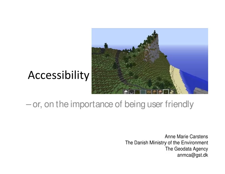
Denmark 1:1 in Minecraft , launched April 24 = 10.034 new users
• P • P artnerships artnerships with 23 private companies with 23 private companies • E xploring mutual business opportunities • Open dialogue on market and future plans • Open dialogue on market and future plans • C ommon goal: to bridge the gap between business business and technique and technique • We provide data, the market provide dedicated solutions to the end users • The GeodataAgency has to act in order to make things happen in the market
• The users, and potential users, • The users, and potential users, have all the answers • C ollaboration takes time, many meetings, and lots meetings, and lots of coffee of coffee • Plan the targetted campaign: – Find the right point of entry – Find the right point of entry – Investigate the digital maturity of your audience – Don’t bring solutions until much – Don’t bring solutions until much later – Talk less – Ask questions – Ask questions
Contact detail : Anne Marie Carstens The Danish Geodata Agency The Danish Geodata Agency anmca@gst.dk Photoes by Colourbox / GST Photoes by Colourbox / GST
Recommend
More recommend