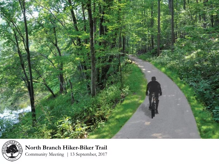

North Branch Hiker-Biker Trail Community Meeting | 13 September, 2017
Agenda • Introductions • Trail Overview • Project Timeline • Parking Lot Alternatives • Emory Lane Bikeway Extension Update • Next Steps/Feedback • Questions North Branch Hiker-Biker Trail Community Meeting | 13 September, 2017
OBGC Upper Rock Creek Community Park Trail Corridor Plan Approved 2008 North Branch Trail Future Trail (by Parks) HINES ROAD Preserve at Rock Creek Trail NORTH BRANCH Magruder STREAM VALLEY HS PARK ICC Bikeway North Branch Trail (Proposed) Lake Needwood Muncaster Mill Bikeway Emory Lane Bikeway Emory Lane Bikeway Extension ROCK CREEK Lake (Future) REGIONAL PARK Frank North Branch Trail (Proposed) Lakeside Trail Lake Frank Trail Connector Rock Creek Trail
Trail Plan Magruder High School NORTH BRANCH Preserve at Rock Creek Trail STREAM VALLEY PARK ICC Bikeway North Branch Trail, Northern Extension (Proposed) Muncaster Mill Bikeway Emory Lane Bikeway Smith Env. Emory Lane Bikeway Extension Ed. Center (Future) Meadowside North Branch Trail, Meadowside Nature Center Lane Connector (Proposed) Lake North Branch Trail (Proposed) Frank Lakeside Trail Lake Frank Trail Connector ROCK CREEK Rock Creek Trail REGIONAL PARK
Project Timeline • August, 2011 Lake Frank Trail Connector complete • 2011-2013 Facility Planning & public outreach • 27 June, 2013 Planning Board approval • August, 2013 Detailed design begins • 22 July, 2015 Received $2 Million FHWA TAP funding • 23 March, 2017 Norbeck Manor HOA meeting • July, 2017 TAP Executive Committee scope review • September, 2017 Community Outreach North Branch Hiker-Biker Trail Community Meeting | 13 September, 2017
Neighborhood Concerns Trailhead/Parking Lot • Proposed parking lot and trail pose security risks to adjacent homes: • Burglary • Drug Dealing • Illegal Dumping • Proposed parking lot will cause traffic congestion at Sweetbirch Drive. Emory Lane Bikeway Extension • At-grade crosswalk at Emory Lane is dangerous for cyclists, pedestrians and drivers. • Pedestrian crossing at Emory Lane will cause traffic congestion at Sweetbirch Drive. North Branch Hiker-Biker Trail Community Meeting | 13 September, 2017
Parking Lot Option A – Muncaster Mill Road A
Parking Lot Option A – Muncaster Mill Road
Parking Lot Option A – Muncaster Mill Road
Parking Lot Option A – Muncaster Mill Road BIKE MUNCASTER TRAIL PARKING DRIVEWAY LANE MILL ROAD
Parking Lot Option A – Muncaster Mill Road
Parking Lot Option B – Meadowside Lane B
Parking Lot Option B – Meadowside Lane LATHROP E. SMITH ENVIRONMENTAL EDUCATION CENTER
Parking Lot Option B – Meadowside Lane
Parking Lot Option B – Meadowside Lane MEADOW- FOREST FOREST SIDE LANE PARKING TRAIL
Parking Lot Option B – Meadowside Lane MEADOWSIDE NATURE CENTER
Alternative Comparison Site/Context Muncaster Mill Road Meadowside Lane Former home site Existing Condition Forest edge (previously disturbed) Muncaster Mill Road Meadowside Lane Connecting Roadway (State Route 115) (park road) Emory Lane Bikeway Muncaster Mill Connecting Trail(s) (future extension) to Bikeway (existing) to ICC Bikeway ICC Bikeway Residences (west); Norbeck Manor HOA Smith Center, Adjacent Properties (adjoining) Meadowside Nature Center (shared access) North Branch Hiker-Biker Trail Community Meeting | 13 September, 2017
Alternative Comparison Site Design Muncaster Mill Road Meadowside Lane Direct pull-off from Parking Space Access Dedicated driveway roadway Significant (retaining Grading Impacts Minimal fill walls necessary) Impacts to character Spaces visible from Visibility and setting of Muncaster Mill roadway Meadowside Lane Minimal removals Disturbance to edges Tree Impacts (previously disturbed of forest site) North Branch Hiker-Biker Trail Community Meeting | 13 September, 2017
Alternative Comparison Scope/Schedule Muncaster Mill Road Meadowside Lane SHA Utility Access Planning Board Approvals Required Permit approval None (included in Change order to Cost Implication Facility Plan) design consultant Spring 2018 Winter 2019 Schedule Impact construction start construction start (estimated) (estimated) Matthew Henson Trail Meadowside Nature Precedent – Layhill Road Lot Center Parking Lot North Branch Hiker-Biker Trail Community Meeting | 13 September, 2017
Project Schedule Task Muncaster Mill Road Meadowside Lane Public Comment September, 2017 September, 2017 Planning Board TBD ( Informational Only ) November, 2017 Permit Submissions December, 2017 April, 2018 Construction RFP May, 2018 September, 2018 Construction Begins Spring, 2018 Winter, 2019 Construction Complete Fall, 2019 Summer, 2020 North Branch Hiker-Biker Trail Community Meeting | 13 September, 2017
We want to hear from you! B A Visit www.montgomeryparks.org/projects/public-input/ and select the North Branch Hiker Biker Trail topic to comment.
Emory Lane Bikeway Extension
Emory Lane Bikeway Extension Possible Improvements along Muncaster Mill Road • Traffic Signal at Emory Lane • Enlarged median/refuge • Existing drive lanes to remain • 6-foot wide shoulder • 9-foot wide vegetative buffer • Stormwater management • 10-foot wide shared use path • South shoulder of Muncaster Mill Road is currently 25 feet wide.
Contact Information Aaron Feldman Project Manager (M-NCPPC) aaron.feldman@montgomeryparks.org 301-650-2887 Patricia Shepherd Capital Projects Manager (MCDOT) patricia.shepherd@montgomerycountymd.gov 240-777-7231 Mike Jones Park Manager mike.jones@montgomeryparks.org 301-563-7523 North Branch Hiker-Biker Trail Community Meeting | 13 September, 2017
Recommend
More recommend