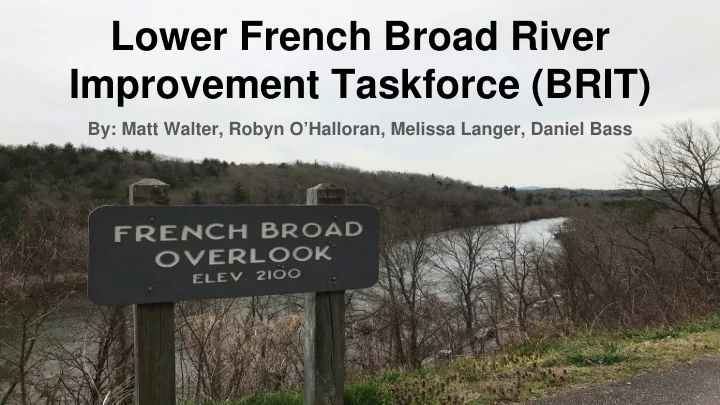

Lower French Broad River Improvement Taskforce (BRIT) By: Matt Walter, Robyn O’Halloran, Melissa Langer, Daniel Bass 1
Contents 1. Lower French Broad River Background 2. BRIT Mission Statement 3. Problem 1: Insufficient Data for Water Assessment 4. Problem 2: Nonpoint Source Pollution 5. Problem 3: Habitat Alteration 6. Project Goals 2
Background: Geography ● Located in Eastern Tennessee ● Contains 25 subwatersheds and 5 counties ● 2100 sq km ● Contains Great Smoky Mountains ● 210 mile French Broad River 3
Background: Land Use ● Dominated by forest ● Fair amount of agriculture ● Small amount of developed land 4
Background: Wildlife and Recreation ● Home to 131 rare plant and animal species ● Many of which are endangered ● Guided canoeing and rafting trips ● Fishing for Largemouth Bass, Trout, and Catfish 5
Mission Statement To protect the 131 rare plant and animal species present in the Lower French Broad River Watershed by removing them from the endangered species list while promoting recreational activities such as rafting and fishing. We hope to achieve our goals by 2040. 6
Insufficient Data for Water Assessment What are the causes of the problem? ● Only 7% of the Lower French Broad River Watershed is residential, meaning many areas are hard to access and there is a lack of people to monitor water quality throughout the area. Why is this a problem? ● 42% of waters within the Lower French Broad River Watershed have insufficient and outdated water data. ● The water quality assessment policies already in places do not assess streams that the Division of Water Pollution Control cannot access 7
Insufficient Data for Water Assessment How to improve this problem: ● Coordinate volunteers to monitor residential areas and other easily accessible areas of the watershed. ● Coordinate professionals to collect data at the current unmonitored areas that aren’t easily accessible. End goal: ● Update current information and consistently collect data for proper assessment of the watershed therefore the policies currently in place can represent the entire watershed 8
Nonpoint Source Pollution Why is this a problem? ● Nonpoint source pollution, mainly from runoff has caused many areas in the watershed to go over their Total Daily Maximum Loads through excessive nutrients and dissolved oxygen. ● Could damage the quality of Great Smoky Mountain National Park. ● Hard to find the source of pollution, so they can’t fine the polluters. What are the causes of the problem? ● Increasing urbanization, agricultural practices, and removal of riparian buffers has lead to an increase in nonpoint source pollution as well as erosion. ● This leads to decreased water quality. 9
Nonpoint Source Pollution How to improve this problem ● Reduce nonpoint source pollution from farms through educating farmers. ● Introduce new regulations that partake in corrective actions such as Best Management Practices. ○ Prevent new development on steep slopes to reduce erosion. ○ Prevent urbanization near the water. ● Promote ecotourism. ○ Use the land for recreational activities, not urbanization. End goal: ● Get the areas of the watershed that have exceeded their Total Daily Maximum Loads back below the limit to improve the 10 overall health of the area.
Habitat Alteration What are the causes of the problem? ● Removal of vegetation, removal of gravel bars, utilizing heavy equipment to clean river, impounding water in lakes and ponds, draining/filling wetlands and building dams. ● Largest contributor of the alteration is due to individual landowners and developers. Why is this a problem? ● Changing the physical and chemical structure of habitat within the the Lower French Broad River Watershed has lead to increased released sediment, increased dissolved oxygen, thermal alterations and loss in biodiversity. 11
Habitat Alteration How to improve this problem? ● Voluntary Measures: picking up litter and debris, participating in a trash clean-up day, planting native vegetation along stream, and avoiding extensive use of culverts and heavy equipment. ● Regulatory Measures: update zoning regulation to mandate a riparian buffer and regulate development into designated areas to protect the natural habitat. End goal: ● Halt habitat alterations to protect and maintain the vast biodiversity present in the Lower French Broad River 12
Goals G1: Consistently collect water assessment data. ● Improve volunteer coordination by reaching out to interest group in the area to collect data in easily accessed areas ● Establish a French Broad Water Monitoring position at the Tennessee Department of Environment and Conservation, Division of Water Pollution Control to collect data in the currently unmonitored areas. G2: Encourage Best Management Practices. ● Reduce nonpoint source pollution to get areas back below their Total Daily Maximum Loads through voluntary actions by landowner and volunteer groups and by new regulations that partake in corrective actions such as Best Management Practices. G3: Preserve habitat through updated zoning ● An update to zoning regulations will mandate and protect riparian buffers ● Condense urban growth and development into designated areas to protect natural habitats. 13
Mission Statement To protect the 131 rare plant and animal species present in the Lower French Broad River Watershed by removing them from the endangered species list while promoting recreational activities such as rafting and fishing. We hope to achieve our goals by 2040. 14
References Blue Ridge National Heritage Area. French Broad River . 2018. EPA. “Overview of Total Maximum Daily Loads (TMDLs).” EPA . Lower French Broad River Watershed (06010107) of the Tennessee River Basin watershed water quality management plan. 2008, United States, Congress, “Wild and Scenic Rivers: Authorized by the Wild and Scenic Rivers Act, Public Law 90-542, October 2, 1968, as Amended.” Wild and Scenic Rivers: Authorized by the Wild and Scenic Rivers Act, Public Law 90-542, October 2, 1968, as Amended , Dept. of the Interior, Bureau of Outdoor Recreation, 1975. “ Waste Management Plan for the Lower East Fork Poplar Creek Remedial Action Project Oak Ridge, Tennessee.” 1996, doi:10.2172/432789. “The Watershed Management Plan.” The Watershed Project Management Guide, 2002, doi:10.1201/9781420031645.ch7 15
Recommend
More recommend