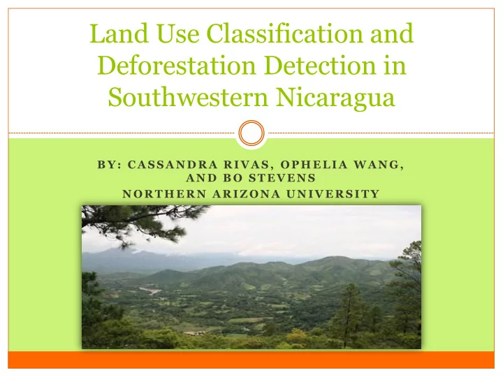

Land Use Classification and Deforestation Detection in Southwestern Nicaragua B Y : C A S S A N D R A R I V A S , O P H E L I A W A N G , A N D B O S T E V E N S N O R T H E R N A R I Z O N A U N I V E R S I T Y
Introduction/Background Rapid land use change in the tropics Deforestation Fragmentation Environmental degradation Determining current land use and temporal change is important Sustainable conservation and restoration planning
Research Objectives and Questions Objective: To delineate areas of vulnerability to change in SW Nicaragua, specifically areas of deforestation and natural regeneration between the years of 2000-2009 in order to inform future conservation and restoration efforts in the region. What are the land use patterns revealed in the land use/cover classification? How have the land use patterns changed since the year 2000? What are the current vulnerable areas of change?
Methods: Study Area Rivas Isthmus Paso del Istmo Ecosystems include: Dry-tropical forests, moist forested areas, and coastal mangroves Other land cover types include: Pasture, plantation, crops, and urban (Map sources: ArcMap 10.1; Paso Pacifico.org)
Methods: Field Data Collection & Classification Ground Referencing Data Imagery Collection SPOT, collected Jan-Feb 2009 Digitize roads and access Classification points Manual training polygons 398 data points collected; ENVI 4.7 RuleGen (Quest) assessed cover data at each Final Classes: point Wetland Urban Crop Pasture Plantation Young Regrowth Old Regrowth Young Secondary Forest Old Secondary Forest Accuracies and Kappa statistics
Methods: Change Detection & Cluster Analysis Land-use/cover classification 2000 (Sesnie et al. 2008) Post-classification change detection in ENVI Classification preparation for change detection analysis Plantation Hotspots/cold spots of change Cluster and Outlier Analysis using Moran’s I Neighborhood clustering score
Final 2009 Classification • Over all accuracy is 87.68% • Producers accuracies range 76.16-95.63% • Users accuracies range 76.34 - 95.52 % • Khat scores – overall and all individual classes except for wetland-mixed and old regrowth are in strong agreement
Forest Change (2000-2009) Forest Change 60 No Change 50 40 Change (%) 30 20 10 0 Crop Pasture Regrowth Plantation Forest Class Type
Forest to Pasture • Hotspots of change occur in the Northcentral part of the isthmus • Also in the southern region where last large tracks of forest occur despite rugged terrain • Cold spots occur throughout region
Forest to Regrowth • Hot spots occur in pockets along the rugged Pacific mountains • Cold spots occur in throughout the intense topography • At some point this forest was converted into another class and now regrowing
Forest to Plantation • Hotspots occur in a few pockets to the north and in the agricultural lake side area Cold spots occur in the southern • area where old secondary forest remain*
Regrowth Change (2000-2009) Regrowth Change 50 45 40 35 No Change (%) 30 Change 25 20 15 10 5 0 Crop Pasture Regrowth Plantation Forest Class Type
Regrowth to Pasture • Change is scattered throughout and is prolific • Reveals the strong influence of this class in the area • Hot spots are specifically located in the north central region
Regrowth to Forest • Hotspots are taking place in the southern part of the isthmus - Important for increasing forest near other older forest - Reveals the change in the area despite rugged topography
Discussion Change Detection 50% of the secondary forest was converted into other classes Deforestation is still occurring at a high rate approximately 5.6% per year Regrowth is converted mainly to pasture (prevailing force) However, is also maturing into secondary forest (23%)
Conclusions Future conservation efforts should utilize this data for a more comprehensive conservation assessment Deforestation and rapid land use change is continuing to occur throughout this dynamic landscape Conservation and restoration efforts must be efficient given limitations Cluster (hotspot/coldspot) analysis helped in defining specific areas of change This study is a unique example of leveraging resources and collaboration to assess land use change for practical conservation
Thank you NAU & the Lab of Landscape Ecology and Conservation Biology My advisors Ophelia Wang and Tom Sisk Paso Pacifico My volunteers and Nicaraguan field guides
Recommend
More recommend