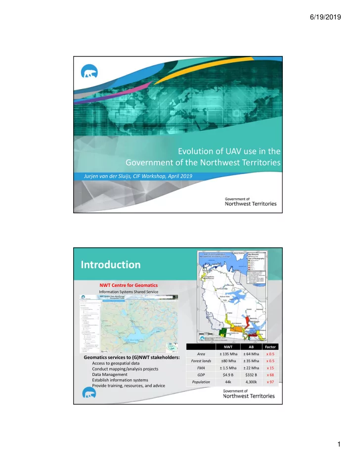

6/19/2019 Evolution of UAV use in the Government of the Northwest Territories Jurjen van der Sluijs, CIF Workshop, April 2019 Introduction NWT Centre for Geomatics Information Systems Shared Service NWT AB Factor Area ± 135 Mha ± 64 Mha x 0.5 Geomatics services to (G)NWT stakeholders: Forest lands ±80 Mha ± 35 Mha x 0.5 Access to geospatial data FMA ± 1.5 Mha ± 22 Mha x 15 Conduct mapping/analysis projects Data Management GDP $4.9 B $332 B x 68 Establish information systems Population 44k 4,300k x 97 Provide training, resources, and advice 1
6/19/2019 Context 1948 ‐ 2012 Temperature Trends , Environment and Climate Change Canada NWTAC: The total costs of the permafrost impacts on public assets in the 33 communities: $1.3 billion (excl. private and industry ownerships, highways/bridges) Economic impacts? Ecological impacts? Cultural impacts? Why UAVs/drones? ( Remotely Piloted Aircraft Systems; RPAS ) Improves situational awareness UAS maximize monitoring opportunity while minimizing risk (site characterization) Reduce risk to staff ITH Erosion/ponding: August 2016 Increase data detail / availability Reduce workload / cost UAS Inspection Limited ground view 2
6/19/2019 UAS Monitoring of Retrogressive Thaw Slumps (Behaviour in space & time) Fill Debris Tongue Slumps Failure precursor Embankment Failure 2015 2016 Where we are today: Path to Enablement Situational analysis of issues and potential solution scenarios Technical To scan internal & external Review regulatory requirements and costs to meet solution scenarios environment Investigation Purchase low ‐ cost option to demonstrate range of solution scenarios (2015 ‐ 2016) Obtain regulatory approval for missions (e.g., SFOC, exempt missions) To demonstrate RPAS utility Present and demonstrate solution products to Senior Management Staff Approval Provide basic costing and ROI To gain management support (Feb 2017) Obtain Senior Management support to proceed with Phase Expansion Initial recruitment of UAS pilots Program essentials Program Conduct ground ‐ and flight ‐ schools Deployment Draft UAS Policy to manage expectations and limit use beyond recruits To obtain participant input Develop tracking system with information about pilots, flights, equipment (2017 ‐ 2018) To establish capacity Conduct Phase evaluation using metrics, identify challenges/solutions Refine Program goals, timelines, and human/financial capacity assessment Renew blanket SFOC Program Procure additional RPAS kits To maintain Program Define program champions who acquire expertise in program elements Management To maintain management Further refine Draft Policy, SOP, manuals, tracking system, training (2018 ‐ 2019) Expand partnerships with industry, academia for R&D and economic diversification support Monitor indicators of success and establish program management framework Continued experience sharing via workshops 3
6/19/2019 Standardized Manuals / SOPs / checklists (blanket) SFOC applications Adapted to remote operations • • Company Operations Manual – Site survey, Risk Assessment, Consent – NAV Canada contact procedures – Security Plan – Emergency Plan Emergency procedures – Bell Canada (2019) • Flight Manual – System specifications – Operating limitations – Sub ‐ systems – Assembly – Disassembly – Standard Operating Procedures – Maintenance log – Abnormal Occurrence Maintenance log http://www3.telus.net/cschwab/viewer/canadian_airspace.html Capacity building (internal) Defined a Training Program with emphasis on knowledge and skills ‐ based training Capacity in all GNWT Administrative Regions Capacity in LND/ENR departments across Inuvik 2017 wide range of disciplines (R.M’s, CLA’s, Wildlife, Waters, Forest mgmt., Geomatics) 16 staff classified as PIC (10 LND, 6 ENR) Additional 15 LND/ENR/INF/ECE staff expressed interest in training Fort Smith 2018 4
6/19/2019 Demonstration of Operational Results (March 2019) Enterprise FireSmart Fire Behaviour Research Plots Enterprise Community Wildfire Protection Plan (2010) Windrows of slash UAS Monitoring of Forest Fire Burn Severity Scaling ground observations via UAS to Landsat for regional assessments % Green Canopy % Charred Surface 5
6/19/2019 Forest Hydrology and Injection Ice ( Dempster Highway KM 213 ) Frost front S. Kokelj R. Connon Permafrost table * Ground ice formed during active ‐ layer freezeback, where confining aquifer is developed between permafrost table and downward frost front Forest Hydrology and Injection Ice ( Dempster Highway KM 213 ) 6
6/19/2019 Flexible Procurement Options for Agile Technologies (External capacity) Supply Service Arrangement for flexible/timely drone services by northern vendors • Airport Operations Manual (AOM) • Obstacle Limitation Surveys (OLS) • Rapid response Ulukhaktuk, NWT Deline, NWT Fort McPherson, NWT Ollerhead & Associates Ltd. Alietum Ltd. Program Cost considerations Item (Phantom 4 Pro; Obliques / Mapping) Operational kit $2,689 Air band receiver $223 iPad (ground control station) $718 Ground school / flight school $1,575 x 3 staff Insurance $512/year Total (excl. time) $8,867 Photogrammetry software? $11,600 + annual maintenance Remote sensing workstation? $6,000 Differential GPS for ground control? $40,000 GIS Online Diploma (if needed) $5,500 x 3 staff Total additional $74,100 14 7
6/19/2019 Data Management considerations There is a cost to data processing and storing – Summer 2016: 719 GB – GNWT cost of back ‐ up vector storage: $2/GB/month • SQL server supporting enterprise users w. routine operations – One summers’ worth of data: $17,250 / year / perpetuity? There is a cost to not knowing how the data was generated: – Metadata There is a cost to not finding data (improper archiving) – Data discoverability / OGC standards compliance – Raster Data Management and Publishing (e.g., GeoTIF, WMS, WCS) – Metadata harvesting tools (e.g., GeoNetwork) – Cloud storage? Conclusion Evolution of Capacity and Use 2015 2019 Multi-rotor (visible only) Multi-rotor / fixed-wing (visible, multispectral, thermal) Reliance on federal collaborations Internal and external capacity as well as strong ongoing collaborations for deployment and analyses Ice-face at the Semi-stable headwall headwall Drainage encroachment Saturated fine- grained tills, Undisturbed Ice-face Quickly riparian warming at the drainage Peat headwall deposit Drainage tracks Fraser et al. (2015, 2016) 8
Recommend
More recommend