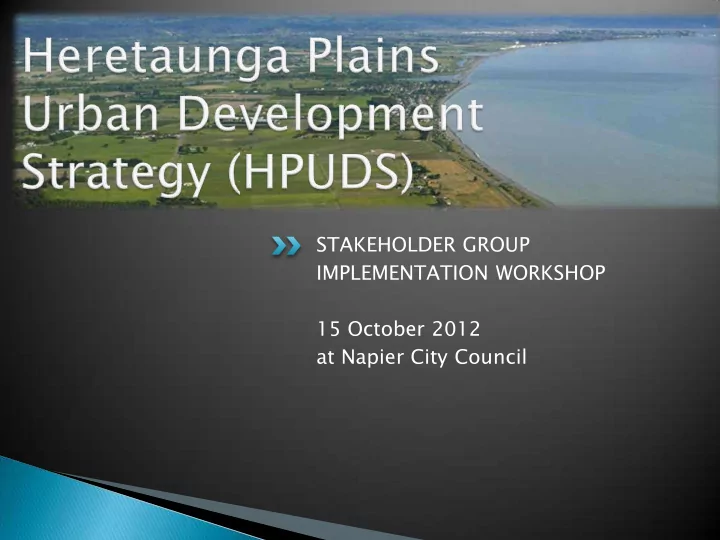

STAKEHOLDER GROUP IMPLEMENTATION WORKSHOP 15 October 2012 at Napier City Council
Welcome HPUDS - a refresher Overview of Implementation Programme Key projects for 2012-15 Q and A session
Joint initiative between HDC, NCC and HBRC to plan for urban development on the Heretaunga Plains and surrounds. Previous urban development planning has been done independently. The current Hastings and Napier Urban Development Strategies cater for urban growth until 2015-21. HPUDS will pick up from 2015 and project urban development needs for the next 30 years and beyond.
Ensures that local authorities work together to plan for growth on the Heretaunga Plains and surrounds Considers infrastructure, social, cultural and environmental network requirements that are part of the urban fabric Recognises the value of the Heretaunga Plains soil resource Considers global influences such as peak oil and climate change Focuses on urban centres, but includes coastal and peripheral communities Identifies the settlement pattern for 2015-2045 Adaptive based on regular monitoring and reviews
The Heretaunga Plains - including the small rural settlements on the fringes such as Maraekakaho, Puketapu and Paki Paki. The coastal settlements of Waimarama, Ocean Beach, Te Awanga and Haumoana. Waipatiki on the northern boundary and Te Hauke on the Southern Boundary also fall into the study area.
Strengths of the Heretaunga Plains lies in the: ◦ The high value and versatility of the soils ◦ Good water supply ◦ Temperate climate ◦ The industrial base of the agriculture and horticulture sectors
Characterised by single dwelling greenfields subdivision Often on flat and lightly sloping elevated sites; including on productive land Intensification has been through 1:2 infill developments Rural residential site are of a higher value than equivalent production blocks, pushing up demand for lifestyle sites
8000 additional households A 6.3% population increase A 68% increase in the aging population 65 years plus A decline in all other age groups A 25% increase in the Maori population Continued primary sector led employment growth
Community recognition that both the soils and water resource are finite and under increasing pressure and should be better managed. The need to take a sub regional view to the growth needs over a longer period of time for balanced growth. The need to identify where the knowledge gaps are in planning for the long term growth. Accepting that the employment base of the Heretaunga Plains will continue to rely on land based industry. Establishing appropriate and planned responses to long term issues such as climate change and energy efficiencies.
Targets over a 30 year period: ◦ 60% will be in medium density or intensified housing, ◦ 35% will be in Greenfield development areas, and ◦ 5% will be in the rural residential sites.
Hastings 2016-2046 2021 2026 2031 2036 2041 2046 % Full Greenfields 1934 499 524 381 273 148 110 Lyndhurst 208 208 100.00 Lyndhurst Road 230 230 100.00 Howard Street 80 80 100.00 Kaiapo Road 300 31 112 157 100.00 Murdoch Road / Copeland 230 79 131 91.30 Irongate / York 270 82 98 69 92.22 Arataki 0 Arataki Extension 220 220 100.00 Middle Road / Iona / Hills 140 140 100.00 Havelock North Hills 100 25 25 25 25 100.00 Omahu (marae based) 24 6 5 5 5 3 100.00 Bridge Pa (marae based) 24 6 5 5 5 3 100.00 Total 1826 459 494 351 248 133 100 1785
Hastings 2016-2046 2021 2026 2031 2036 2041 2046 % Full Coastal Waimarama 20 5 5 5 5 100 Te Awanga / Haumoana 130 35 25 25 20 15 10 100 Total 150 40 30 30 25 15 10 150 Total Greenfields/Coastal 1976 499 524 381 273 148 110 1935
Napier 2016-2046 2021 2026 2031 2036 2041 2046 Greenfields 333 349 254 182 98 73 1289 Parklands/Park Island 250 150 100 100.00 Park Island 80 50 30 100.00 Taradale Hills 345 10 29 32 22 9 3 30.43 Te Awa 962 123 180 212 150 79 60 83.58 The Loop 350 0.00 Riverbend 258 0.00 Total 1987 333 339 244 172 88 63 1239
Napier 2016-2046 2021 2026 2031 2036 2041 2046 Coastal Bayview 80 0 10 10 10 10 10 62.50 Total Greenfields/Coastal 2067 333 349 254 182 98 73 1289 Total Study Area 4043 832 873 635 455 246 183 3224
Themes es Managing implementation Planning for and delivering on the settlement pattern Building supportive infrastructure Creating healthy living environments Protecting and enhancing natural systems Adapting to change and dealing with risk Acknowledging and providing for Manawhenua aspirations
Regional Policy Statement Change 4 – Built Environment Regional Land Transport Strategy and Regional Land Transport Programme District Plan harmonisation Hastings District Plan review Hastings Medium Density Study Te Awa Structure Plan Jervoistown Plan Change Structure plans for Arataki Extension, Lyndhurst Extension, Kaiapo Road Te Awanga-Haumoana Master Plan Omahu Industrial Plan Change
Communic ication ation and Engag agem ement ent Annual stakeholder meetings Implementation Programme and links on website www.hpuds.co.nz Review 2016 subject to census
Recommend
More recommend