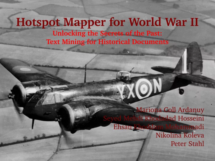

Hotspot Mapper for World War II Unlocking the Secrets of the Past: Text Mining for Historical Documents Mariona Coll Ardanuy Seyed Mehdi Khodadad Hosseini Ehsan Khoddam Mohammadi Nikolina Koleva Peter Stahl
Demo 2
Historical Motivation ● August 27 th 1939: Imminence of war, underground War Rooms in London became fully operational ● September 3 rd 1939: Britain declared war to Germany ● Cabinet Room: Prime Minister, military strategists and Government ministers «This is the room plotted the war there: 115 from which I will cabinet meetings, 226 documents issued direct the war» 3
The Collection ● British Cabinet Papers, part of The National Archives ● 216 texts from the period 1939-1945, total of 842,496 words ● Written in contemporary and descriptive style ● Development and magnitude of events, fears and reliefs, war strategy «On the previous night the enemy air activity had been rather heavier than usual, and amongst places hit was St. Paul's Cathedral, where the choir and altar had been badly damaged. Discussion ensued as to whether publicity should be given to the damage to St. Paul's. It was important not to give the enemy information of operational value by publishing reports of damage caused» 4 Blitz, October 10 th 1940
Our Project: an Approach to History ● WWII: Probably the most-studied conflict ever ● User-friendly access to primary sources on the development of the war ● Interesting both for historians and non-experts ● Historians: different perspective of the conflict, easy access to the primary sources ● Non-experts: overview of the conflict, what countries played into it, etc. 5
Overview ● Motivation ● System architecture ● Components ● Preprocessor ● Location Recognition ● Coordinates Extraction ● Location Disambiguation ● Visualizer ● Evaluation ● Future work 6
System architecture 7
Database and MySQL 8
Logical Model Diagram 9
Physical Model Diagram 10
Database Diagram 11
Preprocessor ● Input: 216 text files converted from OCRed pdfs ● Stored following attributes for each document in the data base: ● url of the original pdf document ● month and year (when was the document written) ● preprocessed text 12
Preprocessor Filtering tables with names of present people 13
Location Recognizer ● Integrate Stanford NER ● Use CoNLL model – Precision: 93.40 for a random document – Recall: 83.33 1. extracts the tagged locations of the output 2. filters acronyms (PVS, PX, S.C, etc.) 3. filters relative locations (East, West, South, etc.) 4. lists the found locations for each document 14
Location Disambiguation Problems ● Ambiguities: ● Different names for same location (temporal ambiguity, political ambiguity,...) Petrograd vs. St. Petersburg ● Same name for different locations (local ambiguity) Frankfurt (Am Main) vs. Frankfurt (Oder) 15
Location Disambiguation Solutions ● Temporal ambiguity: use Wikipedia and redirection links ● Local ambiguity: 1) Document-Wikipedia similarity by measuring similarity of feature vectors where dimensions are words 2) Document-Wikipedia similarity by measuring similarity of feature vectors where dimensions are locations 3) Minimal distance set of name 16
Using Wikipedia as Knowledge Base ● Employing linking structure of entries to find the current name. ● Employing entries context for disambiguating. ● Extracting Coordinates from entries. ● We used dump of English Wikipedia database and JWPL to exploit Wikipedia information. (expert suggestion: do it on server!) 17
Location Disambiguation Diagram 18
Visualization ● Dynamic Google Maps API ● Web Framework Django ● Access the database ● Create dynamic HTML pages to fill with the data 19
Evaluation Next Episode 20
Future Work ● In order to improve the accuracy of our method: ● OCR Correction ● Train our own language model for the NER ● Apply string correction and spell checking to the list of locations to avoid → Marseille ) spelling variation ( Marseilles ● Other improvements: ● Extract types of locations (using another NER system: SuperSense Tagger ) ● Look for other different strategies to find candidates and disambiguating them (not considering locations as independent entities) ● Use other search engines such as Google or Yahoo to help Wikipedia finding and extracting the disambiguated coordinates ● Set a hierarchy of locations so that the user can see all the locations inside a country or a continent 21
References ● Image Sources: ● Bristol Blenheim, RAF Museum Hendon ● Churchill Picture from http://charlespaolino.files.wordpress.com/2011/12/war-churchill.jpg ● St. Paul's Cathedral during the Blitz, Daily Mail 31 December 1940 ● The iconic photo taken on V-J Day in 1945, Alfred Eisenstaedt/Time & Life Pictures, via Getty Images ● Other: ● Cabinet War Room Museum: http://www.iwm.org.uk/exhibitions/the-cabinet-war-rooms ● British Cabinet Papers from the National Archives: http://www.nationalarchives.gov.uk/cabinetpapers/ ● Stanford NER: http://nlp.stanford.edu/software/CRF-NER.shtml ● SuperSense Tagger NER: http://medialab.di.unipi.it/wiki/SuperSense_Tagger ● English Wikipedia: http://en.wikipedia.org/wiki/Main_Page ● Dynamic Google Maps API: http://googlemapsapi.blogspot.com/2007/03/creating-dynamic-client-side-maps.html ● Web Framework Django: https://www.djangoproject.com/ ● MySQL: http://www.mysql.com/ 22
THE END Thank you for your attention! 23
Recommend
More recommend