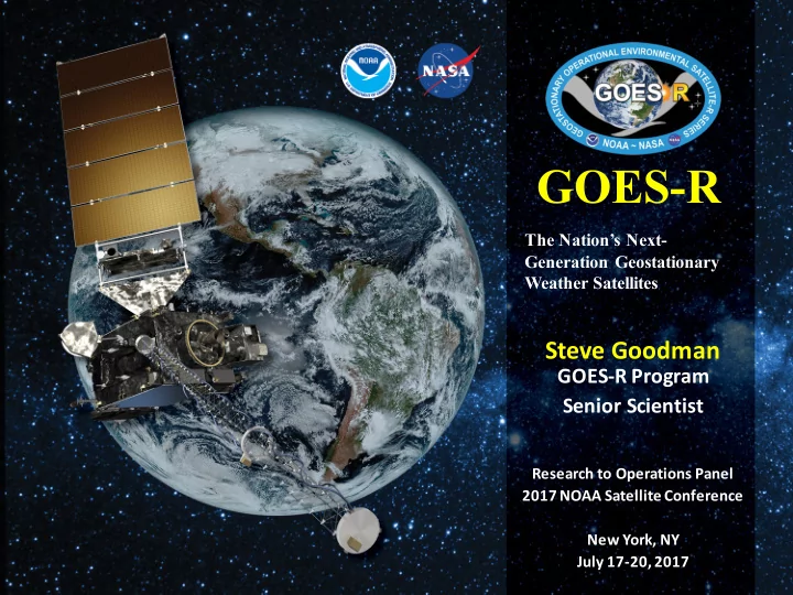

GOES-R The Nation’s Next- Generation Geostationary Weather Satellites Steve Goodman GOES-R Program Senior Scientist Research to Operations Panel 2017 NOAA Satellite Conference New York, NY July 17-20, 2017
The GOES-R Proving Ground- GRPG Collaborative effort between the GOES-R Program Office, selected NOAA Cooperative Institutes, • NWS forecast offices, NCEP National Centers, NASA, JCSDA, and NOAA Testbeds User readiness testing of GOES-R baseline products and future capabilities prior to launch • Proxy, simulated GOES-R products tested and evaluated in an operational environment • Satellite Champions at NWS National Centers, Training for users, Prepare for AWIPS • Priority Focus in 2017- Post Launch Evaluation of GOES-R ABI and GLM
As of June 13, 2017 GOES-16 L2 Science Product Validation Status ABI L2+ Products Beta Prov Full ABI L2+ Products Beta Prov Full Cloud and Moisture Imagery (CMI) Downward S/W Radiation: Surface 2/28/17 6/1/17 9/3/18 6/23/17 3/16/18 9/3/18 and SectorizedCMI (KPP) Aerosol Detection (Smoke & Dust) Fire/Hot Spot Characterization 5/24/17 1/26/18 9/3/18 5/24/17 1/26/18 9/3/18 Aerosol Optical Depth (AOD) Hurricane Intensity Estimation 5/24/17 1/26/18 9/3/18 9/8/17 12/1/17 9/3/18 Clear Sky Mask Land Surface Temperature 4/19/17 12/1/17 9/3/18 5/24/17 1/26/18 9/3/18 Cloud Optical Depth Legacy Vertical Moisture Profile 6/8/17 2/23/18 9/3/18 5/16/17 12/22/17 9/3/18 Cloud Particle Size Distribution Legacy Vertical Temperature Profile 6/8/17 2/23/18 9/3/18 5/16/17 12/22/17 9/3/18 Cloud Top Height Rainfall Rate/QPE 5/16/17 12/22/17 9/3/18 8/1/17 TBD 9/3/18 Cloud Top Phase Reflected S/W Radiation: TOA 5/16/17 12/22/17 9/3/18 6/23/17 3/16/18 9/3/18 Cloud Top Pressure Sea Surface Temperature 5/16/17 12/22/17 9/3/18 6/14/17 1/26/18 9/3/18 Cloud Top Temperature Snow Cover 5/16/17 12/22/17 9/3/18 12/30/17* 3/30/18* 9/3/18* Derived Motion Winds Total Precipitable Water 6/8/17 2/23/18 9/3/18 5/16/17 12/22/17 9/3/18 Derived Stability Indices Volcanic Ash: Detection and Height 5/16/17 12/22/17 9/3/18 8/1/17 2/23/18 9/3/18 Products tested in the Proving Ground focused on those used by forecasters in daily or routine operational decision-making Current as of June 12, 2017. Bold Dates = New since last month. Validation Maturity Levels: Not Validated Beta Maturity Provisional Maturity Full Maturity *Dependent upon non-baseline Albedo Product which is in development 3
Best Practices/Lessons Learned GRPG The most successful part of the Proving Ground at the MPS - Marine and Precipitation Satellite demonstrations (OPC, WPC, SAB, TAFB) continues to be the confidence that the forecasters have gained in using and analyzing these new satellite products. For example, the RGB Air Mass product is being used routinely at all four centers and the forecasters and analysts are mentioning its use in the official forecast products. In addition, the GOES-14 SRSORs and convective products have earned their way into the forecaster’s routines and the feedback usually includes the “can we ask for more SRSOR data” or “I can’t wait to see the Geostationary Lightning Mapper imagery over the oceans.” This is surely a sign that the Proving Ground efforts are having a significant impact on forecastoperationsat OPC, SAB, TAFB, and WPC.
ABI 30-sec meso Cordoba, Argentina 21-FEB-2017
GLM Movie of Texas Storms 14-FEB-2017 6
GLM 1-hour Flash Event Energy Density for Texas Storms 14-FEB-2017 t 7
Use of higher temporal Courtesy Jason Apke resolutions available with SRSOR allows for mAMV collection in highly transient target regions
Now vorticity, same contouring Courtesy Jason Apke scheme, cyclonic is red, anticyclonic is blue. We call this signature a Cloud Top Vorticity “Couplet” (Apke et al. 2015, in press )
Imager: 16 Channels for Improved Feature Discrimination Blowing Dust courtesy of S. Miller Blowing Dust - Colorado 27 April 2014 at 2038 Z 10
Thank you For more information visit www.goes-r.gov www.facebook.com/GOESRsatellite www.youtube.com/user/NOAASatellites twitter.com/NOAASatellites www.flickr.com/photos/noaasatellites 11
Recommend
More recommend