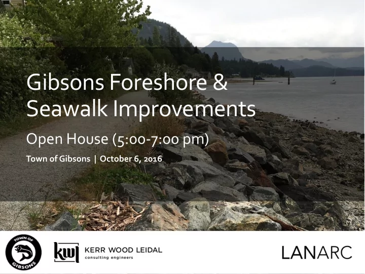

Gibsons Foreshore & Seawalk Improvements Open House (5:00-7:00 pm) Town of Gibsons | October 6, 2016 Town of Gibsons – Foreshore & Seawalk Improvements | 1
Session 3 : Open House (Charrette Participants, Designers, Public) Charrette Overview: 1.0 Morning Session = Charrette Participants & Designers 2.0 Afternoon Session = Designers (Optional for Charrette Participants) 3.0 Evening Session = Open House (Charrette Participants, Designers, and Interested Public)
3.0 Evening Agenda Open House 5:00 pm Doors Open to View Display (Informal Discussion) 5:30 pm Presentation Clarified Objectives, Design Results (Options & Implementation Phasing) 6:15 pm Small Group Discussion of Results Focused on Questions in a Response Form 6:30 pm Small Group Reporting Consensus Points and Remaining Issues 7:00 pm Wrap-up & Next Steps
Charrette Objectives Review public input received Share info on constraints & opportunities Work creatively to explore all possible solutions After discussion, integrate the best ideas into two design concepts .
Study Area 5 From Gibsons Wharf to Armours Beach June 16, 2016
Study Area 6 Foreshore “generally refers to the area between the natural boundary of the ocean and the lowest tides” Access Sewer Slope June 16, 2016
Historical Uses 7 Wharf at Gibsons Landing (visible: large crowd waiting for the ferry with some waterfront buildings, c1952) Lower Gibsons with Tanker at Wharf (visible: Ballentine Block, Methodist church, Hill's Marine Shop, Marina House & other buildings along waterfront to Armours Beach, c1950) Waterfront and Shoreline Buildings (visible: immediately East of the Wharf looking towards Armours Beach and Soames Hill, c1950) Photos (#2211, 423, 541) Courtesy of the Sunshine June 16, 2016 Coast Museum & Archives
Foreshore Today 8 Ecosystem Services for a Range of Uses • Part of the marine ecosystem (fish and eelgrass) • Infrastructure servicing corridor (sanitary sewer) • Public recreation trail (oceanfront walkway) June 16, 2016
Regulatory Constraints 9 Coastal Shore Jurisdiction in BC June 16, 2016
GreenShores Approach for Coastal Development • A tool for developing the shore while protecting natural shorelines and habitats • Guiding principles: o Preserving the integrity or connectivity of shoreline processes o Maintaining or enhancing habitat diversity and function o Minimizing or reducing pollutants to the environment o Reducing cumulative impacts to the shoreline environment Town of Gibsons – Foreshore & Seawalk Improvements | 10
Shore zones support important biological functions Sandlance, food for salmon, spawn on beaches R. Hocken R. Hocken Feeding and resting habitat for migratory birds Town of Gibsons – Foreshore & Seawalk Improvements | 11
Design Constraints 12 Sanitary Sewer • Fixed alignment of sanitary sewer in access road • May require eventual replacement or relocating Access (Maintenance and Seawalk) • Very limited room between properties and shore • Riprap protecting the walkway and sewer pipe below is largely intact but needs upgrade for access • Small section in front of Cole’s Marina to be upgraded Armours Beach • Lock-block retaining wall to be reviewed with consideration for GreenShores approach • Beach area access to be integrated to new foreshore approach June 16, 2016
GreenShores Approach for Coastal Development • A tool for developing the shore while protecting natural shorelines and habitats • Guiding principles: o Preserving the integrity or connectivity of shoreline processes o Maintaining or enhancing habitat diversity and function o Minimizing or reducing pollutants to the environment o Reducing cumulative impacts to the shoreline environment Town of Gibsons – Foreshore & Seawalk Improvements | 13
Future Character? Future Character? More natural tree/shrub backshore or More gentle built shoreline?
Design Charrette Outcomes • Enhance foreshore “ Green Shores” where possible • Protect Eelgrass area • Natural vegetation between walkway and water • Improve Armours Beach Area (more sand,swimming and amenities) • Provide a better visitor experience (parking, trails, flow, public art) • Improve access from Grandma’s Pub end • Increased access for mobility challenges (Funicular rail?) • Improve educational opportunities • Connect history and beachcomer angle
Design Criteria Questions we pondered? Define Criteria What design life? 25, 50, 100 years? • Eco Asset What flood level do we chose? • Habitat protection What elevation for walkway/service road? • Riparian Habitat benches and natural features? Future Access points? Walkway width? Service enhancement Characte? road width? • Aesthetics and How do we adapt to today but plan for Recreation future where building are too low now? • Stability What about filling on private land? • Constructability • Cost 3.5m trail crest intermediate elevation? 4.5 m wide travel lane including 1 m green space Habitat benches in key areas Viewing points
Concept Designs Future Characte?
Small Group Discussion Self-select small groups of ~8 people Look for a group where you will hear new ideas and influence people new to you!
Discussion Guide Values to Consider for Evaluating the Concepts • Safety of trail use ~15 mins discussion in small groups, • Accessibility (walking, jogging, then reporting back cycling, inline skates, disabled?) to large group on: • Maximum views of the waterfront Consensus Points • Minimum environmental impact Remaining Issues (restoration?)
Reporting Back (from small groups) • Consensus Points? • Remaining Issues?
Next Steps Technical review of concepts High-level cost estimating Informal discussion with approval agencies Evaluation / combination of leading ideas into preferred Design Concept Compilation into Draft Recommendations Public Review Refinement and Recommendations to Council
Thank you!
Recommend
More recommend