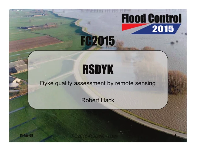

FC2015 RSDYK Dyke quality assessment by remote sensing Robert Hack Robert Hack 14-Apr-09 1 FC2015-RSDYK - Hack
Pilot project: RSDYK2008 Trial to establish whether remote sensing in combination with geological knowledge can be used for quality assessment • Brief literature review • Remote sensing data acquisition in different seasons • Borehole, CPT, geophysics for ground truth • Brief preliminary analyses 2 FC2015-RSDYK - Hack 14-Apr-09
Test sites in Reeuwijk – Zuid Holland (map: Routenet-Routeplan, http://www.routenet.nl ; 16 Feb 2009) 3 FC2015-RSDYK - Hack 14-Apr-09
Test sites Area: Partially excavated for peat excavation Tempeldijk = “veenkade” Location: North – No known problems South – Seepage (“kwel”) 4 FC2015-RSDYK - Hack 14-Apr-09
Geology G0: Holland peat C2: Holland peat on Callais III Deposits (tidal flat deposits) on an alternation of Holland peat and Gorkum deposits C2..: Holland peat on Callais III Deposits (tidal flat deposits) on Gorkum deposits (channel deposits) rC0: Holland peat on Gorkum deposits (channel deposits) Geological map of the area around Reeuwijk (after Bosch and Kok, 1994) 5 FC2015-RSDYK - Hack 14-Apr-09
Tempeldijk a Poles (20m Canal apart) Main body of the dyke STING R1/IP Electrodes b attached by multi cables A 2-D electrical imaging survey on the Tempeldijk-North c Visual images of Tempeldijk-South showing the difference in the apparent surface roughness in (a) August 15, 2007, (b) October 31, 2007 and (c) December 13, 2007 field campaigns. 6 FC2015-RSDYK - Hack 14-Apr-09
Tempeldijk - temperature a a b b c c Tempeldijk-North Tempeldijk-South 7 FC2015-RSDYK - Hack 14-Apr-09
Subsurface – Tempeldijk - South 8 FC2015-RSDYK - Hack 14-Apr-09
Conclusions • All surface and subsurface investigations the Tempeldijk-South surface and subsurface structure are more irregular which are due to or indicate “problems’ such as “kwel” and subsidence. • The thermal infrared images of Tempeldijk-South showed a layered structure which is reflecting the subsurface structure of the dyke. The layered structure was detectible likely because excess water was present in some of the layers. • Visual images showed differences in vegetation cover at locations where excess water is likely present. • The gamma ray survey shows a pattern that is likely related to the real subsurface structure, but further investigations are required to determine the exact nature of this relation. • Lidar surveys are probably accurate enough to determine surface patterns with high detail. • Reflectance is highly depending on the vegetation properties such as the leaf area, biomass, chlorophyll concentration in leaves, plant productivity, vegetation cover, accumulated rainfall etc. • Position of the sun angle, apparent roughness and wind direction are also some of the external factors that affect the true reflectance. • ����������������������������������������������������������������������������������� the surface area and the greater the emission. 9 FC2015-RSDYK - Hack 14-Apr-09
RSDYK2009-2012 • Pilot project gives enough indications for further investigations and research • 2 full-time PhD students • Relations between subsurface and remote sensing on dykes • Relations between groundwater and remote sensing on dykes • Relations quality assessment dykes and remote sensing 10 FC2015-RSDYK - Hack 14-Apr-09
Recommend
More recommend