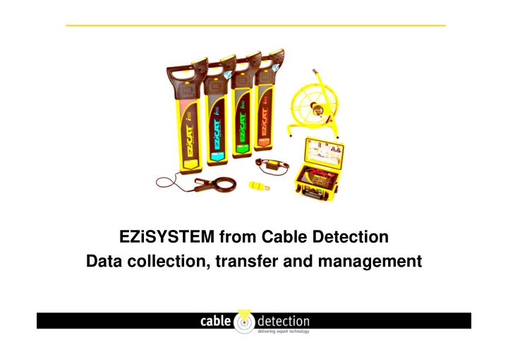

EZiSYSTEM from Cable Detection Data collection, transfer and management
Data is recorded during use of EZiCAT and EZiTEX
User opens LOGICAT app on phone
User searches for EZiCAT and enters name
EZiCAT is paired with phone
User chooses dates of data to send (default same day)
Data is uploaded from EZiCAT to Phone
Uploaded files are selected for sending (select all)
Files are prepared for sending
Select whether to send via Bluetooth or email
Enter email address (defaults to last address) and send
Files are received at selected email address
EZiCAT Analysis – Data from a survey in Power mode
EZiCAT Analysis – Data from a survey in 33kHz mode
EZiCAT Dashboard Analysis
EZiCAT Incident Report
EZiCAT Analysis – Latitude and Longitude
EZiCAT Map Report
Google Earth job locations
Google Earth survey location and modes used Allows you to upload the stored records to view the locators use, simply upload all records or search by date. The LOGiCAT Software package consists of: LOGiCAT CD-ROM Bluetooth Dongle Software User Manual Information extracted: GPS Positioning – Identifies where the ground survey took place. - NEW Time & Date Information – Identifies when and at what time ground surveys were conducted Usage Duration – Determines how long survey teams searched for buried utilities and discovers actual product utilisation.
Recent Trial - EZiCAT Dashboard Analysis
Recent Trial – Only power mode used
Recent Trial – Only transmitter mode used
Recent Trial – Good use of all modes
Recommend
More recommend