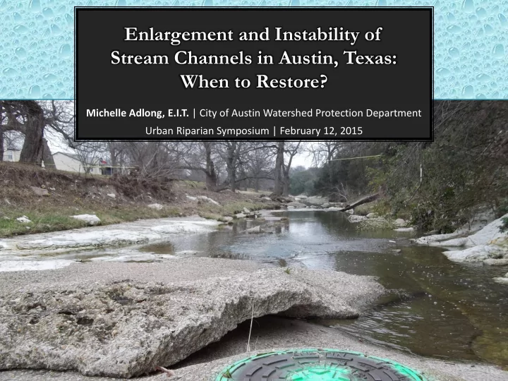
Michelle Adlong, E.I.T. | City of Austin Watershed Protection Department Urban Riparian Symposium | February 12, 2015
Enlargement and Instability of Stream Channels in Austin, Texas: - - PowerPoint PPT Presentation
Enlargement and Instability of Stream Channels in Austin, Texas: When to Restore? Michelle Adlong, E.I.T. | City of Austin Watershed Protection Department Urban Riparian Symposium | February 12, 2015 STABILIZATION AND RESTORATION What type of
What type
- f
restoration is most appropriate?
STABILIZATION AND RESTORATION
A STREAM IN EQUILIBRIUM
πΉπ Γ π¬ππ β πΉπ Γ π»
Laneβs Balance:
Sediment Discharge Particle Size Flow Discharge Stream Slope
Source: ASCE
Stream Power Sediment Load
CHANNEL EVOLUTION MODEL (CEM)
- Understanding a
streamβs stage in channel evolution helps select appropriate restoration techniques
- Passive vs. active
restoration
- βWatershed
restorationβ another approach
INITIAL STABLE CHANNEL
Source: Fish Creek Coalition
- Original stable channel: sediment
load and stream power are in equilibrium
- Typically channel is vegetated and
well-connected to floodplain
Restoration Method: Passive Active
STAGES I AND II: DISTURBANCE AND INCISION
- Watershed development (Ξ Qw) or
channelization (Ξ S) typically increases stream power, interrupts equilibrium
- Response: Incision and headcutting
Source: Fish Creek Coalition
Restoration Method: Passive Active
CEM STAGE III: WIDENING
- Incision leads to steep, overly high
banks
- Altered hydrology increases shear
forces on banks
- Result: Bank failures, erosion, widening
Source: Fish Creek Coalition
Restoration Method: Passive Active
CEM STAGE IV: AGGRADATION AND PLANFORM ADJUSTMENT
- Decrease in stream power due to
widening
- Deposition of sediment carried from
upstream degrading reaches causes aggradation, formation of bars Restoration Method: Passive Active
Source: Fish Creek Coalition
CEM STAGE V: QUASI-EQUILIBRIUM
- A new inset floodplain and bankfull channel
forms in the aggraded channel
- Evolution process takes many years, even after
disturbance in the watershed has stabilized
- Stable does not imply static flowpath
Restoration Method: Passive Active
Source: Fish Creek Coalition
HOW HAVE AUSTINβS CREEKS EVOLVED?
Channel Enlargement Study
- 1 to 3 cross
sections at 45 sites in Austin watersheds
- Sites were re-
surveyed in 2015 (in progress)
Tannehill Creek at Givens Park in 2015
- Select cross section
location at wastewater lines
- Survey cross
sections in 1997 and 2015
1. Wastewater line alignment 2. Perpendicular & downstream of wastewater line
- Note locations of
flowline, active bankfull channel, top of banks
- Observe channel
type, channel features
WATERSHED EROSION ASSESSMENT GEOMORPHIC SURVEYS
Survey Procedure
DEFINING CHANNEL GEOMETRY
Channel Geometry
- Active Bankfull Elevation, zabf
- Top of Bank Elevation, ztop
- Cross Sectional Area, A
- Top Width, W
- Flow Depth, D
- Hydraulic Depth, DHyd
- Width : Depth Ratio, W/DHyd
Change over Time
- Enlargement Ratio, Re
- Normalized Enlargement Rate, ππ
- Incision Factor, IF
WATERSHED EROSION ASSESSMENT GEOMORPHIC SURVEYS
Calculations
ππ = π΅π’ π΅π’0 ππ = πππ’ β πππ’0 π’ β π’0 π½πΊ = πΈπ’ πΈπ’0 π½πΊπΌπ§π = πΈπΌπ§π,π’ πΈπΌπ§π,π’0 WπΊ = π/πΈ π’ π/πΈ π’0
2015 SURVEYS
2015 Survey Locations (So Far) 1997 Survey Locations
Enlargement Ratio over Time (Reference: Active Bankfull)
PRELIMINARY RESULTS
PRELIMINARY RESULTS
Incision Factor (Hydraulic depths taken from geometric top of bank) By Watershed
PRELIMINARY RESULTS
Width : Hydraulic Depth Ratio over Time By Watershed
PRELIMINARY RESULTS
Width : Hydraulic Depth Ratio over Time By Channel Type
Section 18
LITTLE WALNUT CREEK EXAMPLE SECTION
- Approx. 2500 ft
upstream of Cameron Road
2015 1997
- Bedrock bottom
channel
- Mowed on left side,
natural on right
Looking downstream through section
Section 54
TANNEHILL BRANCH EXAMPLE SECTION
- Initial downcutting and widening
- Erosion of steep bluff on right
bank
- Reestablishment of inset
channel
50' D/S of Confluence with Tannehill Tributary in Givens Park
1997
Looking downstream through section
2015
Section 83
BUTTERMILK CREEK EXAMPLE SECTION
- Clearing of banks
- Widening
- Possible meandering of
bend
- Stormwater
infrastructure
Behind Lot 110 off
- f England ROW
2015 1997
Looking upstream through section
- Development disturbs channel
equilibrium, sets in motion years of channel evolution
- Geometry of channel also depends on
stream type
- Restoration projects should evaluate
stage of channel evolution as well as
- ther geomorphic factors on a site by site
basis
- Passive restoration alone could be
undermined if channel instability is not taken into account
- Channel geometry is one, but not the
- nly, way to evaluate channel stability
CONCLUSIONS
THANK YOU
Clayton Ernst Sean Thompson Chris Adams Morgan Byars Stephen Davis
TANNEHILL BRANCH ENLARGING SECTION
Givens Park upstream
- f confluence with
tributary
2015 1997
- Outside of bend
- Mowed to top of
bank
- Informal trail
Section 53
Looking downstream through section