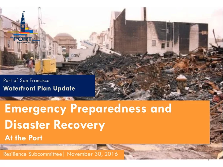

Port of San Francisco Waterfront Plan Update Emergency Preparedness and Disaster Recovery At the Port Resilience Subcommittee| November 30, 2016 1
Port Emergency Preparedness and Disaster Recovery Port of San Francisco Strategic Plan 2016-2021 Goal #4: Resiliency Lead the City’s efforts in addressing threats from earthquakes and flood risks through research and infrastructure improvements to the Seawall and Port property. 2
Existing Emergency Plans • Port of San Francisco Emergency Operations Plan, March 2016 • City and County of San Francisco Emergency Response Plan, December 2010 • Bay Area Earthquake Plan, September 2016 California Governor’s Office of Emergency Services (CalOES) Federal Emergency Management Agency (FEMA) 3
The Port Response Priorities Reopen Pier 1 and Pier 50 for response activities . 4
The Port Response Priorities Restore maritime and ferry operations. 5
The Port Response Priorities Begin response, recovery & restoration tasks on Port property. - Provide damage assessment teams for building inspection and reoccupancy. - Clear debris. - Restore priority routes and bridges. - Restore utilities. 6
Port Response Priorities Support City response and recovery with Port properties as available. 7
Emergency Response Map 8
Emergency Response Map 9
Emergency Response Map 10
Maritime Industry in Next Steps Disaster Recovery Maritime facilities & uses: - Vessels & berths: MARAD - Goods movement & debris removal: piers & rail - Passenger movement: ferry landings & cruise facilities - Harbor services: Westar, BayDelta, SF Bar Pilots Non-Maritime properties: - Embarcadero Roadway - Parks & open spaces - Parking lots 11 - The Backlands
The Issue • What is Sea level Rise (SLR)? • Warming + ice melt • What do we know about SLR? • 8” in 20 th century (tide gages) • Satellite measurement since 1993 • How will SLR evolve over 3 (2050) and 8 (2100) decades?
Resources for information on sea level rise • sf-planning.org/sea-level-rise-action-plan • Projects.sfchronicle.com/2016/ sea-level-rise/part2 • onesf.org (capital planning info)
MAYOR EDWIN M. LEE SLR COORDINATING COMMITTEE Co-Chair: Byron Rhett, Port of San Francisco Co-Chair: Diana Sokolove, San Francisco Planning Department City Administrator’s Office San Francisco International Airport San Francisco Public Utilities Commission San Francisco Municipal Transportation Agency Office of Economic and Workforce Development Port of San Francisco Office of Community Investment and Infrastructure Department of Building Inspection Capital Planning
PAST AND ONGOING OUTREACH AND ENGAGEMENT EFFORTS (Note: dotted line marks end of century, upper range projection with no action)
VULNERABILITY AND RISK ASSESSMENTS Completed STILL needed • Property/Assets • SFMTA Property/Assets – Port • Other Buildings and – SFO Properties – SFPUC • Energy, Waste Systems • Vulnerable Communities • Parks/Open Space • Communications
RESILIENCE BY DESIGN CHALLENGE • Equitable • Collaborative and Interdisciplinary • Replicable and Implementable • Innovative and Inspiring • Community and Design-driven
LOCAL AND REGIONAL COOPERATION
ON-GOING COORDINATION
Recommend
More recommend