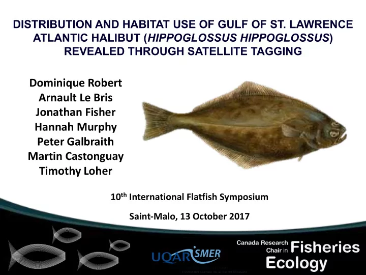

DISTRIBUTION AND HABITAT USE OF GULF OF ST. LAWRENCE ATLANTIC HALIBUT ( HIPPOGLOSSUS HIPPOGLOSSUS ) REVEALED THROUGH SATELLITE TAGGING Dominique Robert Arnault Le Bris Jonathan Fisher Hannah Murphy Peter Galbraith Martin Castonguay Timothy Loher 10 th International Flatfish Symposium Saint-Malo, 13 October 2017
Canadian Atlantic halibut stocks • Value of landings in 2015: $51 Million Gulf halibut – Exploited by 5 provinces – 30% of total landings – Stock considered healthy (DFO surveys, commercial catch)
Gulf halibut – good news 2017-18 = 1296 t Landings (t) Year DFO In prep.
Data needs for the Gulf stock • Biology – Spawning and nursery areas – seasonal migrations – habitat distributions • Development of stock assessment model – SSB, mortality, exploitation rate, reference points • Uncertainty on stock structure – genetic studies – tagging studies
Objectives of the study The main objective is to gain knowledge of key ecological traits of GSL halibut to inform and improve a new longline survey carried out in partnership with industry • Determine distribution and seasonal migrations • Assess depth associations over an annual cycle • Test the hypothesis that tagged individuals complete their annual cycle in the Gulf • Identify winter spawning grounds for the stock Record T, D, light for programmed durations Upon release, float and transmit data directly via satellites No need to recover PSATs to receive some data
Tagging Methods
Deployment locations 2013-14 (108-139 cm) 2014-15 (86-98 cm) 2015-16 (141-174 cm)
Depth and temperature: PSAT 131932
Putative spawning rise patterns Murphy et al. 2017. Marine and Coastal Fisheries n = 11 n = 11
Geolocation model Le Bris et al. (2017) ICES J Mar Sci • A hidden Markov model was used to compute the posterior probability distribution of daily locations between tagging and pop-off. • Consists of a process model (2D random walk) and an observation model (observational likelihood) considering depth and bottom temperature at a 2 km 2 resolution within NAFO 4RST.
Geolocation results – All fish Archived datasets 2013-14
Geolocation results – All fish Archived datasets 2014-15
Geolocation results – All fish Archived datasets 2015-16
Geolocation of spawning activity recovered tags (2014-2016)
Preliminary conclusions Ø So far, fish tagged in the GSL completed their seasonal migrations and spawned within the GSL Ø These results support the current management regime under which GSL stock is managed separately from southern stock Ø Geolocation model allowed the identification of migration corridors and putative spawning areas Ø Need for comprehensive satellite tagging in the whole management unit including the Northwest Gulf of St. Lawrence
Next steps: Strategic Grant 2017-20 Ø Extend sat tagging to the northwestern and southern sectors of the GSL Ø Validate and possibly extend the geolocation model Ø Assess connectivity among the different sectors of the GSL through otolith chemistry Ø Identification of spawning and nursery areas through modelling of egg and larval drift
Deployment locations Sep-Oct 2017
Merci pour votre attention!
Recommend
More recommend