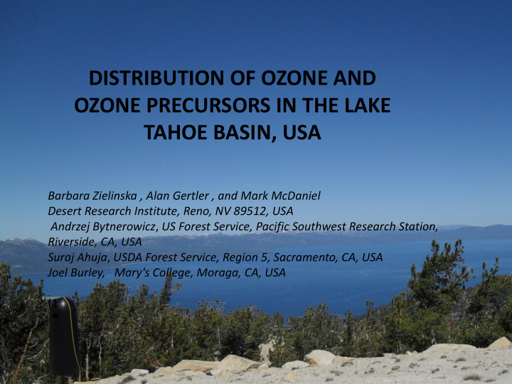


DISTRIBUTION OF OZONE AND OZONE PRECURSORS IN THE LAKE TAHOE BASIN, USA Barbara Zielinska , Alan Gertler , and Mark McDaniel Desert Research Institute, Reno, NV 89512, USA Andrzej Bytnerowicz , US Forest Service, Pacific Southwest Research Station, Riverside, CA, USA Suraj Ahuja , USDA Forest Service, Region 5, Sacramento, CA, USA Joel Burley, Mary's College, Moraga, CA, USA (1
Introduction • Lake Tahoe, situated at 6,225 ft in the Sierra Nevada mountain range, is the largest alpine lake in North America. Its depth is 1,645 ft making it the USA's second-deepest lake. It has 191.6 sq mi of surface area and 71 mi of shore line. • Known for the clarity of its water and the panorama of surrounding mountains on all sides, Lake Tahoe is a major tourist attraction in the California – Nevada area. It is home to a number of ski resorts and summer outdoor recreation. The Nevada side also includes large casinos. • However, the Lake Tahoe Basin is facing major problems in air quality and declining water clarity (due to urban stormwater runoff, atmospheric deposition, etc.) Ozone (O 3 ) levels in the Tahoe Basin are coming dangerously close to violating the Federal Air Quality Standards
Major Objectives • Primary objective of this study was developing a better understanding of the distribution of ozone, ozone precursors and their contribution to ground-level ozone formation in the Lake Tahoe Basin • Importance of the long-range transport of polluted air masses from the California Central Valley vs. the local generation of the pollutants
Methodology • Air quality monitoring network was established on 34 remote sites inside and outside of the Lake Tahoe Basin, using passive samplers for nitrogen oxides (NO x ), nitrogen dioxide (NO 2 ), ammonia (NH 3 ), ozone (O 3 ), nitric acid (HNO 3 ) and volatile organic compounds (VOCs) • Passive samples were collected over 2-week periods from June 15 to September 29, 2010. • On a subset of 10 monitoring sites (called “mega sites”), we measured real-time O 3 concentrations to evaluate diurnal changes of the pollutant concentrations and to calibrate the passive O 3 samplers.
Monitoring Sites Elevation Site (type) (feet) Serene Lakes 7370 Loon Lake 6323 Hobart Mills 5926 Watson Creek (M) 7524 Watson Mountain Road 7176 64 Acres 6235 Lower Blackwood Ck. (M) 6392 Tahoe Park Upper Blackwood Ck. 7149 Barker Pass 7690 Thunderbird Sugar Pine Point (M) 6400 Angora Lookout (M) 7277 Desolation Wilderness 7992 Valhalla (M) 6252 Echo Summit 7310 Woodford’s 7014 Desolation Wilderness Heavenly Gun Barrel 7829 Heavenly Ridge Bowl 9128 Angora Lookout Heavenly Sky Express 9984 Genoa Peak 7000 (M) 7071 Genoa Peak 8000 (M) 8035 Genoa Peak 9000 (M) 8881 Clear Creek 6886 Little Valley 6417 Elevation Elevation Diamond Peak 8434 Site (type) (feet) Site (type) (feet) Upper Incline (M) 8278 White Cloud 4197 Sly Park 3500 Thunderbird (M) 6171 Forest Hill Seed Orch. 4109 Riverton Ridge 4024 Buoy on the Lake 6225 Tahoe Regional Park 6437 Blodgett 4260 Kelly Lake 4197
Monitoring Methods • Passive samplers: – Ogawa passive samplers for NOx, NO 2, NH 3, O 3 – nitric acid (HNO 3 ) – Radiello passive samplers for VOC • Real-time O 3 concentrations with the active UV-absorption 2B Technologies instruments powered by 12 V batteries and solar panels
Monitoring Methods, cont.
Analytical Methods • Radiello VOC samples were analyzed by the thermal desorption gas chromatography/mass spectrometry (GC/MS) method. A Varian 3800 GC with Saturn 2000 MS detection equipped with a Gerstel TDSA-3 thermal desorption unit was used for these analyses. • Radiello 141 packed with Carbopack X adsorbent was analyzed for isoprene and 1,3-butadiene and Radiello 145 packed with Carbograph 4, for α -pinene, benzene, n- hexane, cyclohexane, toluene, ethylbenzene, m/p-xylene, styrene, n-octane, n-nonane, n-decane, n-undecane). • Ogawa passive samplers were analyzed according to manufacturer protocols (Ogawa & Co., USA, Inc., http://www.rpco.com/assets/lit/lit03/amb3300_00312_pro tocolno.pdf).
Results – Ozone Daily Data
Ozone Diurnal Concentrations
Ozone Average Concentrations - Passive Data Genoa Peak 7000 7071 White Cloud 4197 Angora Lookout 7277 Hobart Mills 5926 Genoa Peak 8000 8035 Forest Hill Seed 4109 Desolation Wilderness 7992 Watson Creek 7524 Genoa Peak 9000 8881 Blodgett 4260 Watson Mountain Road 7176 Valhalla (M) 6252 Clear Creek 6886 Sly Park 3500 64 Acres 6235 Echo Summit 7310 Little Valley 6417 Riverton Ridge 4024 Lower Blackwood Ck 6392 Woodford’s 7014 Diamond Peak 8434 Kelly Lake 4197 Upper Blackwood Ck. 7149 Heavenly Gun Barrel 7829 Upper Incline 8278 Serene Lakes 7370 Barker Pass 7690 Thunderbird 6171 Heavenly Ridge Bowl 9128 Loon Lake 6323 Sugar Pine Point 6400 Buoy on the Lake 6225 Heavenly Sky Express 9984 Tahoe Regional Park 6437
Ozone Passive Data: July 29 – August 25, 2010
Volatile Organic Compounds (VOC) Averaged over whole Monitoring Period Sampling sites are arranged according to their elevations
Biogenic and Anthropogenic Hydrocarbons
Toluene/Benzene and m&p- Xylene/Benzene Ratios (ppbv/ppbv)
Oxides of Nitrogen NO NO2 NO/NO2 12.0 6.0 10.0 5.0 8.0 4.0 NO/NO2 ppbv 6.0 3.0 4.0 2.0 2.0 1.0 0.0 0.0
Preliminary Conclusions • High concentrations of O 3 were found on the western slope of the Sierra Nevada mountain range affected by emissions from the California Central Valley. For those sides, Toluene/Benzene (Tol/Bz) and m&p-Xylene/Benzene (m&pXyl/Bz) ratios were generally low, which indicates aged air masses. • High O 3 concentrations were found in the middle of Lake Tahoe, accompanied by high Tol/Bz, m&pXyl/Bz, and NO/NO 2 ratios as well as high anthropogenic VOC concentrations, especially higher molecular weight hydrocarbons n-decane and n-undecane. This may indicate the influence of local spark ignition and diesel engine emissions (for example from large boats) • Another high O 3 concentrations were measured on the eastern side of the Basin at high elevation sites, which showed low Tol/Bz and m&pXyl/Bz ratios. This may indicate long range transport of pollutants.
Acknowledgments This study was supported by the grant from the U.S. Department of Agriculture Forest Service through the Tahoe Science Program funded by the Southern Nevada Public Lands Management Act (SNPLMA).
Recommend
More recommend