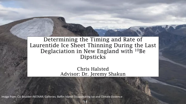

Determining the Timing and Rate of Laurentide Ice Sheet Thinning During the Last Deglaciation in New England with 10 Be Dipsticks Chris Halsted Advisor: Dr. Jeremy Shakun Image from: CU Boulder INSTAAR; Galleries; Baffin Island: Disappearing Ice and Climate Evidence
Ice Sheets Ocean Atmospheric Circulation Composition Sea Level Temperature Background Method Expected Results
Paleo Reconstructions >13.4 14.5-14.6 Figure from NSF proposal #1602280 >18.8 Figure modified from Ridge et al. (2012) Background Method Expected Results
Research Objective: • Construct 10 Be dipsticks using mountains throughout New England to constrain the timing and rate of ice thinning at these locations Motivating Questions : • Did thinning occur predominately during the Oldest Dryas/Heinrich Stadial I cold period or during the Bølling-Allerød warm period? • Do the timing and rate of southeastern Laurentide thinning indicate that this ice mass contributed to MWP-1A? • If not, did it respond to the abrupt warming after this event? • How accurately do current deglacial models depict ice thinning in New England? Background Method Expected Results
10 Be Dipsticks: Concept and Creation 10 Be concentration in quartz (atoms g -1 ; N 10 ) 10 Be production rate in quartz at the sample site (atoms g -1 yr -1 ; P 10 ) 10 Be decay constant (yr -1 ; 10 ) • 4.99 x 10 -7 yr -1 From Balco (2011) t = Amount of time that the surface has been exposed to cosmic rays!! Figure from von Blanckenburg and Willenbring (2014) Background Method Expected Results
10 Be Dipsticks: Concept and Creation Depth (cm) Figure from Gosse and Phillips (2001) Figure from von Blanckenburg and Willenbring (2014) Background Method Expected Results
10 Be Dipsticks: Concept and Creation Deglaciation Today LGM Background Method Expected Results
10 Be Dipsticks: Concept and Creation Modified from NSF proposal #1602280 Old Young Exposure Age Background Method Expected Results
More Data = Better Histories n = 10 n = 12 n = 6 Goal is to create dipsticks at locations shown to constrain the n = 9 n = 7 timing and rate of Laurentide n = 15 thinning at each location Monadnock n = 8 n = 7 n = 4 n = 6 Background Method Expected Results
Existing New England Dipsticks: • Central Maine (Mt. Katahdin): Rapid thinning between 16-15 ka (Davis et al., 2015) • Coastal Maine (Acadia): Rapid thinning around 15.2 ± 0.7 ka (Koester et al., 2017a) • Mt. Washington, NH (Koester et al., 2017b): Difficult to fully assess Background Method Expected Results
Franconia Exposure Ages 1700 Franconia Exposure Ages 1700 1500 1500 1300 1300 Elevation (m) Elevation (m) 1100 1100 900 900 700 700 500 0 20000 40000 60000 80000 100000 120000 140000 160000 180000 Age (yr) 500 0 2500 5000 7500 10000 12500 15000 17500 20000 22500 25000 27500 30000 Age (yr)
Field Photos! Sampling in Northern VT in November… Glacially-deposited boulders
References Cited • Davis, P.T., Bierman, P.R., Corbett, L.B., and Finkel, R.C., 2015, Cosmogenic exposure age evidence for rapid Laurentide deglaciation of the Katahdin area, west-central Maine, USA, 16 to 15 ka: Quaternary Science Reviews, v. 116, p. 95-105. • Dyke, A.S., and Gibbard, P.L., 2004, An outline of North American deglaciation with emphasis on central and northern Canada, Elsevier. • Gosse, J.C., and Phillips, F.M., 2001, Terrestrial in situ cosmogenic nuclides: theory and application: Quaternary Science Reviews, v. 20, no. 14, p. 1475-1560. • Koester, A.J., Shakun, J.D., Bierman, P.R., Davis, P.T., Corbett, L.B., Goehring, B.M., Vickers, A., Zimmerman, S.H., 2017a, Rapid thinning of the Laurentide ice sheet at Mt. Washington, NH, during the Bolling Warming, constrained by analysis of cosmogenic 14C and 10Be: Geological Society of America Abstracts with Programs, v. 49, no. 6. • Koester, A.J., Shakun, J.D., Bierman, P.R., and Davis, P., 2017b, Rapid thinning of the Laurentide Ice Sheet in coastal Maine, USA during late Heinrich Stadial 1: Quaternary Science Reviews, v. 163, p. 180-192. • Ridge, J.C., Balco, G., Bayless, R.L., et al., 2012, The new North American Varve Chronology: A precise record of southeastern Laurentide Ice Sheet deglaciation and climate, 18.2-12.5 kyr BP, and correlations with Greenland ice core records: American Journal of Science, v. 312, no. 7, p. 685-722. • von Blanckenburg, F., and Willenbring, J.K., 2014, Cosmogenic Nuclides: Dates and Rates of Earth-Surface Change: Elements, v. 10, no. 5, p. 341-346.
Recommend
More recommend